

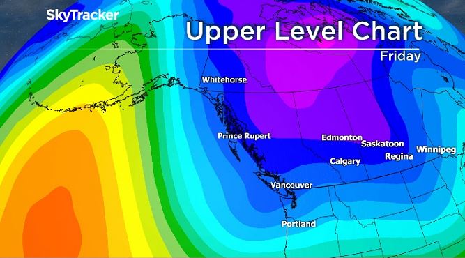
An Arctic ridge of high pressure has settled over many parts of B.C. Monday and it’s bringing a blast of winter weather.

Global BC meteorologist Yvonne Schalle said this high pressure will bring clear skies and cold conditions across the province.
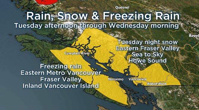
However, Tuesday afternoon, conditions will change to rain mixed with snow for most areas, with the risk of freezing rain over eastern sections of Metro Vancouver, the Fraser Valley and Inland Vancouver Island, Schalle added.


“Heavy snow is possible Tuesday night over Howe Sound, the Sea to Sky Highway and eastern areas of the Fraser Valley,” Schalle said.
Temperatures will vary on Wednesday, but the Arctic air will return Thursday.
“Temperatures will be cold enough towards the end of the week and while it’s a still a few days out we have a chance for snow near Christmas,” Schalle added.
Comments
Want to discuss? Please read our Commenting Policy first.