
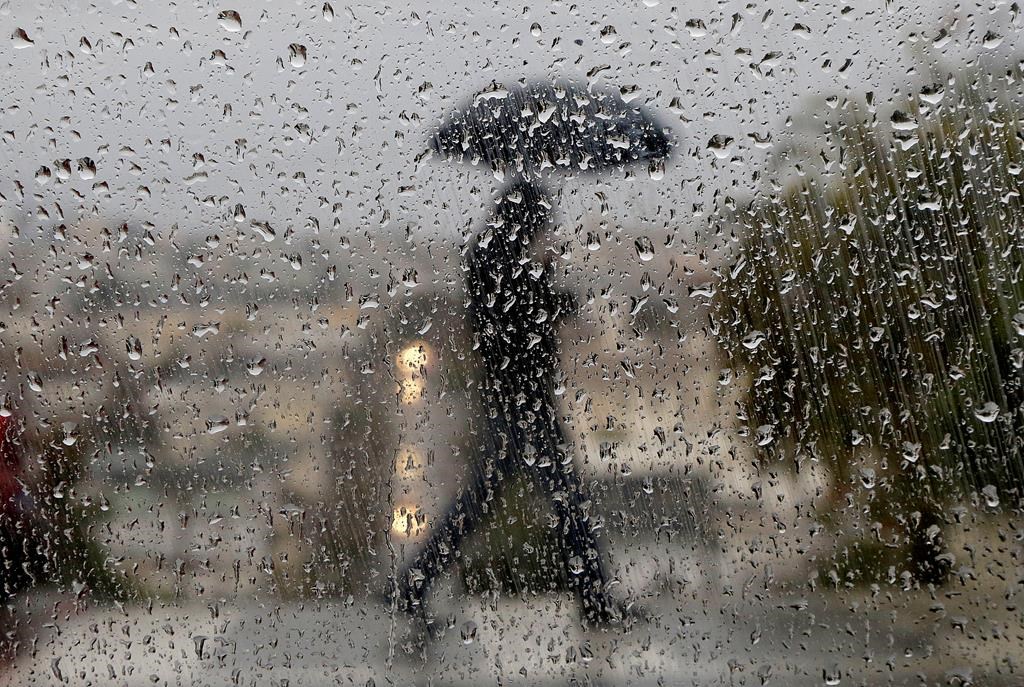
Rain and wind warnings are in place for the London and Middlesex region as Environment Canada calls for significant rainfall amounts and strong gusts that may cause damage.

The warnings, which are also in place for most of southern Ontario, come as forecasters with the national weather service monitor a strengthening low pressure system that is expected to track northeast from the U.S. across the Great Lakes on Saturday.
According to Environment Canada, the region could see rainfall amounts of 20 to 40 mm starting late Friday through to Saturday afternoon, along with gusts that could reach up to 90 km/h.
Read more: Heavy rain, strong winds expected in Hamilton and southern Ontario this weekend: Environment Canada
The agency warns that flooding may be possible, especially in low-lying areas. The frozen ground will be unable to absorb rainfall, and melting snow will contribute to runoff, the warning says.
The strong gusts may result in utility outages and damage to buildings and loose objects, the warning states.
Environment Canada says temperatures will likely fall rapidly on Saturday night, allowing for some light snow.
The incoming weather has prompted flood watches and warnings from several area conservation authorities, including Long Point Conservation Authority, who issued a flood warning for the Lake Erie shoreline in its watershed.

Get breaking National news
The conservation authority says models forecast Lake Erie will rise by 0.75 metres above the current level in Long Point, and 1.67 metres above the current level in the Port Colborne Area.
“Strong winds are expected to cause wave heights greater than 1.5 meters (± 5 feet) in the Long Point area and up to 2.3 meters (± 7.5 feet) towards the eastern limits of the watershed. Water levels are forecasted to peak Saturday evening,” the flood warning states.


Flooding is expected in lower lying areas along the shoreline and the lower reaches of some tributaries, the conservation authority said, noting that shoreline erosion can be expected from this event.
Elsewhere, the Kettle Creek Conservation Authority has issued a flood watch, as has the Lower Thames River Conservation Authority.
Ausable Bayfield Conservation Authority, Catfish Creek Conservation Authority, St. Clair Region Conservation Authority, and the Upper Thames River Conservation Authority have issued flood outlooks or watershed condition statements.
The forecast for London calls for cloudy skies and rain, at times heavy, starting late Friday evening, with a risk of thunderstorm before morning. The overnight low will fall to 4 C rising to 11 C by morning.
Rain showers are expected to end late in the morning Saturday, followed by cloudy conditions, then a 60 per cent chance of rain or flurries in the afternoon.
Winds of 40 km/h gusting to 70 are expected in the morning before increasing to 60 km/h in the early afternoon, gusting to 90.
Saturday is expected to be milder earlier in the day, with a high of 14 C expected around 1 p.m., falling to 3 C later in the afternoon. The average high for this time of year is 1.3 C.
Comments
Want to discuss? Please read our Commenting Policy first.