

Conservation authorities are issuing a variety of warnings ahead of what’s set to be a wet weekend in southwestern Ontario.

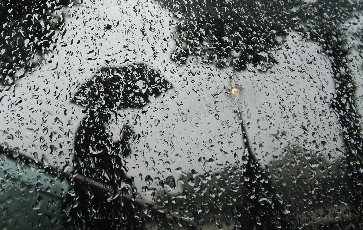
Environment Canada warns heavy rain and strong winds will move into the London region Friday night and into Saturday night.
The national weather agency calls for rainfall amounts between 20 and 40 millimetres with winds gusting up to 90 kilometres per hour.
The weather system is being brought in by a cold front making its way through the region.
One of the more severe warnings comes from the Kettle Creek Conservation Authority, which has issued a flood watch for the Lake Erie shoreline and watershed.
The KCCA says those along the shoreline, and in particular those in Port Stanley, should be extra observant of local conditions over the weekend. Homeowners are also reminded to check for potential drainage issues and ensure their sump pump is in good working order.
The Long Point Region Conservation Authority is also issuing a flood warning for the section of the Lake Erie shoreline that’s under its jurisdiction.
A similar warning has been issued for those along the Lake Huron shoreline with strong winds forecast in that area from Saturday and into Sunday.
- Trudeau tight-lipped on potential U.S. TikTok ban as key bill passes
- Canadian man dies during Texas Ironman event. Her widow wants answers as to why
- Hundreds mourn 16-year-old Halifax homicide victim: ‘The youth are feeling it’
- On the ‘frontline’: Toronto-area residents hiring security firms to fight auto theft
The Ausable Bayfield Conservation Authority said this could lead to high waves in Lake Huron capable of reaching 3.5 metres, which may cause flooding and erosion problems along the shoreline.
Nearby residents are asked to stay well back from breaking waves and to stay away from top-of-bluff areas during and after the storm.
Residents along the Lake St. Clair shoreline are also under a similar warning, however the St. Clair Region Conservation Authority says there is only the potential for minor flooding or erosion.
Still, increased wave action is possible, along with a storm surge along the shoreline. The SCRCA says everyone should avoid shorelines, watercourses and flooded areas throughout the weekend due to the potential conditions.
Elsewhere, the Catfish Creek Conservation Authority is asking residents to use extreme caution near flood-prone, low-lying areas along the Catfish Creek watershed, as well as any tributaries flowing off of it.


No major flooding is expected, but water levels may rise and remain high during the weekend.
The CCCA is also advising against doing any recreational activities in the watershed during the upcoming weather system.
In London, the Upper Thames River Conservation Authority is asking residents to stay away from watercourses over the weekend, although no serious flooding is expected.
The UTRCA says while it does not expect the small amount of snow on the ground to contribute to any runoff, the ground is saturated enough to make it more susceptible to runoff.
Flood control reservoirs at the Fanshawe, Wildwood and Pittock conservation areas will be in operation in order to reduce any downstream flooding.
All of the messages from the aforementioned conservation authorities are expected to remain in effect until Monday.

Comments