


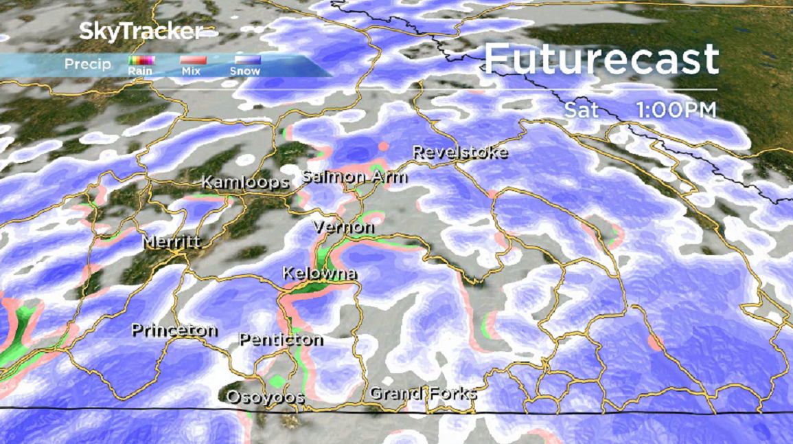
After a wet start to the first week of December, drier weather will slowly start breaking through this week.

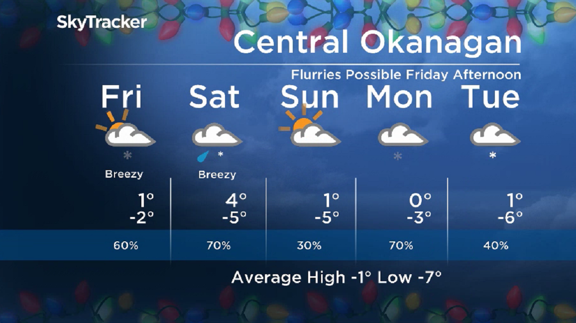
For Thursday, temperatures will rise to just above freezing before falling to around -9 C overnight.
The risk of a few more flurries returns to finish the week on Friday afternoon, with a daytime high hovering around the freezing mark.
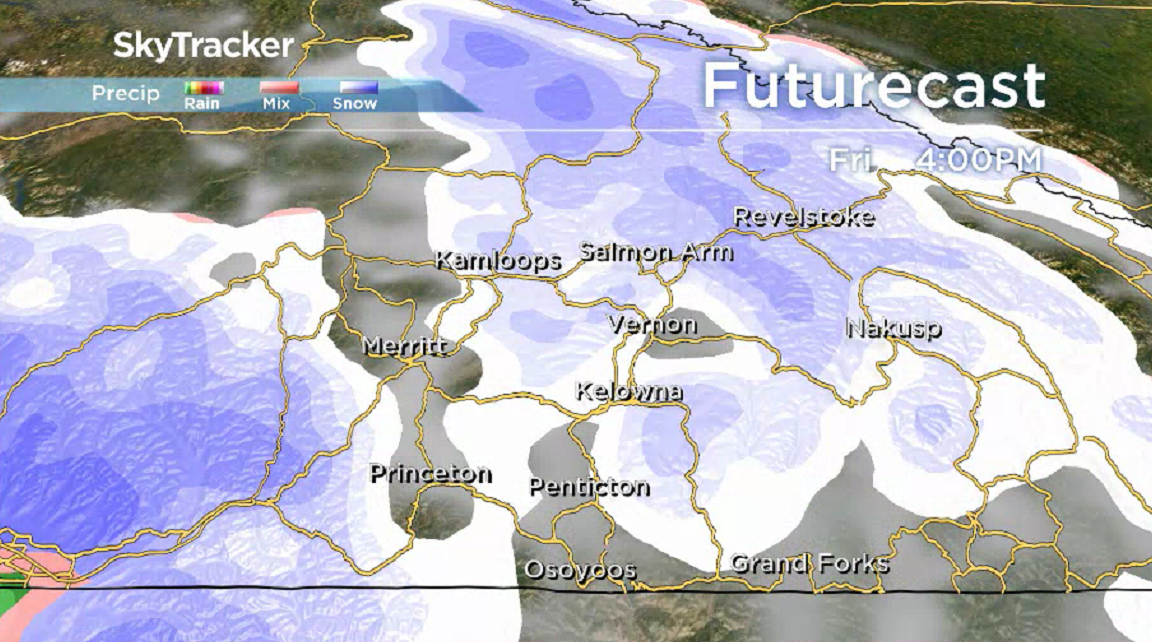
Mixed precipitation is expected on Saturday, as temperatures climb into the mid-single digits.
The potential for precipitation diminishes on Sunday, with a chance of some late-day sunny breaks, as the mercury makes its way just above freezing in the afternoon.
- Tropical Storm Polo expected to become a major hurricane this week
- Record slow hurricane season, but Maritimers warned to stay vigilant about extreme weather
- Tornado confirmed in Winnipeg neighbourhood, another west of the city
- ‘A lot of work ahead’: Storm-ravaged Saskatchewan cities continue cleanup



Get daily National news
Clouds will linger into the day on Monday, with a chance of flurries as daytime highs hover around freezing.
For weather on the go download the Global News SkyTracker Weather App for iPhone, iPad or Android.


Comments
Want to discuss? Please read our Commenting Policy first.