
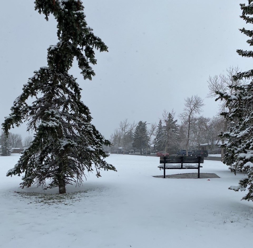
After an unusually warm Saturday with highs around 20 C for much of the province, Alberta is about to get a weather reality check.

A cold front moving into the northern portion of Alberta was expected to track south throughout the day Sunday, forcing temperatures to plummet below freezing.
Along with the cold weather, heavy amounts of snow were forecast from the northern edge of the Rockies, down along the foothills, to the southwest corner of Alberta.

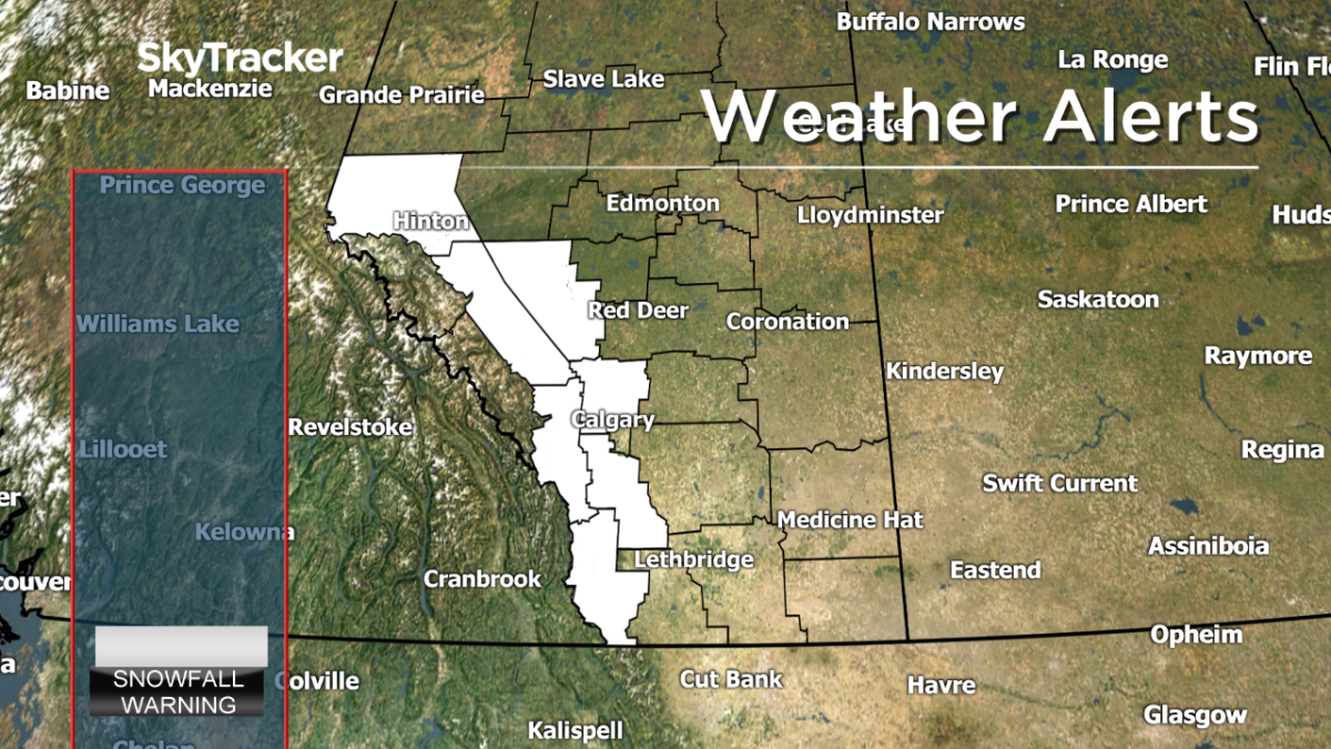
This incoming upsloping system prompted Environment and Climate Change Canada (ECCC) to issue extensive weather warnings Saturday all the way from Hinton and Grande Cache to Waterton.
“A total of 10 to 15 cm is expected to fall through the day today.”
Communities surrounding Calgary to the north, west and south — including Airdrie, Cochrane and Okotoks — were all under snowfall warnings as of Sunday morning.
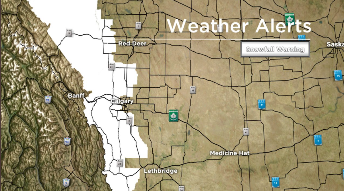
As of 8 a.m. Sunday, the cities of Lethbridge and Red Deer were not under any warnings.

Get breaking National news
On Sunday at 12:40 p.m., Calgary was placed under a snowfall warning.
“Calgary will see variable snowfall totals, with higher amounts expected in western sections of the city,” the agency said. “Snowfall will taper off on Monday morning.”
Snowfall warnings for Calgary and Rocky View County near Cochrane ended on Sunday at 5:20 p.m.
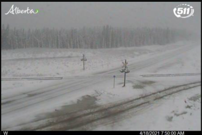


Wind gusts from the north could create temporary whiteout conditions as that snow moves in, with poor driving conditions already reported around Grande Cache first thing Sunday morning.
Because this is a spring system, the majority of the snow should melt fairly quickly due to temperatures warming up by the middle of the week.
However, as this system is expected to track in over the QEII corridor and areas along the southern foothills, ECCC warned that road conditions could be temporarily affected.
“Visibility may be suddenly reduced at times in heavy snow.”
The city of Calgary is anticipating between five to 10 cm of snow Sunday with north winds of 30 to 50 km/h.
April is typically Calgary’s second-snowiest month annually with an average of 18.8 cm of snow. As of April 17, 2021, there have only been trace amounts of snow.
For a look at the current weather watches and warnings, click here.
Want your weather on the go? Download Global News’ Skytracker weather app for iPhone, iPad and Android.
Comments
Want to discuss? Please read our Commenting Policy first.