


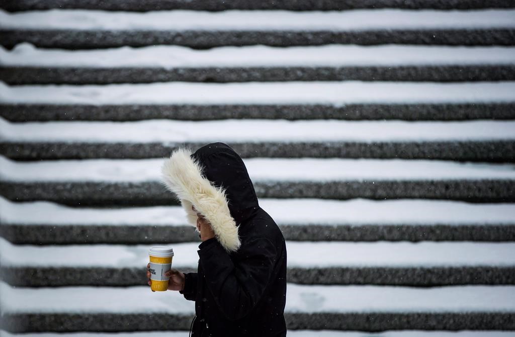
A weather alert for much of B.C.’s South Coast this weekend has been upgraded to a snowfall warning.

Metro Vancouver, the Fraser Valley, Greater Victoria, the Sunshine Coast and eastern Vancouver Island are covered by the warning.
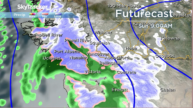
Environment Canada’s Saturday forecast for the region anticipates between five and 15 cm of snow across the region by Sunday afternoon.

Get daily National news
The agency said a cool airmass is expected to bring rain and snow across Vancouver Island and the Sunshine Coast on Saturday evening, but arriving closer to midnight in Metro Vancouver and the Malahat Highway area.

That mixed precipitation should change to snow by Sunday morning, it said.
Snowfall amounts will vary widely by region and elevation, Environment Canada said.
Read more: Snow day sillies: From bike-lane skiers to shoveling unicorns, Metro Vancouver basks in snow


A special weather statement remained in effect Saturday for the rest of Vancouver Island, with snowfall of between five and 10 cm expected.
Communities near the water, such as downtown Vancouver and Nanaimo, will see snow in the five cm range, it said.

Metro Vancouver areas with an elevation over 300 metres could see up to 10 cm, while inland, higher elevation areas of eastern Vancouver Island, from Campbell River to Courtenay, could see up to 15 cm.
Up to 10 cm of snow is expected to fall on the Malahat Highway.
Environment Canada forecasts the snow will shift to rain late Sunday afternoon.


Comments
Want to discuss? Please read our Commenting Policy first.