Southern Ontario is in for some record-setting temperatures, but not in the way that most people would want, with historical cold hitting the province just in time for Mother’s Day weekend.

After seeing a high of 20 C on Sunday, Toronto and the surrounding Greater Toronto Area woke up to a Monday that will see a brisk high of 11 C and a low of minus 1.
Though Mother’s Day weekend will be sunny with some clouds, the high at the moment is predicted to be 9 C on Saturday and 11 C for Sunday.
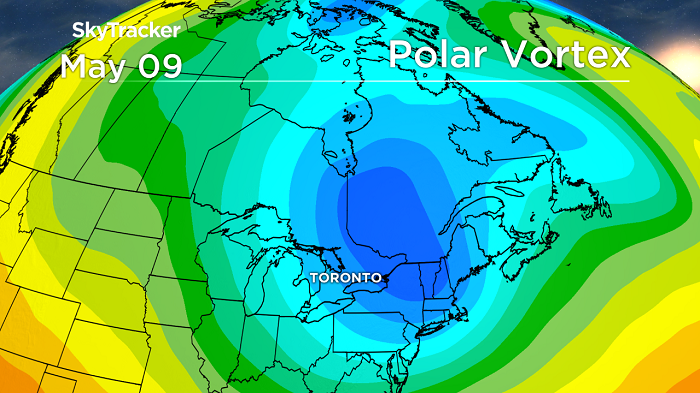
A polar vortex has been sitting over the North Pole for much of winter and has helped bottle up the Arctic air and keep conditions relatively mild across Canada.
The unusual strength and stability of this vortex was also the reason for a large hole in the ozone layer that formed over the past couple months, but has since closed up.
That polar vortex is now breaking down over the pole and a large chunk of it will be setting up shop across the eastern half of Canada.

Get breaking National news
In relation to normal, the coldest air on the planet will be over southern Ontario and Quebec for a few days centered around Mother’s Day weekend.

This will lead to record cold temperatures, snow flurries and squalls and several nights of hard freezes that will stop the growing season in its tracks.
There is also a slim chance of a snow storm early next week.
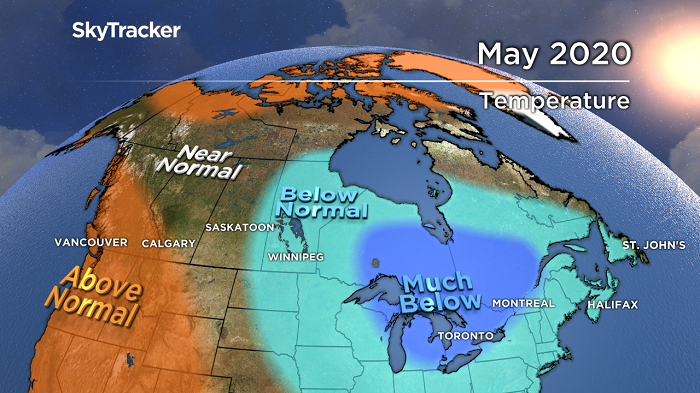
The May forecast points to a very chilly month across Ontario and Quebec, with most of that cold hitting in the next couple weeks.
The good news is that it is May, which has very long days with a high sun angle that always wins out in the end.
The normals are rising quickly, therefore, much below seasonal in May means something completely different to much below seasonal in January.
—With files from Jessica Patton


Comments