

A series of low-pressure systems are expected to develop over the next several days, pushing constant, widespread rain across the Prairies and putting halt to harvest.

According to the most recent Alberta Crop Report, harvest is only eight per cent complete, which is behind the five-year average of 14 per cent and a couple of points behind this time last year. Harvest hasn’t started yet in the northeast or northwest because of major crops not being ready or too wet.

Persistent rainfall in the forecast will push progress father back for farmers with 25-50 millimetres possible across Alberta, Saskatchewan and Manitoba into next week.
Embedded thunderstorms and heavier localized rainfall could boost totals closer to 70 millimetres, according to Environment Canada.
READ MORE: 2019 harvest underway in Alberta
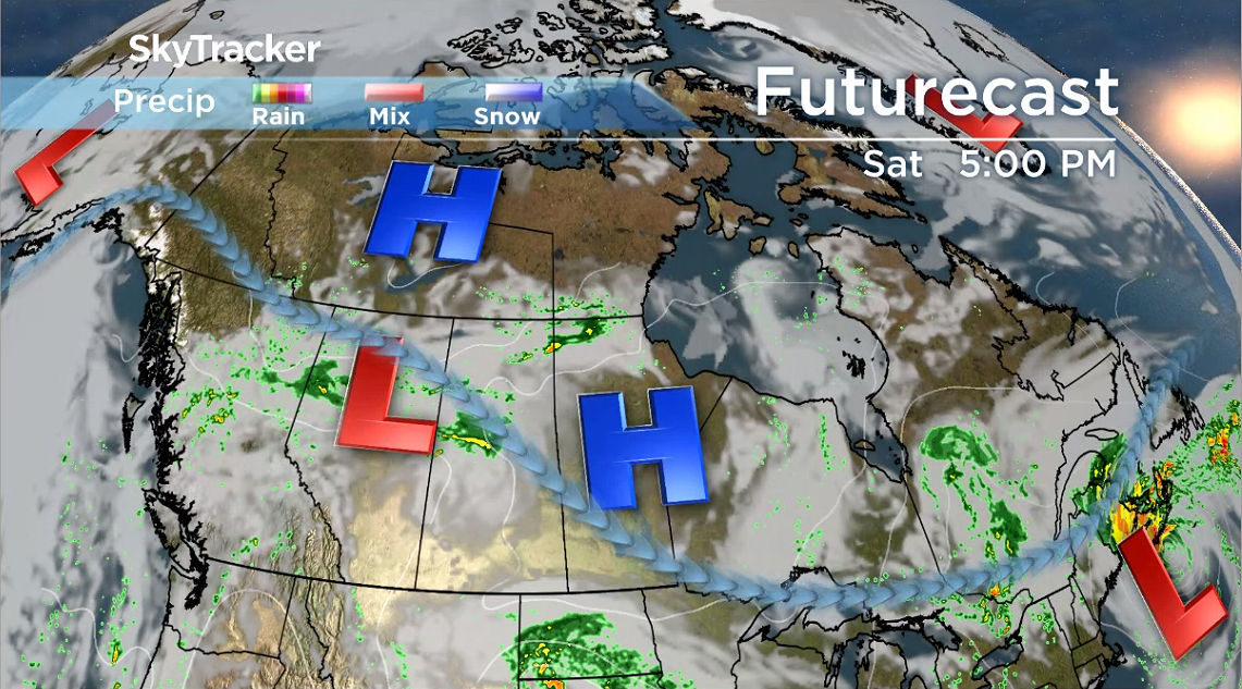
The first low-pressure system will develop over central Alberta on Saturday, bringing rain to northern and central Alberta.

Get daily National news
Upslope flow will increase the risk of thunderstorms in the northern foothills throughout the weekend.
READ MORE: Edmonton-area farmers unable to harvest crops due to heavy rainfall, unlikely to get second cut
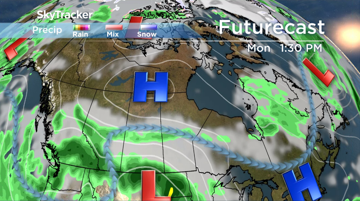
Another low-pressure system is expected to develop over Montana on Monday and will push rainfall into the southern Prairies.
The Montana low will impact southern Saskatchewan and Manitoba early Monday, then moisture will wrap back around to Alberta as it rotates counterclockwise.
- Thorhild, Westlock counties declare state of agricultural disasters due to rain
- ‘Prolonged stretch of hot air,’ poor air quality advisories blanket the Prairies
- 2 tornadoes touched down in Rocky Mountain House, Environment Canada confirms
- Heavy Nova Scotia rain threatens flooding on anniversary of deadly 2023 flash flood


Once again, upslope flow could initiate thunderstorm activity and heavier rainfall amounts in the southern foothills throughout next week.
The bulk of the moisture for Alberta is expected on Monday however lighter rain is forecast to persist until Wednesday, as the slow-moving Montana low weakens and tracks northeast.

The guidelines for rainfall warnings to be issued in the Prairies is 50 millimetres or more within 24 hours or 75 millimetres or more within 48 hours and Environment Canada said it doesn’t expect that criteria to be reached.
This rainfall event is forecast to stretch into late next week and because of the longevity, weather models will be closely monitored and conditions may change.
To stay updated with radar and weather alerts in your area, download the Global News Skytracker weather app for iPhone, iPad or Android.
Comments
Want to discuss? Please read our Commenting Policy first.