
Severe thunderstorm warnings were ended for Calgary and surrounding areas on Sunday night.

On Saturday, a warning for Kananaskis and Canmore went from 4:20 p.m. to 5 p.m., according to Environment Canada.
The warning for Nordegg and Forestry Trunk Road Highway 734 went from 4:30 p.m. to 6:20 p.m.
The warning for Okotoks, High River and Claresholm was from 4:30 p.m. to 6:40 p.m.
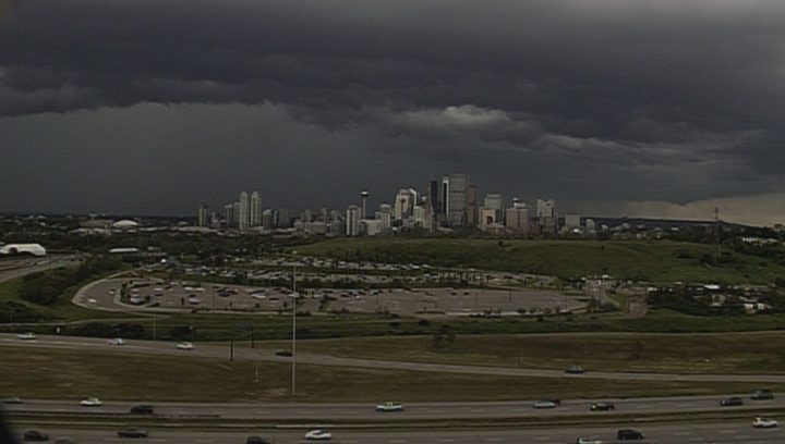
Calgary’s warning was in effect from 4:45 p.m. until 5:45 p.m.
The warning for Airdrie, Cochrane, Olds, Sundre, Rocky Mountain House and Caroline went from 4:50 p.m. to 6:20 p.m.
Warnings for
All following warnings were ended by 10 p.m. on Sunday night.


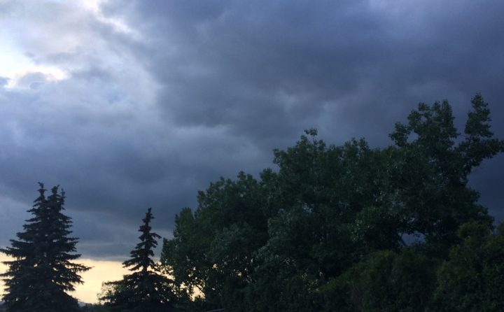
The agency’s meteorologists said the storm could produce very strong wind gusts, up to nickel-sized hail and heavy rain.

Get breaking National news
The thunderstorm was near Priddis, moving to the northeast at 35 kilometres per hour, Environment Canada said.
On Sunday at 7:20 p.m., severe thunderstorm warnings were issued for Calgary, Airdrie, Cochrane, Olds and Sundre. The line of thunderstorms was located from Crossfield to Calgary, moving to the east at 30 km/h. The weather agency said the storm would likely impact the north part of Calgary.
The storm could produce very strong wind gusts, up to nickel-sized hail and heavy rain.
The warning for Rocky View County near Cochrane ended close to 8 p.m.
Also near 8 p.m., severe thunderstorm warnings were issued for Brooks, Strathmore, Vulcan, Drumheller, Three Hills, Lloydminster, Wainwright, Vermilion, Provost, Medicine Hat, Bow Island and Suffield.
Calgary’s severe thunderstorm warning ended at around 8:20 p.m.
Environment Canada advised people to take cover immediately if threatening weather approaches.
Monitor the latest weather conditions and alerts with Environment Canada.


Comments
Want to discuss? Please read our Commenting Policy first.