
If it felt like it was cold in April, that is probably because it was although that is not out of the ordinary, according to Frank Seglenieks of the University of Waterloo Weather Station.

He says that April 2019 was colder and wetter than average but this continues a trend over the past few years which has seen cooler springs than over the previous two decades.
“So if you were to compare this past April with just the last five years it would have been just average for temperature,” Seglenieks said in his monthly weather update. “That’s why I said although the month was colder than the long-term average maybe it wasn’t wholly unexpected when compared to the most recent years.”
READ MORE: March brought a mix of cold and warm weather, precipitation to Waterloo region
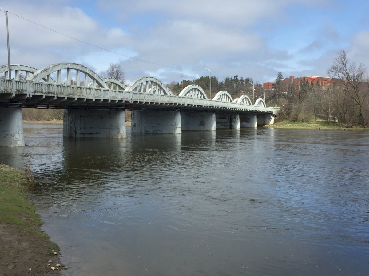
The area saw 117.2 mm of precipitation last month, well above the long-term average of 74.5 mm. This boosts total precipitation for the year to 309.8 mm, which is well above the 264.4 mm average.


In addition, the average daily high of 9.9°C was a degree-and-a-half below the average of 11.5°C although the daily low of 0.5°C was closer to the long-term average of 0.8°C.
It has also been a wet year so far with the total precipitation for the year now at 309.8 mm, which is much more than the 264.4 mm the area would expect at the end of April.
Comments