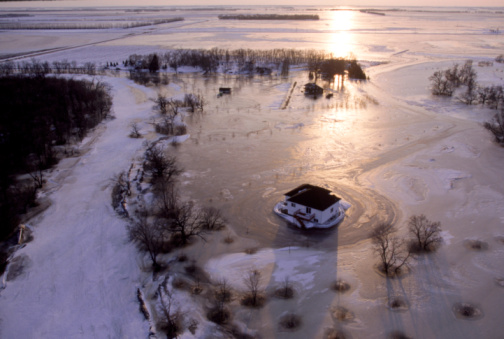
American flood forecasters say a slow and gentle melt continues across the Red River basin due to favourable temperatures and dry weather conditions.

In its flood potential outlook, the National Weather Service (NWS) said a warm end to last week and the first half of last weekend helped to melt the snowpack across the region.
“Some areas have begun seeing ponding of water in fields and ditches,” the report said. “Rivers and streams remain largely ice covered across most of the region but with some open water, especially across the far southern valley and into west central Minnesota.”
However, thanks to cooler air in the region for the second half of last weekend and the beginning of this week has helped slow the melting, delaying river flooding.
With temperatures to increase to above the freezing for most of the week and overnight temperatures expected to dip below freezing, it’s expected to continue to slow down the melting.

Get breaking National news
“The increasing temperatures will likely contribute to more locations seeing ponding of water,” read the report. “However, river flooding is not expected to commence through the end of the week.”
Little to no precipitation is expected in the region for the next week.
The report said its flood outlook issued March 15, when it said the probability of major flooding went up along the Red River, with major to moderate flooding possible along its tributaries, remains valid.
NWS said it won’t be issuing anymore outlooks this spring, however, it will issue an updated thaw progress report on March 28.


Comments
Want to discuss? Please read our Commenting Policy first.