- Calgary’s termination of Green Line adds extra frustration for expropriated Eau Claire residents
- Home ownership feels out of reach for many in Calgary
- Calgary police searching for sexual assault suspect after attack at swimming hole
- Kananaskis council planning fireguards to protect from wildfire threat


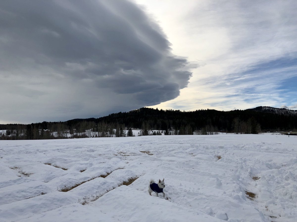
![A perfect chinook setup spurred strong winds and boosted temperatures above freezing on Monday in Calgary.Unfortunately, it’ll be a much different story on Tuesday — as snow is expected to blanket southern Alberta once again.[gallery ids="5045668,5045670,5045667,5045669"][readmore label="READ MORE: " link="https://globalnews.ca/news/2393378/what-is-a-chinook/" /]Strong chinook windsA strong westerly flow fueled strong winds on Monday — prompting Environment Canada to issue wind warnings along the southern foothills.Winds gusted over 90 km/h in the southern foothills early Monday morning and strengthened throughout the day.Nakiska clocked wind gusts just shy of 160 km/h in the afternoon.[readmore label="READ MORE: " link="https://globalnews.ca/news/4835093/temperature-change-swing-canada-january-10-pincher-creek/" /]Chinook-fuelled warmthThe upside to the strong chinook winds is they blew warmer temperatures into the region.At 5 p.m. on Monday, Calgary was the hottest place in Canada at 11.4 C — the warmest the city has been in 43 days.The snow eater decided to come back. Doing her thing on a Monday morning. A very welcome Chinook. pic.twitter.com/ZA1oSahQum— Stephen Hughes (@chinookranch) March 11, 2019Snowy Tuesday to followOn Tuesday, snow will be the big story with up to 15 centimetres expected in the southern foothills, which will be the hardest hit area.Lesser amounts around five to 10 centimetres are forecast for south-central Alberta.The wintry system will taper off throughout Wednesday.As for the rest of the week, temperatures will teeter around freezing until the weekend, when a warming trend will push highs into the double digits.To stay updated with radar and weather alerts in your area, download the Global News Skytracker weather app for iPhone, iPad or Android.](https://globalnews.ca/wp-content/uploads/2019/03/peak-wind.jpg?quality=85&strip=all&w=1200)


Comments