As the Prairies face wind chill temperatures of -40, officials issue an extreme cold alert.

But head east, and the City of Toronto does the same when it gets below -15 C. And halfway across the country, the City of Vancouver’s threshold is even less: at 0 C.
All across Canada, there are different criteria for what constitutes an emergency cold.
READ MORE: Canada’s extreme weather could be the new norm, governments should start preparing: experts
That’s because Environment Canada bases it on climatological norms instead of one specific criteria, Global News meteorologist Ross Hull explained.
“For instance, temperatures on average are much lower during the winter in a city such as Winnipeg compared to Toronto. So the warnings are tailored to what are considered weather extremes for a particular area,” he said.
Across the southern Prairies, the criteria for an extreme cold warning is a wind chill of -40 or colder for at least two hours, but in southern Ontario, the criteria is a wind chill of -30 or colder for at least two hours.
WATCH: Drastic cold snap in Edmonton brings out warmth in humanity

It’s worse in Yellowknife, where the criteria is a wind chill of -50 for at least two hours before issuing an extreme cold weather alert.

Get daily National news
The alerts are meant to allow Canadians to prepare and avoid frostbite, frostnip and hypothermia.
Here’s how cold it needs to be before Environment Canada issues an extreme cold warning:
But Environment Canada isn’t the only one that issues emergency cold warnings – many municipalities and cities do as well – but those alerts have a more specific purpose.
According to officials from the City of Toronto, the alerts activate services that help vulnerable communities like the homeless access to shelters.
“A warming centre is open at Metro Hall by 7 p.m. the day an alert is called, and remains open continuously until noon on the day an alert is terminated,” a statement from the city reads.
“Other services include notification to community agencies to relax any service restrictions, availability of transit tokens in some drop-ins, and additional overnight street outreach.”
READ MORE: Toronto under extreme cold weather alert
Toronto’s criteria for an alert is -15 C, or -20 with the wind chill.
According to the City of Vancouver, the threshold is less extreme; an extreme cold alert is activated when temperatures are near zero, when there’s sleet or freezing rain, or sustained winds.
Once an alert is activated, additional shelter beds are opened.
Extreme cold to continue across Canada
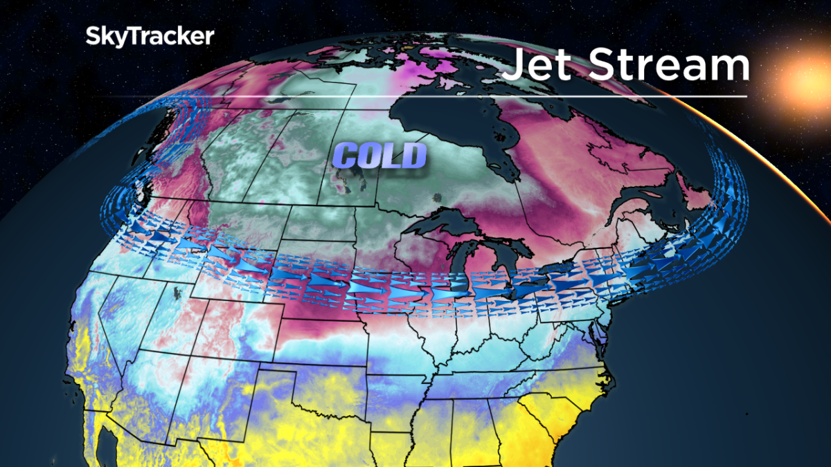
As February comes to a close, an arctic ridge of high pressure is bringing bitterly cold conditions across Western Canada, Hull explained. That cold air is moving also through parts of Eastern Canada.
“The extreme cold should let up midweek across the west but temperatures will still be below average — just not the extreme cold being experienced right now,” Hull said.
“However, another arctic ridge looks to set up later in the week into the weekend bringing more extreme cold.”
How to prepare for extreme cold
Follow the weather forecast and be aware of any extreme cold warnings issued by Environment Canada.
When going outside, wear layers to avoid the health hazards mentioned above.
IN PHOTOS: Here’s what an extreme cold snap looks like across Canada
Boots should be waterproof, and it’s recommended that people wear two or three layers of pants and shirts.
Finally, protect exposed skin with gloves, a toque and a scarf.
For more information on extreme cold and how to spot the symptoms of frostbite, consult Environment Canada‘s website.
*with files from Karen Bartko


Comments
Want to discuss? Please read our Commenting Policy first.