
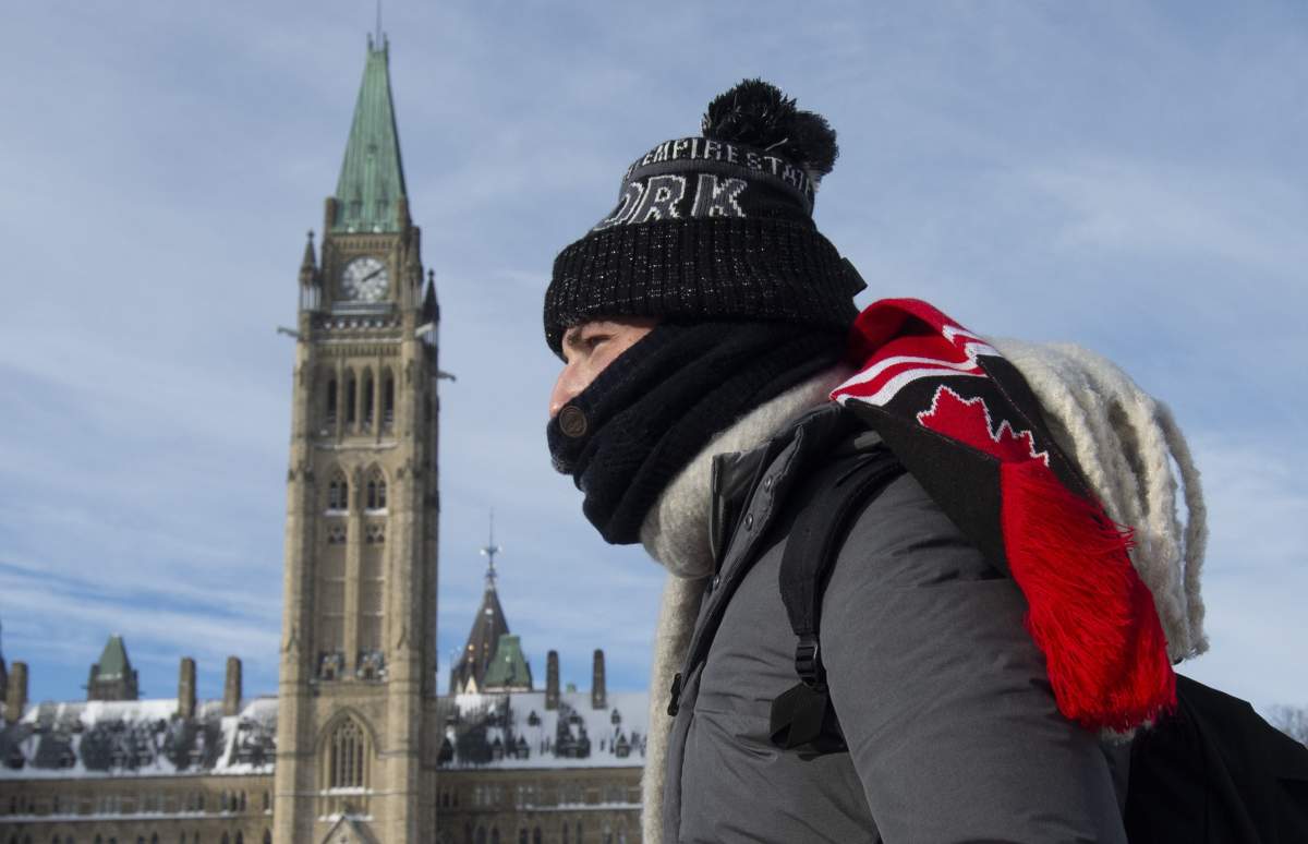
After a frigid stretch in Canada’s capital city, Environment Canada has ended an extreme cold warning for the city of Ottawa but warns that freezing rain may hit the area on Wednesday.

Tuesday morning kicked off with glacial wind chills near -35 C, which prompted the weather agency to initially maintain the extreme cold warning that had been in effect for several days.
Temperatures will “slowly rise” as the day goes on, with snow predicted for Tuesday night and lasting into Wednesday, the weather agency said.
The national weather agency has predicted the middle of the week will bring “brief relief” from the extreme cold, but the milder temperatures and snowfall on Wednesday might morph into freezing rain later in the day.
“Snowfall amounts will range from five to 10 centimetres over the Ottawa and St. Lawrence Valley areas, with 10 to 15 centimetres expected further west towards Georgian Bay,” Environment Canada said.

Driving conditions are expected to be poor, the agency added.

Get breaking National news
Ottawa police warned on Tuesday morning that roads throughout the national capital are “very slippery,” adding shortly after 10:30 a.m. that officers have responded to 71 collisions since 5 a.m.
- Winter’s grip continues across much of Canada; forecasts call for snow, freezing rain
- Strong atmospheric river forecast to hit coastal B.C. as spring break begins
- A blizzard, polar vortex, heat dome and atmospheric river: U.S. faces weather chaos
- Hurricane-strength winds knocked over semi trucks on the Coquihalla Highway


“We’ve seen most collision being slip-outs, or sliding into each other,” the Ottawa Police Service tweeted. “Please give yourself some room, and take your time.”
School buses are running in Ottawa but several agencies around Ottawa cancelled service for the second day in a row.
Comments
Want to discuss? Please read our Commenting Policy first.