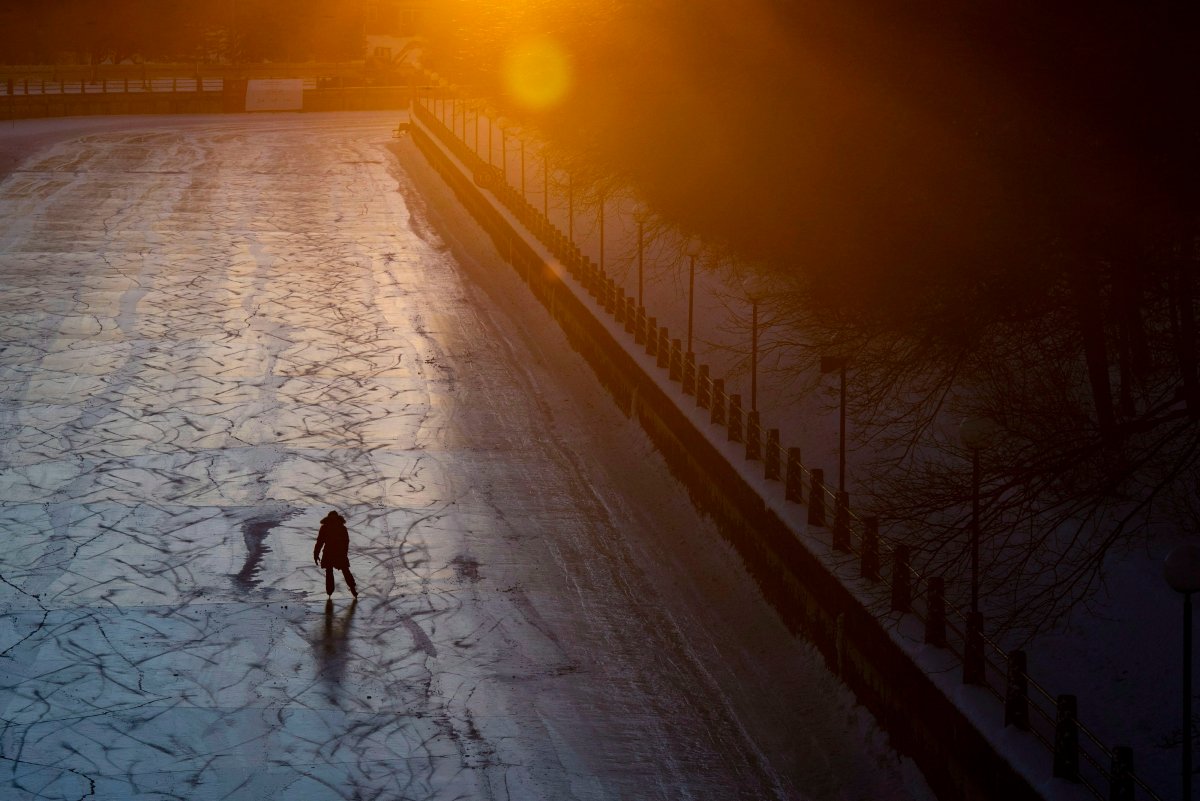
After Ottawa briefly claimed the title of chilliest capital city in the world and withstood its coldest snowstorm in decades over the weekend, an extreme cold warning for the city remains in effect on Monday, with Environment Canada predicting only a “brief relief” from the frigid temperatures mid-week.

The temperature with wind chill is forecasted to remain between -35 C and -40 C throughout Monday morning, rising to near -30 C in the afternoon, Environment Canada says.

The agency’s two-word recommendation for today: “Cover up.”
Frostbite can develop “within minutes” on exposed skin in these glacial temperatures, Environment Canada warned.
Ottawa’s public health agency also suggests residents dress in layers to protect skin from wind and moisture.
Environment Canada warns the risk of frostbite and hypothermia are greater for “young children, older adults, people with chronic illnesses, people working or exercising outdoors, and those without proper shelter.” The weather agency also cautions against leaving your pet outside for too long.
- Canadian man dies during Texas Ironman event. His widow wants answers as to why
- ‘Shock and disbelief’ after Manitoba school trustee’s Indigenous comments
- Several baby products have been recalled by Health Canada. Here’s the list
- ‘Sciatica was gone’: hospital performs robot-assisted spinal surgery in Canadian first
While Ottawa is currently colder than places like Greenland and the South Pole, areas in northern Ontario and the northern tip of the country and are measuring lower than -40 C without wind chill, Environment Canada meteorologist Marie-Eve Giguère.
According to WorldAtlas, Ottawa is on average the seventh coldest capital in the world, while the coldest is Ulaanbaatar, Mongolia.
Relief on Wednesday, Thursday will be ‘brief’: EC meteorologist
Environment Canada forecasts that temperatures in Ottawa will fall close to -25 C again on Monday night (with wind chill expected near -35) before a “milder air mass” moves in on Tuesday, providing some reprieve from the deep freeze on Wednesday and Thursday.
That relief, however, will be “brief,” Giguère said, and residents should be prepare for frigid temperatures again this weekend and throughout the rest of January.
Wind chill is expected to measure at -34 Tuesday morning and rise to -15 in the afternoon, rising again to -13 overnight. Some snow is forecasted for Wednesday, with a high of 0 C during the day and a chance of flurries on Thursday with a high of -7 C.
Temperatures are forecasted to plummet once more to -23 C on Friday night, Environment Canada says.
Last weekend’s cold snowstorm ‘rare’
A significant dump of snow accompanied Ottawa’s extreme cold temperatures over the weekend — which Giguère described as an “unusual” combination.
“It doesn’t happen often; it’s rare,” she said.

The Environment Canada meteorologist said the last recorded snowstorm with similar characteristics in the region was on Jan. 10, 1977 — 42 years ago.
Extremely cold snowstorms like this are rare because as the temperature drops, the air holds less and less water and therefore produces smaller and smaller snowflakes, Global News’ chief meteorologist Anthony Farnell explained.
“It becomes harder to get significant snowfall,” he said. “This weekend was a rare occurrence where Ottawa was at the intersection where cold Arctic air was anchored in place while moisture streamed north from the Gulf of Mexico.”
Police say driving conditions poor; school buses delayed
The snowfall and extreme cold since Friday have caused poor driving conditions on Ottawa’s roads.
The Ontario Provincial Police’s detachment in Ottawa reported on Monday that officers responded to 82 collisions on highways within the city between Friday evening and Monday morning.
The road conditions early Monday morning also contributed to many delays along school bus routes for English schools in the national capital, with some buses running up to an hour behind. The Ottawa Student Transportation Authority (OSTA) didn’t cancel any bus routes but school boards in regions surrounding the city of Ottawa did.
Ottawa-area MPP Lisa MacLeod and other parents argued on social media that OSTA should have cancelled buses given the delays and extreme cold temperatures.
“I think it’s incumbent upon OSTA … to look at the weather, understand that kids are more at risk (of) frostbite during this situation,” MacLeod told Global News in Toronto on Monday. “I think children’s safety ought to come first and it’s very disappointing.”
Vicky Kyriaco, general manager and chief administrative officer for OSTA, said the cold temperatures Ottawa is experiencing are “not unusual” for the city in the wintertime and Monday’s circumstances were not ones under which the authority would’ve normally cancelled routes.
“Our expectation for parents is that they’ll make the arrangements, just either stay with their kids or supervise them at the stops, bundle them up, make alternative arrangements if they’re concerned about the service,” Kyriaco said. “For us to simply cancel buses didn’t really make sense in the grand scheme of things.”
She said the roadways were “reasonably clear” but still slick, which slowed traffic and “slowed down the system.”
Kyriaco said OSTA hasn’t yet had a discussion about the status of school bus routes on Tuesday morning.
—With a file from Mike Armstrong in Montreal


Comments