
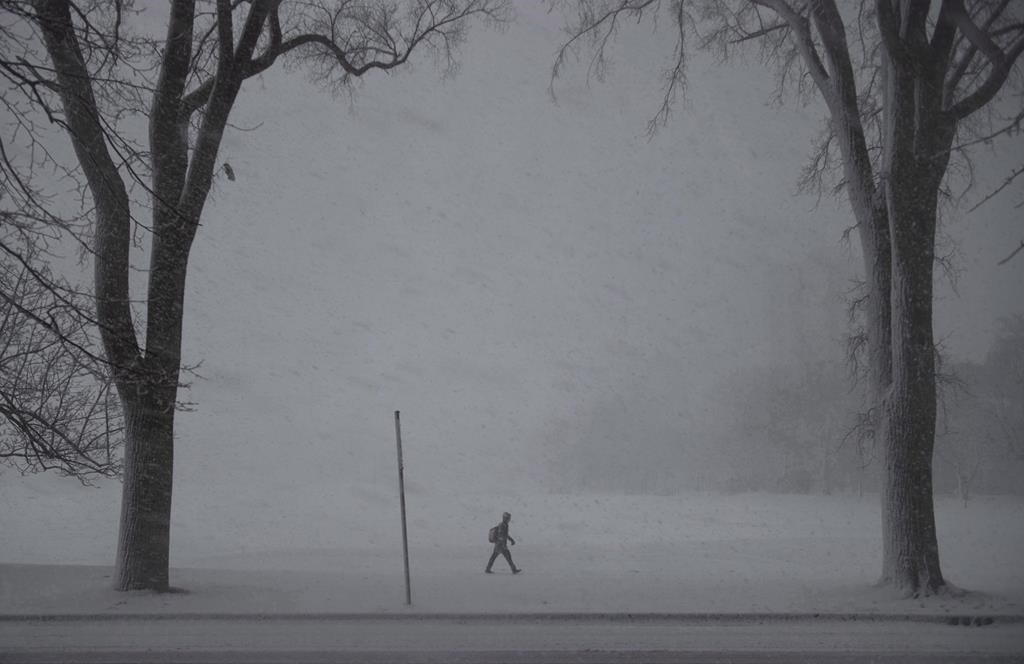
Expect a messy mixture of wintry weather for Nova Scotia as the middle of the week approaches.

Environment Canada says the snow should begin to fall Tuesday evening over southwestern Nova Scotia before spreading northeast on Tuesday evening.
The snow is expected to reach Cape Breton Island by Wednesday morning.
READ MORE: Snow, rain on the way to New Brunswick on Tuesday evening
The system is expected to change from snow to rain in a similar fashion, with coastal regions likely to receive rain sooner than inland areas.

Get breaking National news
Much of mainland Nova Scotia is expected to receive 15 centimetres of snow by Wednesday morning, with Cape Breton receiving the same amount by that night.
WATCH: Parts of Newfoundland slammed with snow as residents welcome 2019 with a blizzard


However, the system could change before it hits the province so expect at least some of the totals to change by Wednesday.
The heaviest snowfall for mainland Nova Scotia is expected in the morning hours on Wednesday. Combined with a strong southeasterly wind, it could cause poor driving conditions and a messy commute.
Comments
Want to discuss? Please read our Commenting Policy first.