
A winter storm warning is still in effect for the Coquihalla Highway, though the same alert for other mountain passes in B.C.’s Southern Interior have been rescinded.

However, the weather service was still posting a winter storm warning for the Coquihalla, from Hope to Merritt.
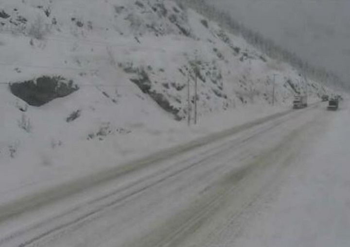
WATCH BELOW: (Aired March 23, 2018) Driving 120 km/h on Coquihalla Highway in snowy weather conditions

“Approximately 42 centimetres of snow has fallen near the Coquihalla summit since Monday night,” said Environment Canada. “The snow has tapered off to a few flurries this morning.


- Joffre Lakes to close for 3 periods this year under agreement with First Nations
- ‘Why aren’t we doing more?’ White Rock on edge with killer on the loose
- B.C. carjacking victim says she doesn’t trust the ‘catch-and-release’ system
- Inquest into fatal Surrey hostage-taking recommends cameras for ERT teams
“Rapidly accumulating snow will make travel difficult. Prepare for quickly changing and deteriorating travel conditions.”
On Monday, Environment Canada issued several storm warnings for B.C.’s Interior, predicting that approximately 50 cm of snow would fall on mountain passes from Monday overnight to Wednesday morning.
Also Wednesday, Environment Canada issued a special weather statement for high winds and rainfall for B.C.’s southern coast, including Howe Sound, the Sunshine Coast, Whistler, the Lower Mainland and most of Vancouver Island.
“A developing low pressure system over the Pacific will intensify rapidly tonight as it tracks towards the B.C. coast,” said Environment Canada. “The low is expected to make landfall somewhere along Vancouver Island on Thursday.
“There is good consensus among computer weather models that this intense low will move onto the coast on Thursday, but details on the exact track and timing remain uncertain at this time. With this system, there is the potential for both damaging winds and heavy rainfall, but determining which regions will be most impacted depends on the precise details of the track and timing.”
Comments