It’s that time of year when everyone gets curious about the winter forecast. So here is an early season outlook.

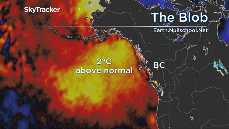
First of all, the Blob is back!
The Blob is a large area of water where the sea surface temperature has warmed to about two degrees above normal. This can have a huge impact on our weather across the West Coast.
We’ve seen this two times before. One time, briefly, in 2016 and the other a longer period from late 2014 through much of 2015.
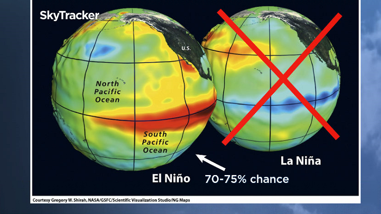
Second, we are on El Nino watch. Scientists from the NOAA Climate Prediction Center just released their latest prediction, saying there is a 70-75 per cent chance we are going to experience an El Nino year.
During the winter of 2014-15 was saw both of these features, “The Blob” and a strong El Nino and the winter turned out to be very mild. We saw almost no snow over lower elevations and a very low mountain snowpack.
Now, while this is great news for drivers, (although I urge you to put on snow tires anyway) it’s terrible news for skiers and snowboarders.

Get breaking National news
But don’t cancel your ski trips! This is an early season outlook and scientist are predicting a weak El Nino year this year versus the strong one we saw back in 2014-15.
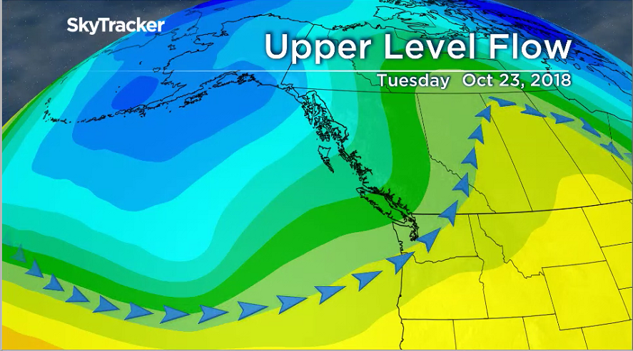
Also, “The Blob” is a result of our recent big upper level ridge in the jet stream.
This ridge is going to break down on Tuesday, Oct. 23 and we are going to see a series of stormy days. There is a chance “The Blob” may not survive this stormy period in which case the effects of a weak El Nino may not be all that dramatic on our winter season. Stay tuned.


Comments