


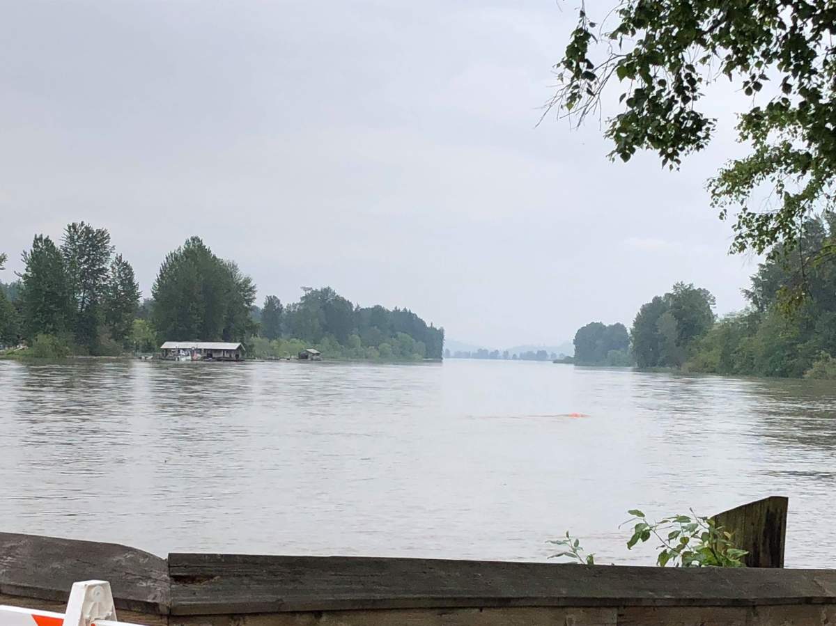
Communities along the Fraser Valley remain on edge as water levels in the Fraser River creep ever higher.

By 10 a.m. Saturday, the river had reached 5.94 metres at the key Mission Gauge measuring point. Beyond six metres, the river is considered beyond full bank conditions, and flooding is possible in low lying areas not protected by dikes.
In the Township of Langley, where 266 properties are on evacuation alert, director of public works Roeland Zwaag told CKNW’s The Jill Bennett Show preparations are underway for that event.
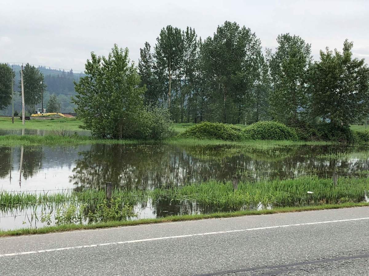
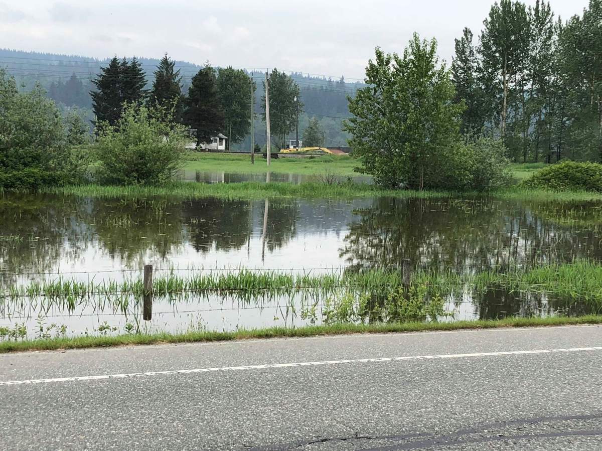
Click to view: Floodwaters swamp fields in Glen Valley


The BC River Forecast Centre has placed the lower Fraser under a high streamflow advisory, and levels are expected to reach as high as 6.6 metres by Monday as persistent warm weather continues to drive rapid snowmelt.
The last time the river reached those levels was in 2012. In that year, Zwaag said no evacuation orders were required.

Get daily National news
Zwaag added that people are being reminded to keep away from the river banks, which may be unstable.
“That’s the main reason we placed trail closure signs, high water signs everywhere, just to remind the public that even though it looks nice, there’s very fast moving water, a lot of debris coming down from the upper levels,” he said.


“So we remind people to kind of obey and look at the signs and make sure you don’t trespass into the wet area, and stay back as far as you can.”
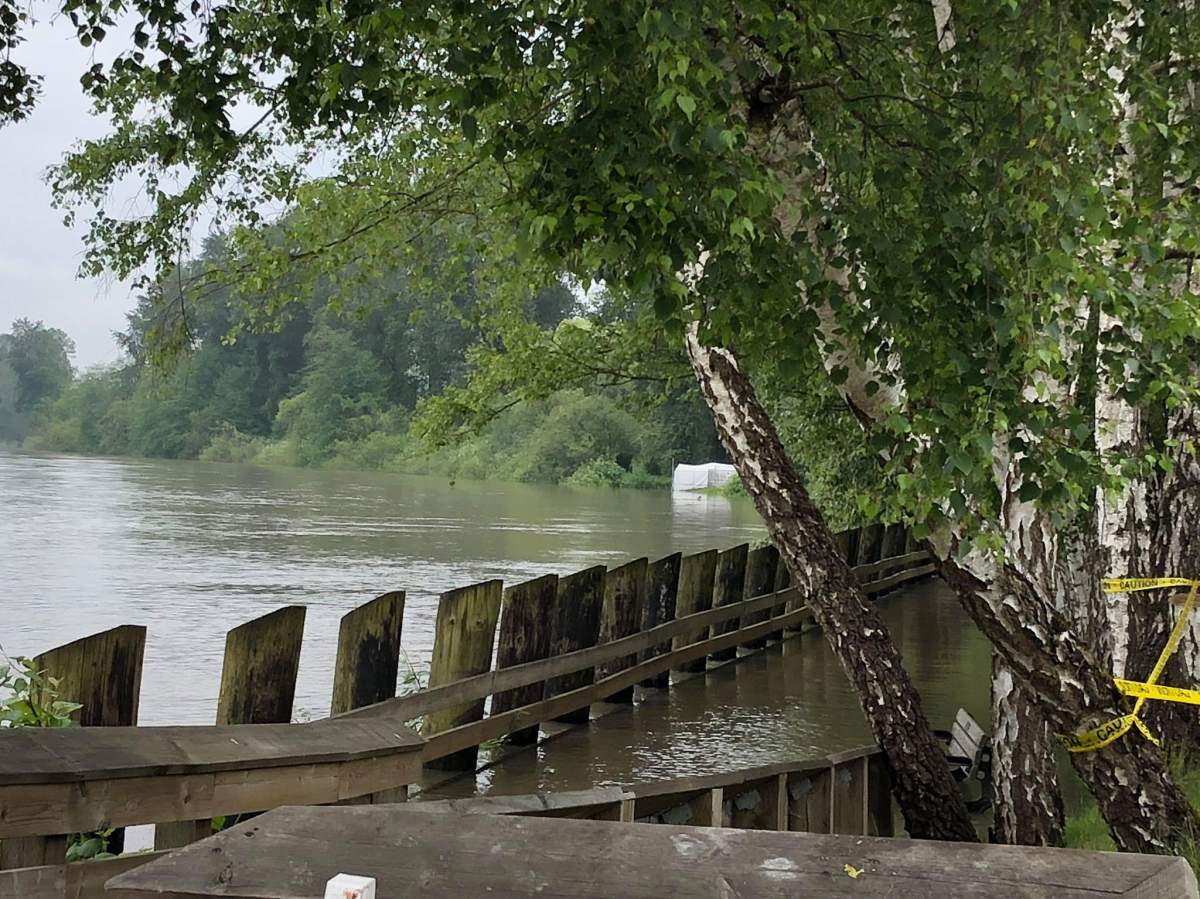
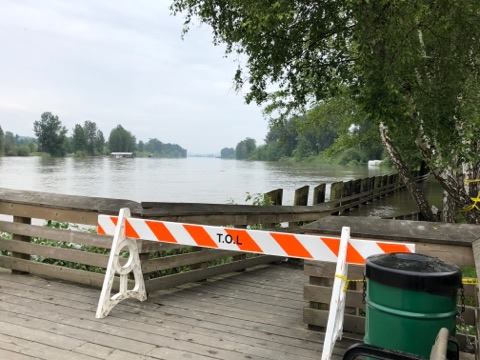
In Langley, large sections of the Fort to Fort trail along with the Marina Park boat launch and viewing deck have been closed.
Click to view: rising flood waters along the Fort to Fort trail in Langley


Chilliwack’s Island 22 Equestrian Park and Island 22 Riverside Trail have also been closed, as has the Barnston Island Regional Park and Kilby Park campground.
The District of Mission and City of Chilliwack have initiated daily dike patrols, and the Fraser Valley Regional District is offering sandbags to anyone whose property may be threatened by rising floodwaters.
In Hope, 44 homes remain under evacuation alert, while in Chilliwack 10 are under evacuation alert and three have been ordered to leave.
The City of Maple Ridge has issued a flood advisory for 55 properties on the river side of the Wharf Street dike in the Hammond neighbourhood, and has closed 144 Avenue west of 224 Street until further notice due to localized flooding.
Comments
Want to discuss? Please read our Commenting Policy first.