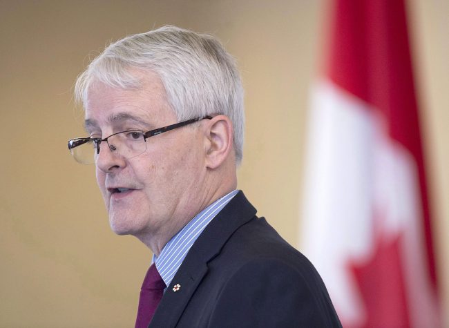
VANCOUVER – Transport Minister Marc Garneau says the federal government is investing in navigational mapping, ship monitoring and weather forecasting as part of the $1.5-billion Oceans Protection Plan.

Garneau says the federal government will spend $110 million over five years for the Canadian Hydrographic Service to chart 23 high-priority commercial ports and near-shore areas to fill gaps in navigational data and charts.

Get daily National news
He named seven additional coastal communities, including the T’Souke and Pacheedaht Nations on Vancouver Island, as partners to test new information systems for monitoring ship traffic – bringing the total to nine.
READ MORE: Spill equipment, orca study among newly unveiled details of Oceans Protection Plan


Nova Scotia-based Hercules SLR has been awarded an initial $180,000 contract to supply two emergency tow-kits to the Canadian Coast Guard.
Another $7.2 million over five years will fund the deployment of five smart buoys to improve weather forecasting on the East and West coasts.
Garneau says the plan will help protect the B.C. coast against any possible spills and will proceed regardless of whether the Trans Mountain pipeline expansion is built.
Comments
Want to discuss? Please read our Commenting Policy first.