
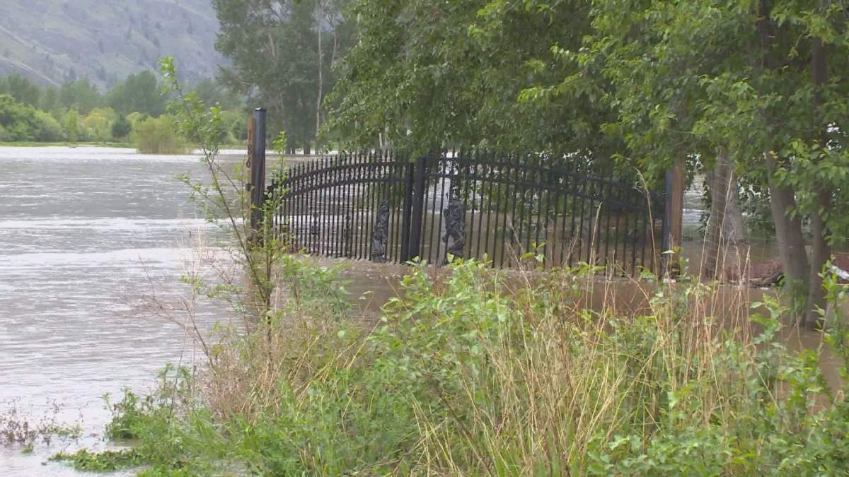
Officials are predicting the Similkameen River’s next peak could be about a third higher than the biggest flow seen last week.

Projections suggest it could hit a flow of 800 cubic metres a second, up from about 600 cubic metres so far, Dave Campbell, with the River Forecast Centre, said.
The water will likely push water levels up substantially in Osoyoos Lake as well, he added.
Average temperatures over the last three weeks have been about six degrees above normal for much of the province, Campbell said.
“Certainly over a three-week time period, that’s extreme. That’s been melting a lot of snow around the province very rapidly. At lower elevations, we’ve essentially melted out that snow.”

Get breaking National news
Up to two-thirds of snow at mid-elevations has melted but only 10 to 30 per cent of high-elevation snow has melted, he said.
The current weather forecast for this week is 8 to 12 degrees above normal for this time of year, Campbell added.
“Without a doubt, this is an extreme weather event with respect to the heat, and certainly a concern for the potential for snowmelt,” he said.
Officials say the middle of this week could see some wet weather.
“There’s some potential for rainfall, particularly in the southeast corner of the province,” Campbell said.
“Weather over the next period is going to be critical for how this situation plays out.”
The Okanagan, Boundary and Shuswap regions are currently the areas of highest concern, Campbell said.
The Kootenays could also see some problems, Campbell said.
“The rainfall and hot weather combined could be particularly challenging for there,” he said.
There are currently 1,988 evacuation orders and 2,621 homes on alert.


Comments
Want to discuss? Please read our Commenting Policy first.