

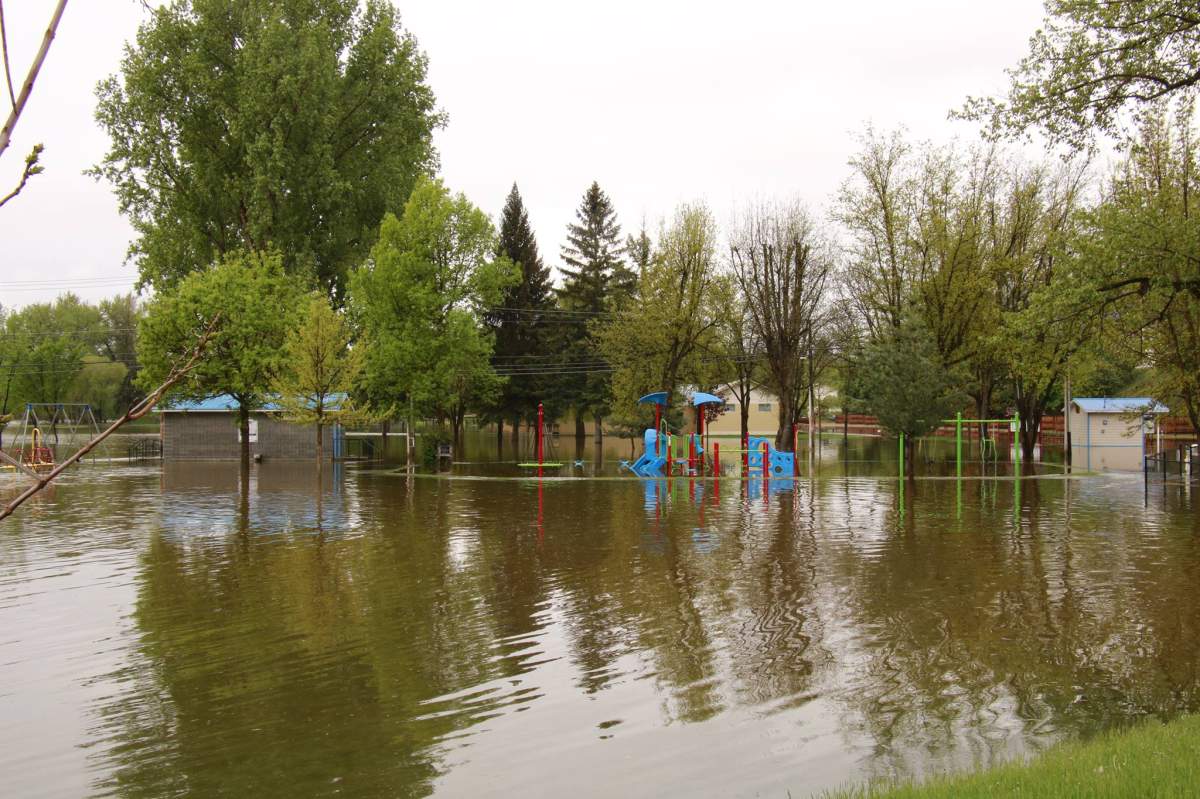
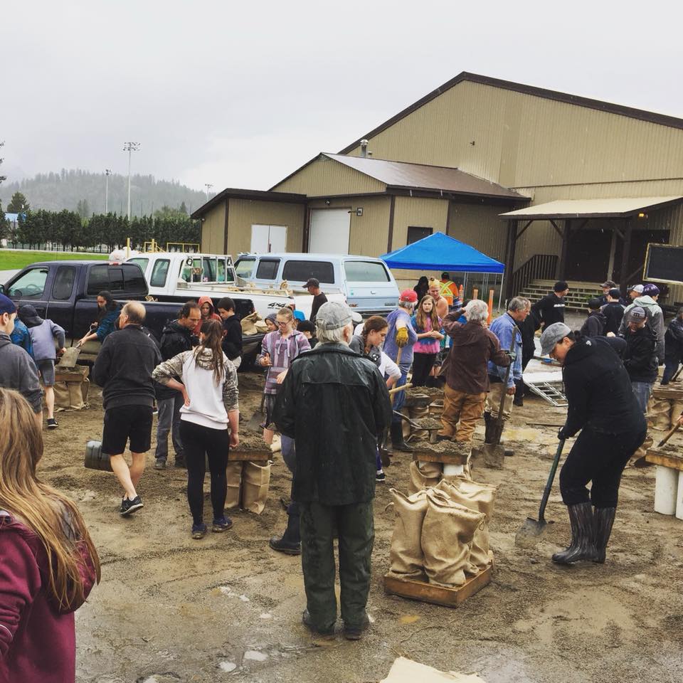
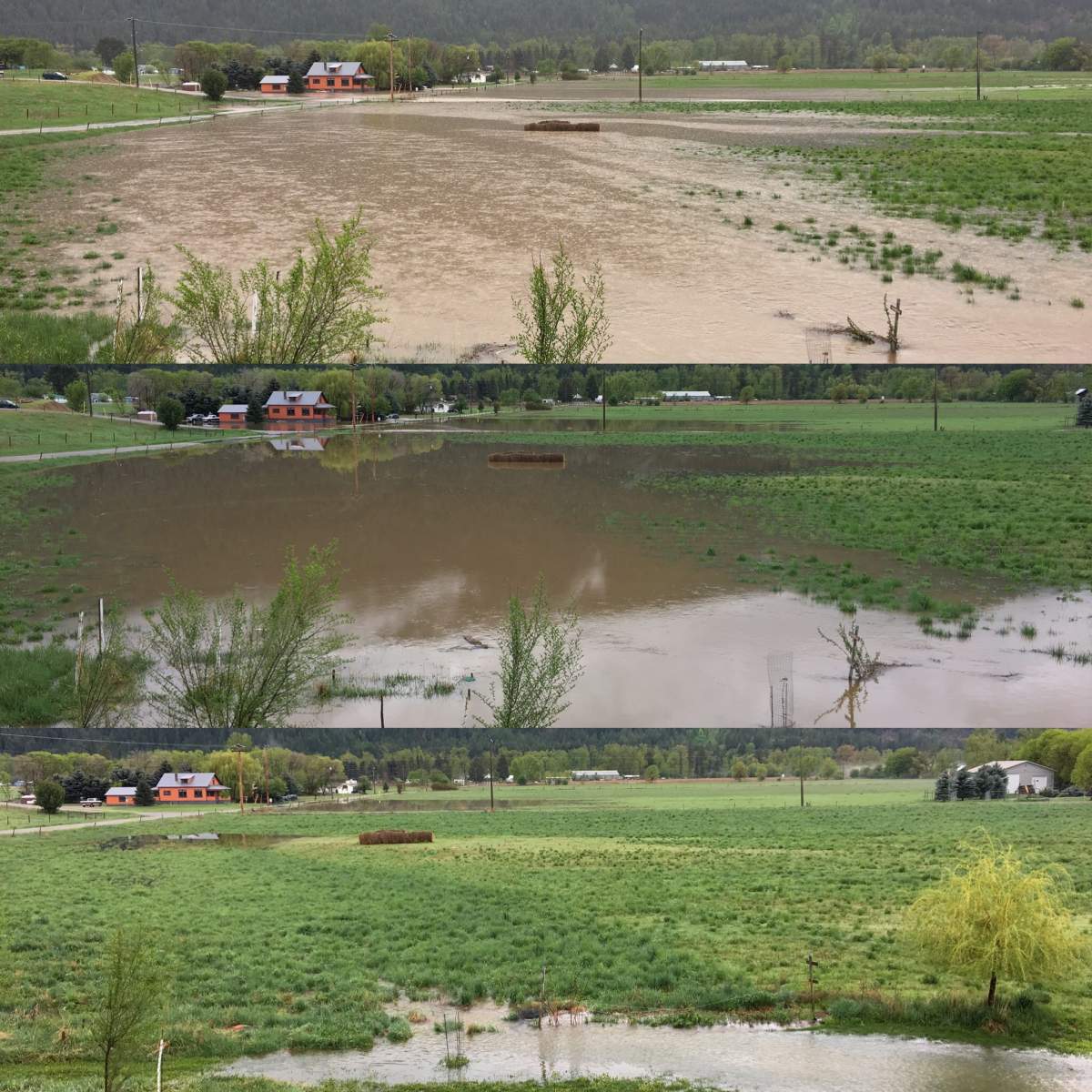
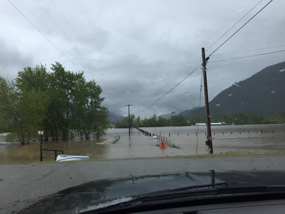
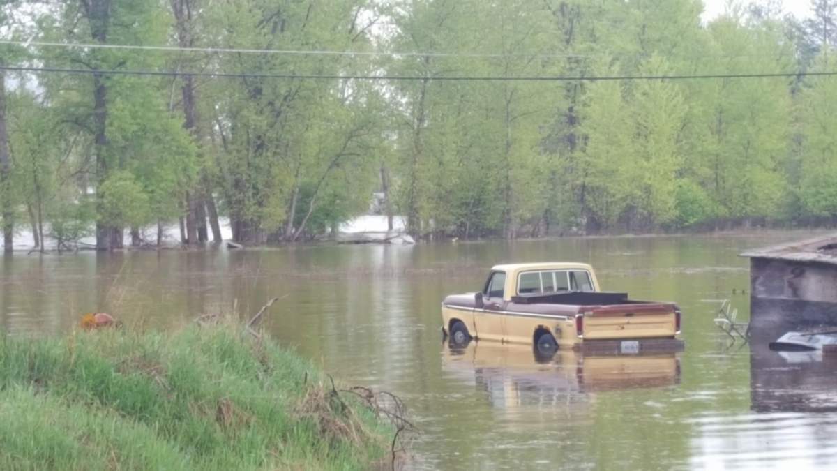
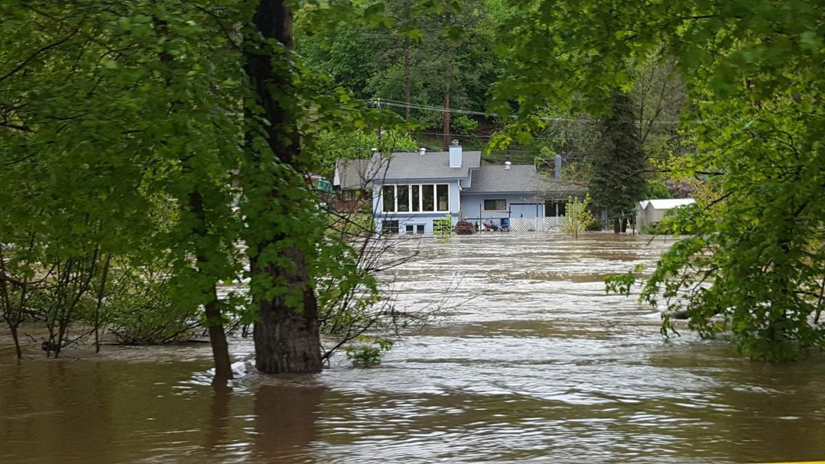
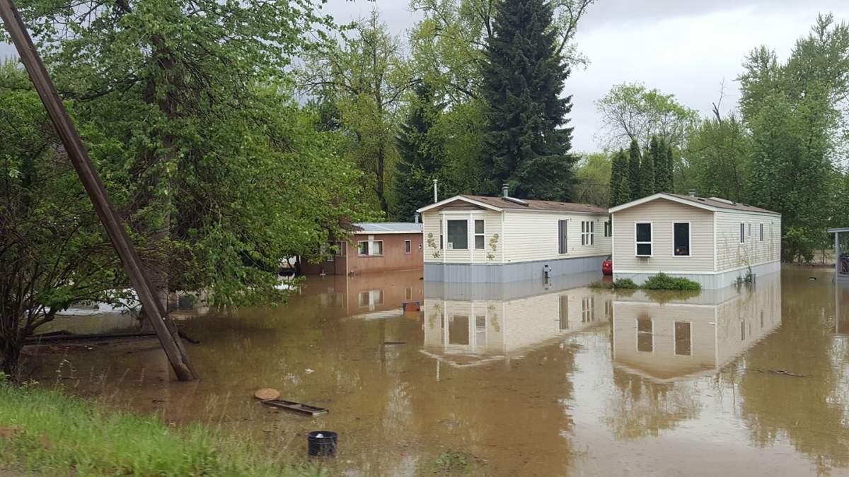
Some rivers in B.C.’s Kootenay Boundary region are rising rapidly, reaching the highest levels since 1948 and forcing thousands to be placed under evacuation orders.

The banks of the rivers are expected to peak on Thursday or Friday.
Virtually all properties in the West Kettle River, Kettle River, Granby River, Christina Creek and Christina Lake floodplain are on evacuation alert and will be ordered to leave their homes Thursday as water levels rise.
The Regional District of Kootenay Boundary issued an evacuation order Thursday morning for 1,192 people who live near the headwaters of the Grandby, Kettle and West Kettle Rivers.
Evacuees are being told to make their way to the Emergency Social Services Reception Centres in Midway and Grand Forks.
WATCH: State of emergency declared in Grand Forks and other parts of B.C. amid flooding and high water levels

So far 2,400 people are on evacuation order in the area.
READ MORE: Evacuation orders issued for nearly 2,800 people due to flooding in B.C.’s Boundary region
EVACUATION ORDER: Christina Lake, Ponderosa
EVACUATION ORDER –Johnson’s Flats, Edwards/Gilpin, Almond Gardens, Westbridge, Beaverdell
EVACUATION ORDER –Carmi, Granby, Kettle and West Kettle rivers

Get daily National news
EVACUATION ORDER with maps and addresses
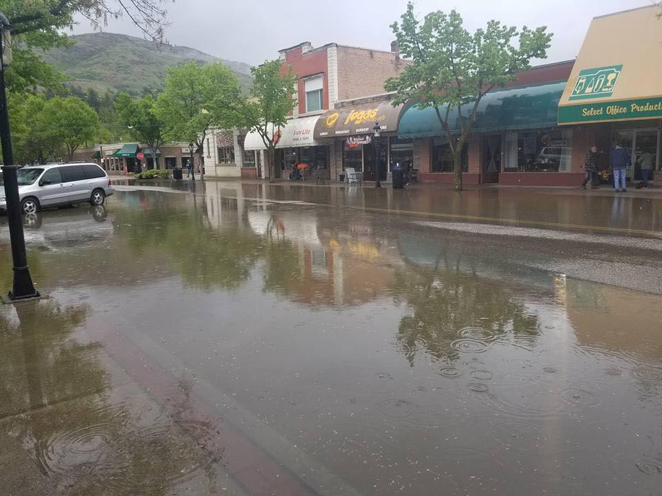
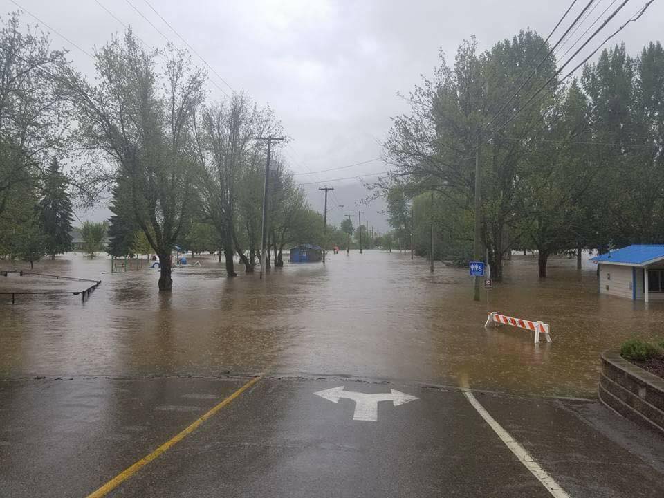
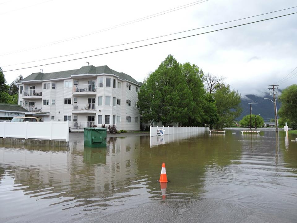
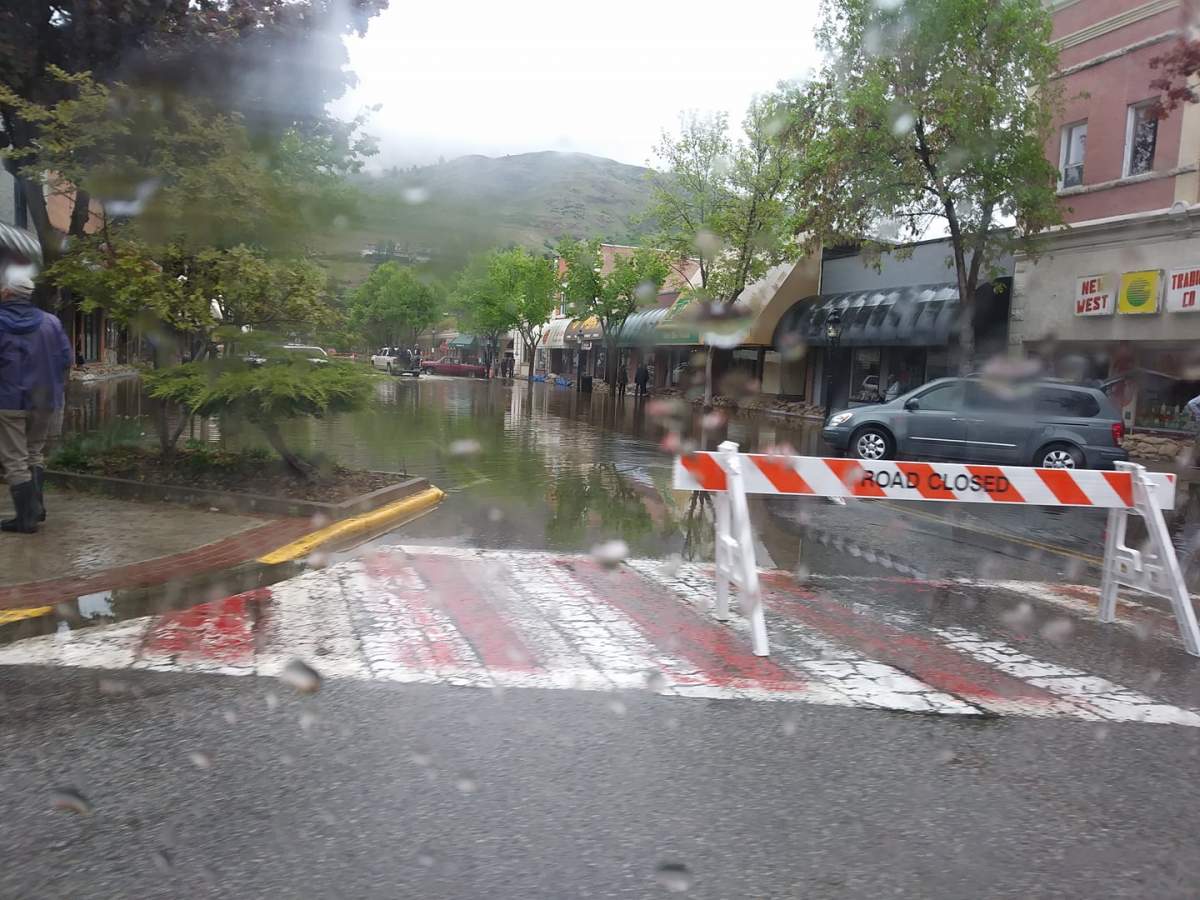
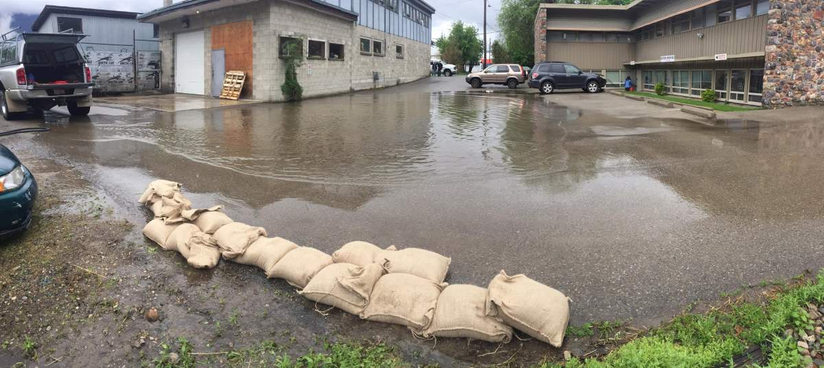
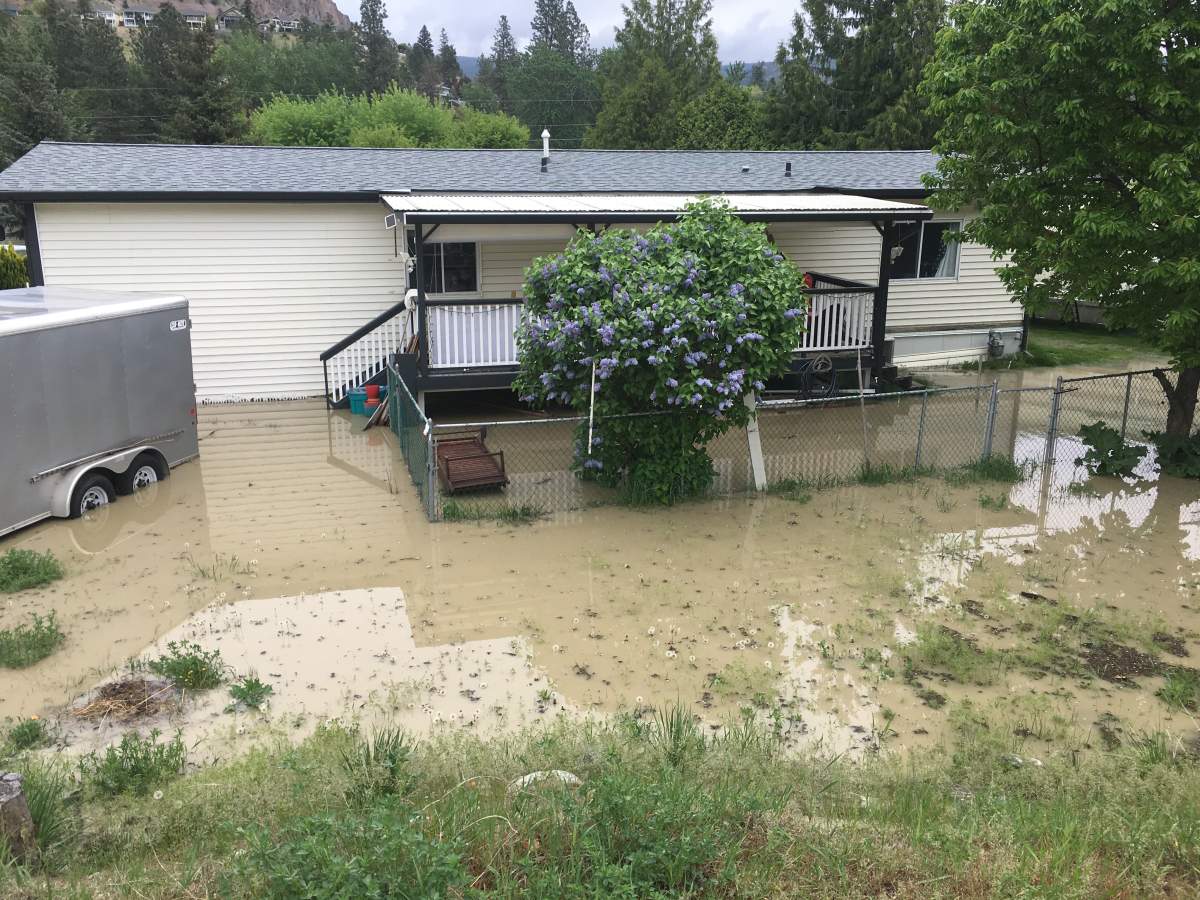
In Grand Forks, a state of emergency has been declared due to the flooding.
A floodplain-wide evacuation alert is already in place because as water levels peak, high water could cut off road access to many properties in the floodplain, even if individual homes may not be directly threatened by flooding.
Without overland access, emergency responders will be unable to reach residents and residents will be unable to reach emergency services.


Okanagan Falls
Residents of 54 Okanagan Falls properties have been told to leave their homes immediately so officials can do flood mitigation work along a local creek.
The Regional District of Okanagan-Similkameen (RDOS) issued the evacuation order at 11 a.m. on Thursday for residents on Brockie Place.


WATCH: Okanagan Falls properties evacuated due to flood threat

Similkameen Valley
The Similkameen River in B.C.’s southern interior has breached its banks and is flooding riverside properties.
The Lower Similkameen Indian Band reserves near Cawston have been under a state of emergency since Monday.
The only access to three of the band’s reserves is a small bridge which has been covered by flood water.
Chief Keith Crow said the Ministry of Transportation might close the bridge, which would mean that roughly 40 homes would have to be evacuated.
WATCH: The Similkameen River rages near Cawston

Joe Rich
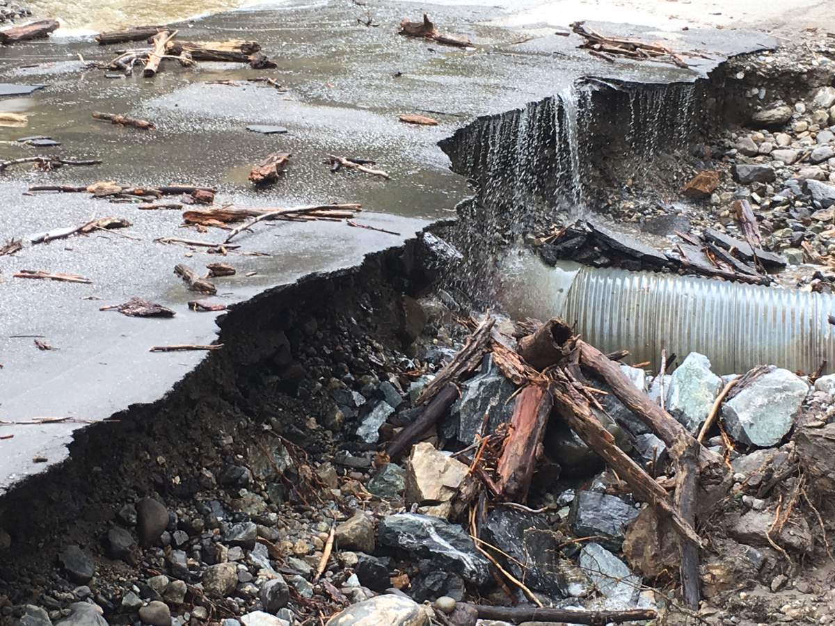
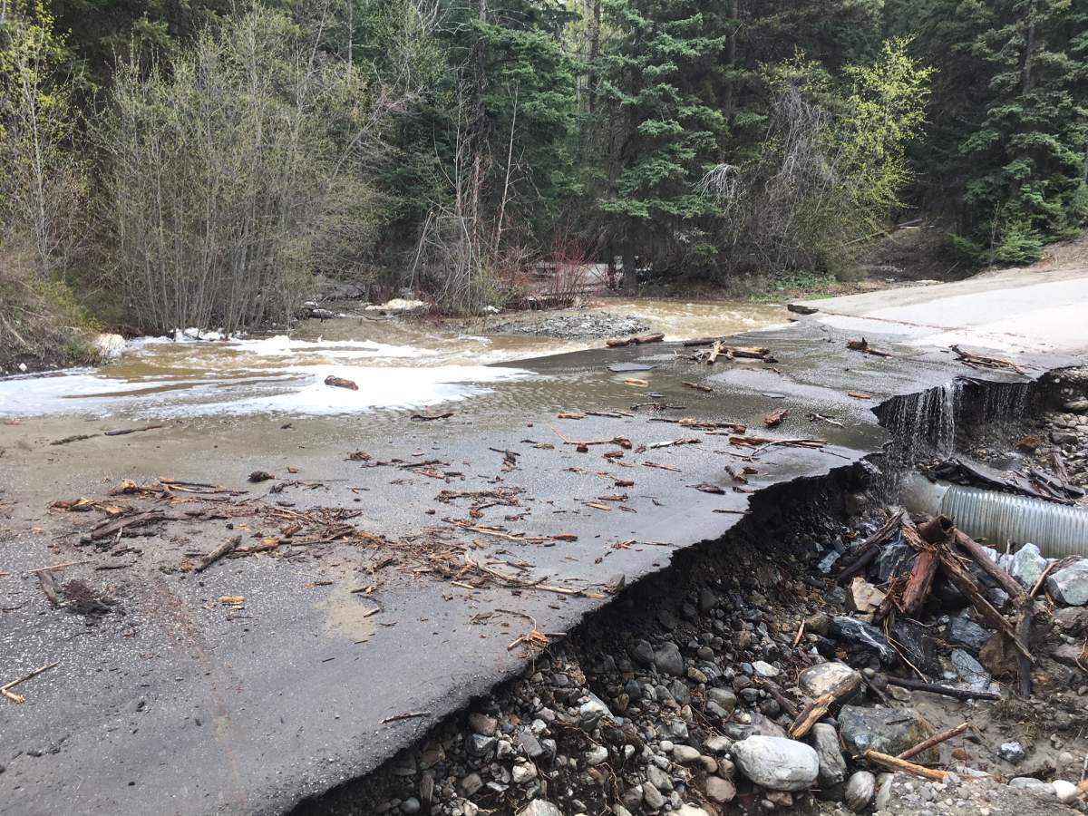
Two roads in the Joe Rich area east of Kelowna have been washed-out.
Goudie Road and Huckleberry Road were both closed Thursday morning due to the washouts.


Road closures
The Okanagan Shuswap / Highway 3 is closed in both directions, 14 kilometres west of Keremeos, due to the flooding. There is no estimated time of opening.
Highway 6EW is closed in both directions 33 kilometres west of Needles Ferry Dock due to a wash out.
Highway 8 is closed in both directions 10 kilometres west of Merritt city centre at 10 Mile Bridge due to a rapid increase in flood waters.
The Lytton Ferry is out of service due to high waters.
Comments
Want to discuss? Please read our Commenting Policy first.