-30 to -40 morning wind chills slide in along with record breaking cold.

Record Breaking Cold
Earth’s coldest temperature anomalies were recorded in Saskatchewan for the first week of April with the mercury dipping 10 to 20 degrees below normal across the province.
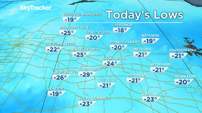
Friday, April 6, 2018 was the coldest in recorded history in Saskatoon with the mercury plunging back to -24.4 degrees, breaking our previous record of -20.0 from 1920.

It felt like -34 with wind chill in the city to start the day, but -39 is what it felt like in Rosetown – which was the coldest place in the province as thermometers fell back to -29 to start the day.
Most other sites in Saskatchewan shattered records as well Friday morning with more at stake to start the day on Saturday with temperatures expected to dive back into the -20s to break our previous record of -20.0 degrees from 1954.
Saskatoon Forecast
Friday
After reaching a record breaking -24.4 degrees to start the day with wind chills so cold skin could freeze in minutes, we managed to make it all the way up into the mid-minus teens before noon.

Get breaking National news
Wind chills stayed in the -20s right into the middle of the day as beautiful blue skies and sunshine stuck around with a breezy wind right through the morning.
Sunshine dominates the remainder of Friday with the mercury struggling to pop into minus single digits for an afternoon high.
Friday Night
The arctic high pressure system that kept us in the deep freeze on Friday sticks around into the evening, keeping us under clear skies and allowing temperatures to drop back into the -20s.
Saturday
Another record breaking morning hits Saskatoon on Saturday as the mercury dips back to around -23, shattering the previous record of -20.0 degrees from 1954 as wind chills dip back into the -30 to -40 range to start the day.

Lots of sunshine will once again be back to characterize the day with some high clouds rolling in later on as we rise up to an afternoon high a few degrees into minus single digits as clouds swing right back in during the evening.
Sunday
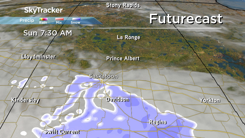
A system sliding by south of the region could kick up some snow early Sunday with heavier amounts expected south of the city, so check ahead with the Highway Hotline before heading out.
A breezy easterly wind will pick up during the day as well as we make it all the way up to a toasty daytime high in mid-minus single digits under mostly cloudy skies.

Work Week Outlook
The heat really starts to crank up into the work week with an upper ridge helping push afternoon highs up toward and eventually above the freezing mark by mid-week with some sunshine on Tuesday before clouds roll back in with a chance of snow on Wednesday.

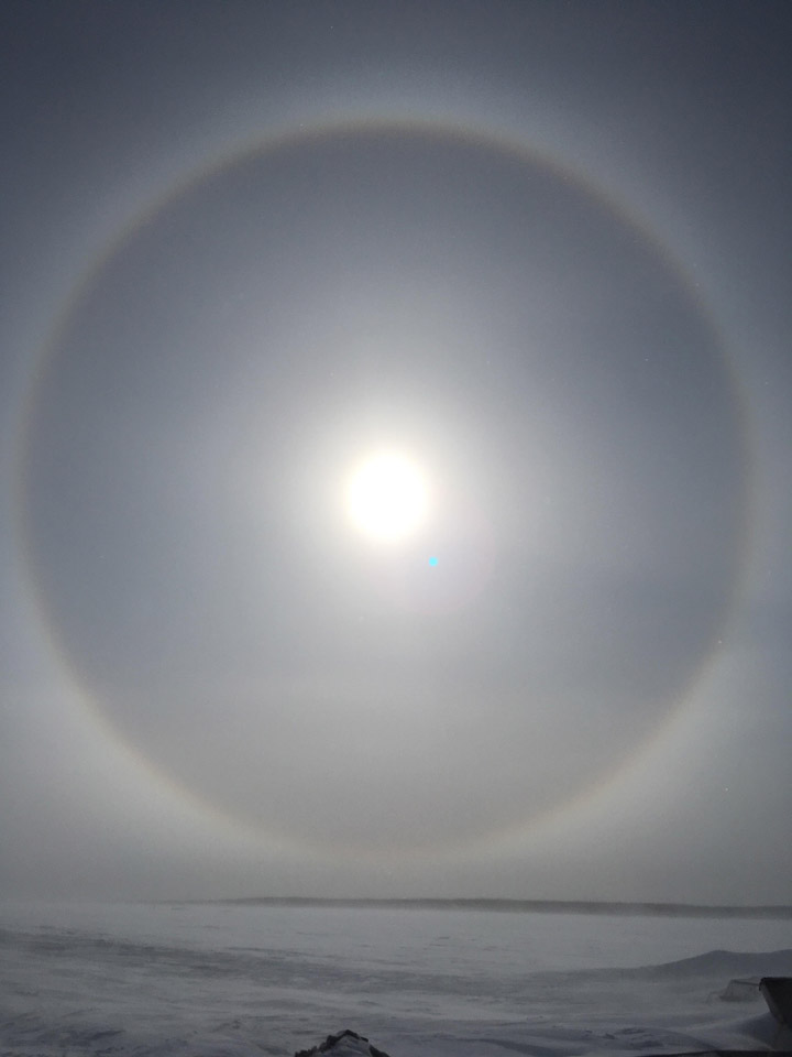
Fond-du-Lac was the setting for Stacy Gladue to take the Your Saskatchewan photo for April 6:
Saskatoon weather outlook is your source for Saskatoon’s most accurate forecast and is your one stop shop for all things weather for central and northern Saskatchewan with comprehensive, in depth analysis that you can only find here.


Comments
Want to discuss? Please read our Commenting Policy first.