


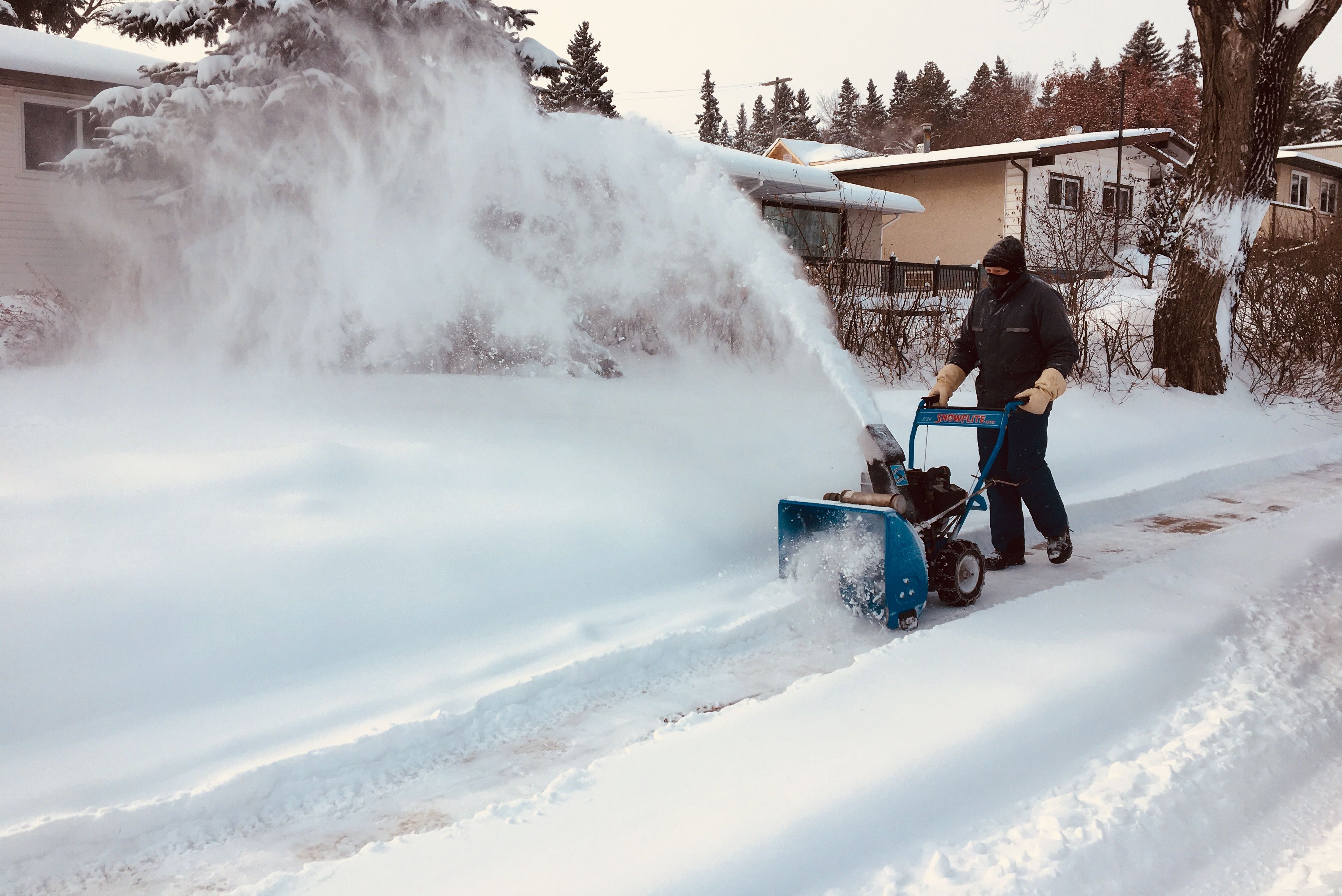
It’s been a cold start to February and Mother Nature isn’t letting up, below freezing temperatures continue along with snowfall warnings west of Calgary.

As of 3 p.m. Saturday, a snowfall warning was issued by Environment Canada for the city of Calgary.
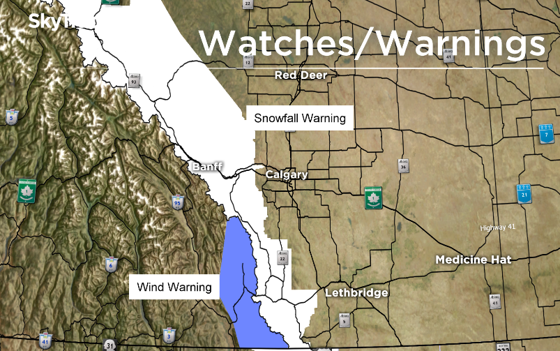
Environment Canada issued a snowfall warning earlier this morning throughout central and southern Alberta.
Conditions in some central Alberta areas, closer to Edmonton, improved around the lunch hour and some of the warnings were dropped. However, as of Sunday at 1:30 p.m., a snowfall warning remains in effect in Jasper National Park, Nordegg, Banff National Park, Kananaskis, Canmore, Crowsnest Pass, Pincher Creek and Waterton Lakes National Park.
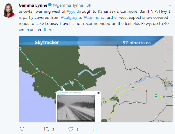
Most areas under the snowfall warning are expecting 20 to 30 centimeters of snow this weekend, but along Highway 93N, also known as the Icefields Parkway through Jasper and Banff National Parks, total amounts of 40 centimeters are possible.
511 Alberta reports highways are partly covered with snow and ice west of Calgary. Closer to Banff and Lake Louise, roads appear worse and are listed as snow-covered, especially on the TransCanada Highway and the Icefields Parkway. Travel along the Icefields Parkway is not recommended due to heavy snowfall, strong winds and poor visibility.


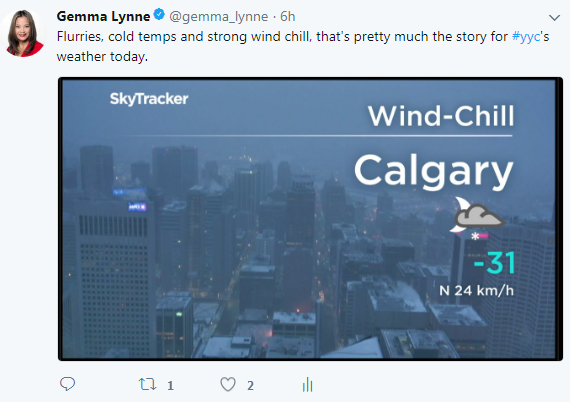
In Calgary, snow will continue this afternoon with a temperature steady near -20 C, but with a brisk north wind of 20 kilometres gusting to 40 kilometres per hour, it will feel more like the -30s all day. The snow will taper off this evening, but there is another round of precipitation heading our way late Sunday afternoon and evening.

The city of Calgary is expecting around 10 centimeters of snow by late Sunday night. So far today, Calgary has reached a temperature high of -18 C at the Calgary International Airport — well below the city’s average daytime high of -2 C.
Comments