
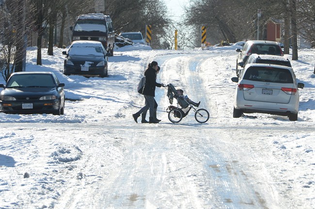
Parts of B.C. are on official snow watch this week after a long stretch of mostly dry weather.

Environment Canada has issued a special weather statement for many regions with snow likely in parts starting Tuesday and again on Thursday.
The following areas can expect to see snow, especially at higher elevations, starting Tuesday:
- East Vancouver Island
- Vancouver Island inland
- Greater Victoria
- Sunshine Coast
- Whistler
- Howe Sound
- Metro Vancouver
- Fraser Valley
- Southern Gulf Islands
Most of these areas can expect rain on Monday before a low-pressure system moves across northern Washington State and the B.C. south coast on Tuesday.
This means a mix of rain and snow will begin tonight but snowfall amounts will vary based on elevation.
The hardest hit areas will likely be east Vancouver Island and Victoria. Higher elevation passes like the Malahat and the Hump should see significant accumulations with at least five to 10 centimetres of snow expected.

Get breaking National news
Over the mainland south coast, not as much snow will accumulate but about five centimetres can be expected at higher elevations.
Howe Sound and Whistler will get closer to 10 centimetres on Tuesday.
Wednesday will be clear and cold before another Arctic front drops down from the B.C. Interior. This will mean temperatures will drop below zero for the rest of the week.


By Friday night, the lows will plummet to between -5 C and -10 C across the South Coast. Daytime highs on Saturday will struggle to reach the freezing mark, reports Environment Canada.


B.C. Interior
The B.c. Interior will be hit hard during this storm with significant snowfall expected.
A special weather statement is in effect for:
- Fraser Canyon
- South Thompson
- Nicola
- Similkameen
- Okanagan Valley
- Shuswap
- Arrow Lakes – Slocan Lake
- Boundary
- West Kootenay
- Kootenay Lake
- East Kootenay
- Elk Valley
- Chilcotin
Heavy snow will start Tuesday night and continue into Wednesday morning with amounts between 15 and 25 centimetres expected. The highest accumulation will be near the U.S. border.
Some regions in the Kootenays however may get more than 25 centimetres from this storm.
A break in the weather is forecast later Wednesday before an Arctic front sweeps through on Thursday. The Arctic front will bring a few flurries and, more noticeably, colder air to the southern interior for the rest of the week. Overnight lows will drop to between -10 C and -15 C; daytime maximums will be several degrees below zero.
-With files from Mark Madryga
Comments