
It’s going to be a cool week in southern Manitoba with more snow headed our way.

The low pressure system that was around Manitoba all weekend is leaving slowly to start our week. There are some lake effect flurries that will fall thanks to cool winds from the north but just as one system leaves, another shows up.
READ MORE: Winter weather forecast: What Canadians can expect from coast to coast

Get daily National news
Tuesday will be a mostly cloudy day. Generally, temperatures should get close to the freezing mark in the afternoon and kids heading out to trick or treat shouldn’t have to worry about any rain or snow. They’ll just be braving some cooler than normal conditions for this special occasion.
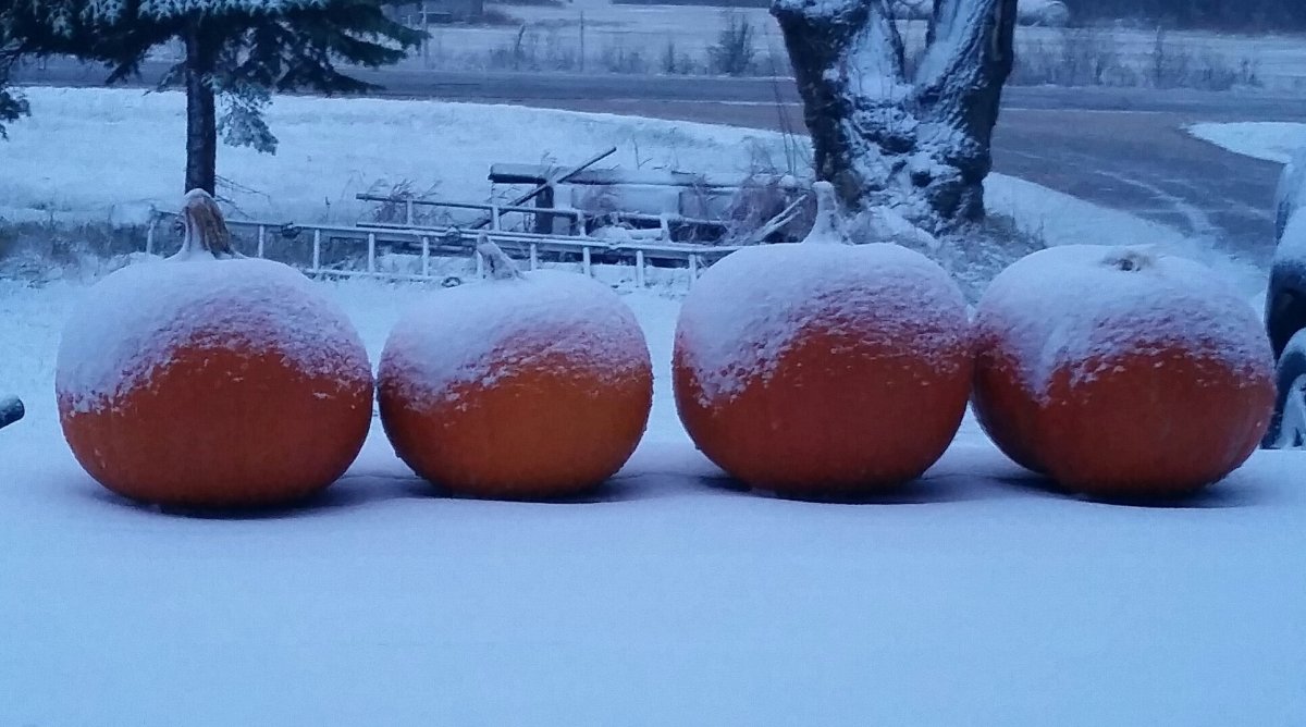
https://twitter.com/MikeKoncan/status/925051029732974593
Wednesday will be when the next low pressure system arrives. It’s making its way down the Rockies and will head along the international border. Snowfall amounts could be close to 10 cm for some areas and if we get a blanket of snow, we may not see grass again for some time as there isn’t much indication temperatures will warm up much from there.


RELATED: Wintery blast in Winnipeg sees 97 vehicles in crashes
Friday could actually be a really cool one for us.
It’s a bit further out but temperatures should rise slowly this weekend, however, that’s also when the next round of precipitation is expected.


Comments