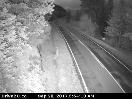
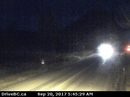
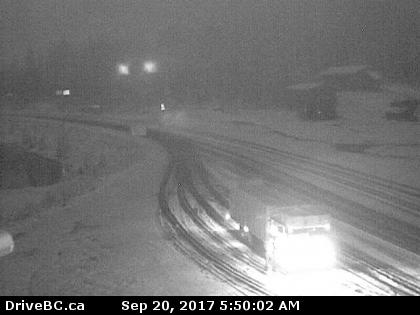
Snow is falling on some of B.C.’s interior highways Wednesday morning and more is expected to fall Wednesday and into Thursday.

This follows a special weather statement issued by Environment Canada for a number of regions.
Snow is expected to fall in high elevations in the following areas:
- Boundary
- East Columbia
- Kootenay Lake
- Nicola
- Okanagan Valley
- Shuswap
- West Columbia
- West Kootenay
WATCH: Is more snow on the way for parts of BC?

This warning is due to a cold air mass, combined with an upper low, that has temperatures to plummet this week, even compared to last week.
Light snow has been seen on the Okanagan Connector, Rogers Pass and Kootenay Pass the past few mornings this week.
With the cold air mass expected to stick around, Environment Canada says the threat of snow will continue Wednesday and into Thursday.

Get daily National news
The area hardest hit will most likely be the Kootenay Pass.


- Old Man Winter wallops B.C.’s Mainland/Southwest region, major highway closed
- Calgary hit by unexpected blast of spring snow, causing dozens of crashes
- False spring strikes again: Saskatchewan prepares for incoming winter weather
- Albertans’ interest in alternative forms of travel growing as fuel prices spike
WATCH: Parts of Oregon slammed with nine inches of snow Wednesday

Weather in the mountains can change suddenly resulting in hazardous driving conditions. Drivers are urged to check Drive BC for the latest updates.
Winter tires or chains are not yet mandatory on most B.C. highways yet but those rules do go into effect from Oct. 1 to March 31.


Comments
Want to discuss? Please read our Commenting Policy first.