
TORONTO – Internet giant Google is known for mapping some of the most remote and interesting locations of the world, from the Grand Canyon to the Everest Base Camp, but none quite as cold as the Canadian territory of Nunavut.

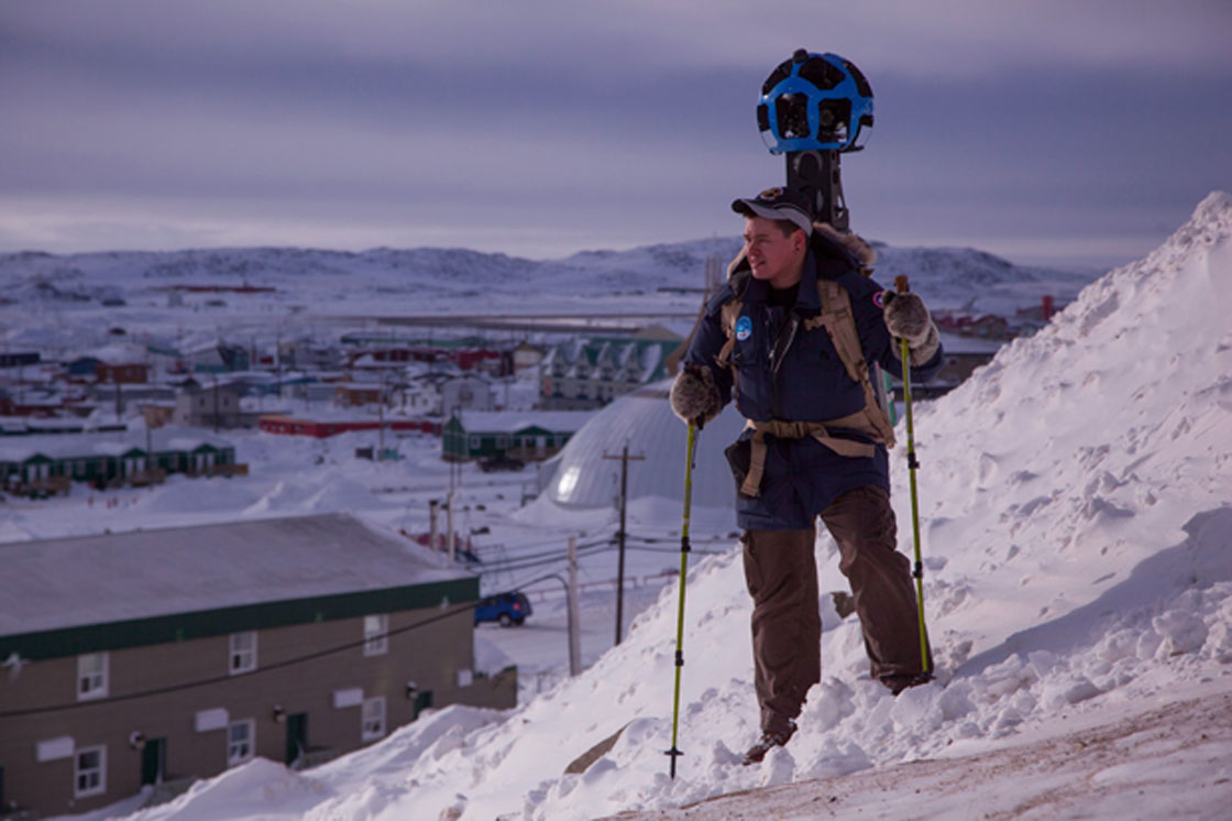
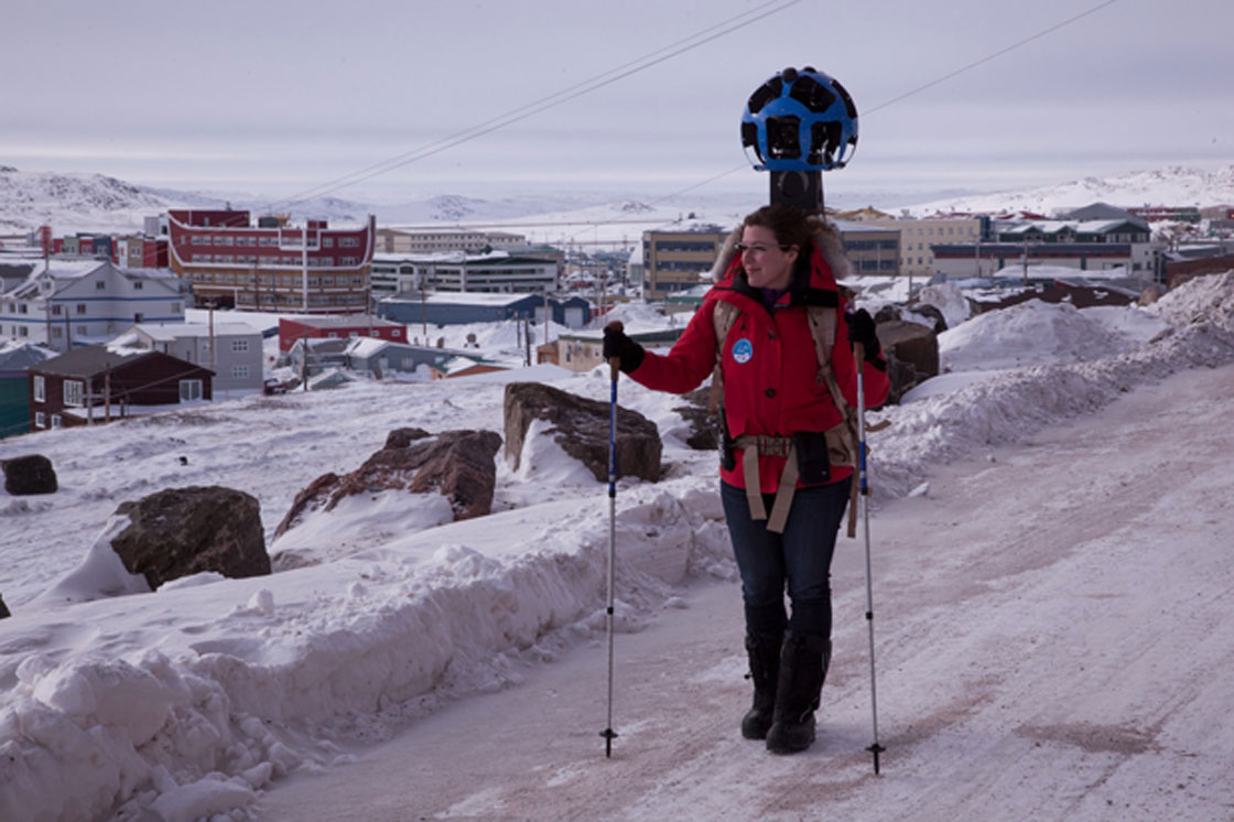
Despite the below freezing temperatures, the team has strapped on the company’s Trekker, a backpack-fitted camera designed for off-road mapping, and is walking the streets of Iqaluit in order to collect street view imagery for Google maps.
The crew is joined by local resident and mapping expert Chris Kalluk, in order to help the team navigate the snow and ice terrain and work with the community to capture the right images of the land to share with the rest of the world.
“There’s a saying we have in the north: unless you’re the lead sled dog, the view is pretty much the same,” said Kalluk in a blog post published Wednesday.
“I like to think of it as our chance to give you the lead sled dog’s view.”
Iqaluit is only the second Nunavut community to be mapped by Google.

Get daily National news
Imagery of Cambridge Bay, mapped by the company last August, was published in the fall – making this trip the first time a Google Maps team has traveled into an arctic climate in the winter months.
According to Kalluk’s blog post, average temperatures can dip below -30 C in the region.
“The roads are covered in snow, the bay is frozen and polar bear sightings are a frequent occurrence. Winter up here is a way of life. And the only way to truly understand it is to see it for yourself,” said Kalluk.
- Kelowna residents, business owners say Crime Severity Index not the full picture
- Saskatoon traffic having trouble getting around with construction throughout city
- Wildfire smoke blankets Kelowna, prompting health warnings and disrupting summer plans
- NDP calls for public inquiry into Ford government’s wildfire preparedness, response


Including the locals is a vital part to this project. Not only is Kalluk helping the team to navigate the area, but community members are helping bring life to the maps.
Community members, business owners, political leaders and high school students have all gathered to take part in “MapUp workshops,” hosted by the Google team.
These workshops show locals how to use Google Map Maker to add street names, shops and important places to the map in order to represent the most accurate image of Iqaluit possible.
“Nunavut is a place with a vast amount of local knowledge and a rich history. By putting modern day cartography tools into the hands of our people, we can improve the digital map of our home and effectively share Nunavut’s story with a global audience,” said Premier of Nunavut Eva Aariak.
But the project isn’t just about providing the rest of the world a glimpse into the frigid climate of Canada’s territories, it’s essential in creating jobs and economic growth according to Minister Leona Aglukkaq.
“By using these modern map making tools, the citizens of Iqaluit have an opportunity to literally put Canada’s north on the digital map of tomorrow,” said Aglukkaq.
Comments
Want to discuss? Please read our Commenting Policy first.