
You can now tour the International Space Station (ISS) without leaving the comfort of your own home thanks to Google Street View and European Space Agency astronaut Thomas Pesquet.

Google revealed Thursday the tech giant had “mapped” the ISS, marking the first time Street View has captured imagery beyond our planet.
Google noted in a blog post that it had to skip its traditional methods of collecting Street View images (like, a car for instance) and opted for using DSLR cameras and other equipment already on the space station.
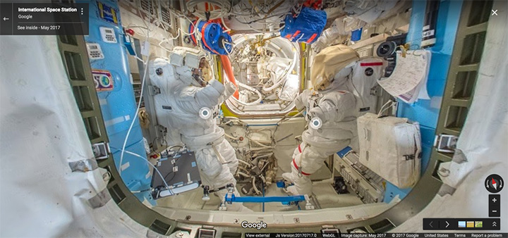
Working with NASA at the Johnson Space Center in Houston, Texas, and Marshall Space Flight Center in Huntsville, Ala., Google tasked Pesquet with capturing the 15 connect modules that make up the ISS.
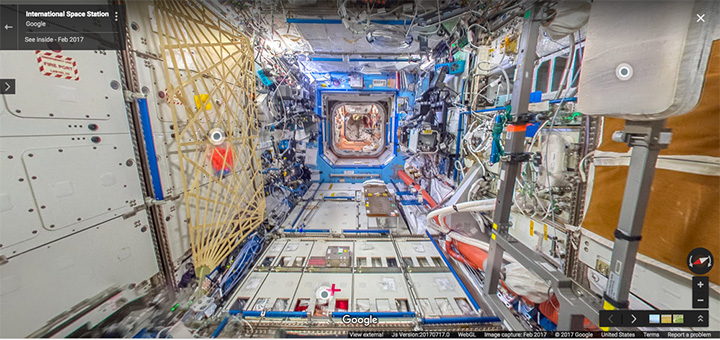
“Then I collected still photos in space, that were sent down to Earth where they were stitched together to create panoramic 360-degree imagery of the ISS,” the astronaut noted in a blog post. “We did a lot of troubleshooting before collecting the final imagery that you see today in Street View. The ISS has technical equipment on all surfaces, with lots of cables and a complicated layout with modules shooting off in all directions—left, right, up, down.”
- Lawful access bill could lead to exit from Canada, major VPN provider says
- Manitoba could have commissioner enforce planned social media ban for kids: Kinew
- Vancouver mayor clarifies ’11 AI agents’ used to do work is strictly personal
- Ottawa spent more than $800M on AI contracts over 3 years, data shows


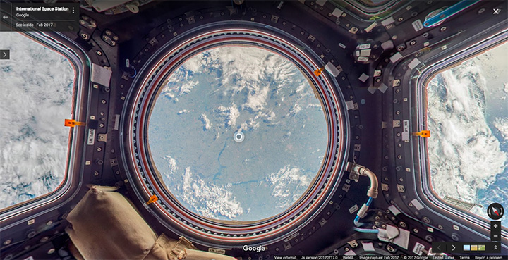
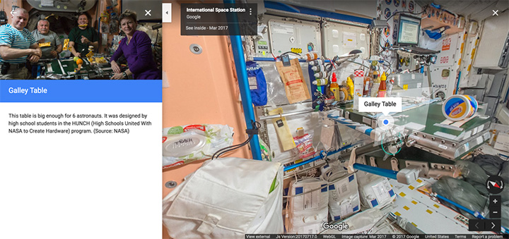
The ISS Street View allows users to click through the space station, which floats about 400 kilometres above Earth, and can read “fun facts” about the place astronauts have called home for nearly 16 years.

Get breaking National news
Pesquet noted there “are a lot of obstacles up there” so there was only a limited time to photograph the space station.
“Oh, and there’s that whole zero gravity thing,” Pesquet commented.
Comments
Want to discuss? Please read our Commenting Policy first.