

Smoky skies blanket Saskatoon as a cold front approaches.

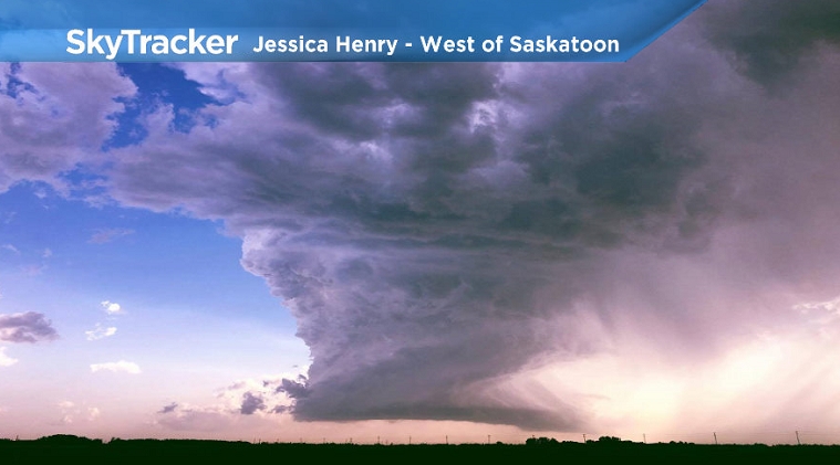
Sunday Storms
Tornado-warned thunderstorms rolled through the Saskatoon area on Sunday afternoon as a cold front swept across Saskatchewan.
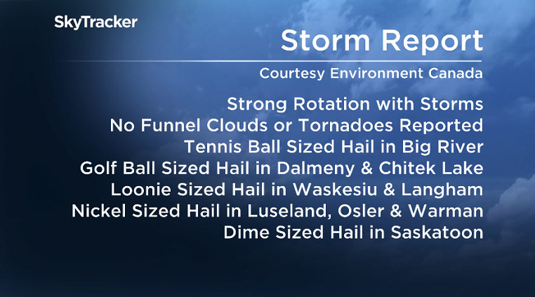
Several tornado warnings were issued in the Saskatoon area with strong rotation associated with these storms, but no funnel clouds or tornadoes were reported.

Get breaking National news
However, there were several large hail events recorded during the course of the afternoon including tennis ball-sized hail in Big River, golf ball-sized hail in Dalmeny and dime-sized hail in Saskatoon.
Special Air Quality Statement
Environment Canada has ended a special air quality statement for Saskatoon, but it remains in southern Saskatchewan.
High levels of air pollution have developed due to smoke from forest fires in B.C.

READ MORE: Special air quality statement issued for Saskatoon
Smoke plumes moving over portions of southern Saskatchewan from forest fires in B.C. have resulted in deteriorated air quality in the area.
For the latest weather alerts download the Global News Skytracker weather app for iPhone, iPad or Android.
Saskatoon Forecast
Today
Smoky skies started the day in Saskatoon with air quality values deteriorating to a 5 or moderate health risk to start the day with a special air quality statement in effect for B.C. wildfire smoke.


Temperatures dipped back to 7 degrees overnight before a breezy westerly wind kicked in with gusts upwards of 48 km/h and we warmed up into the 20s by late morning under partly cloudy skies.
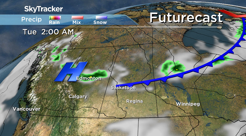
Winds will remain brisk with gusts upwards of 60 km/h for the rest of the day as we warm up only a few degrees further into the 20s with a few more clouds moving in as a cold front approaches.
Tonight
Winds will ease back this evening with clouds building in and a chance of showers overnight as we catch the tail end of a cold front and cool down a degree or so into single digits.
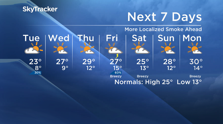
Tuesday
We may see a few lingering clouds to start the day on Tuesday before some sunny breaks in the morning with clouds returning midday and a chance of late day showers and risk of a thunderstorm.
We may see some lingering smoke, however the passage of that cold front should help stir up the atmosphere a bit as we warm up to a daytime high around 23 degrees.
Wednesday-Friday
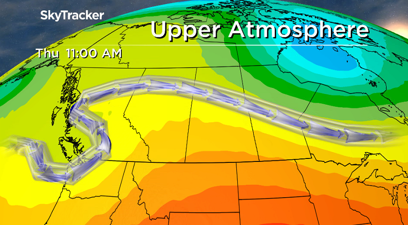
Smoke may make a return later this week as a westerly flow aloft channels in air from British Columbia where the wildfires continue to rage.
Mostly sunny skies look to dominate Wednesday and Thursday with daytime highs around 27 to 29 degrees through Friday when a system slides through with a risk of showers and thunderstorms.
Weekend Outlook
Conditions will likely remain a bit cooler on Saturday behind the system with some lingering clouds and a daytime high back into the mid 20s before we warm back into the high 20s Sunday under mostly sunny skies as an upper ridge rebuilds.
John Eagle took this Your Saskatchewan photo at Brightsand Lake:

Saskatoon weather outlook is your source for Saskatoon’s most accurate forecast and is your one stop shop for all things weather for central and northern Saskatchewan with comprehensive, in-depth analysis that you can only find here.
Comments
Want to discuss? Please read our Commenting Policy first.