


The polar vortex pushes out, but there’s another shot of arctic air on the way!

Saskatoon Forecast
Today
Very light snow and mostly cloudy skies moved in overnight into the early morning, helping hold temperatures in the low minus teens with wind chills in the mid-minus 20s to start the day.
We did warm up to the mid-minus teens by mid-morning with moderate northwesterly winds kicking in at sustained speeds into the 30 to 40 km/h range with gusts upwards of 50 to 60 km/h into the afternoon.
Those winds along with partly to mostly cloudy skies with a chance of light snow will continue for the rest of the day with temperatures sitting in the mid-minus teens and wind chills in the mid-minus 20s.

Get daily National news
Tonight
Partly to mostly cloudy skies will stick around tonight along with a slight chance of light flurries as winds ease and the mercury dips back to around -24 or -25 overnight, depending how much clearing we see.
Wednesday
The mid-minus 30s is what it’ll feel like with wind chill tomorrow morning when you head out the door.
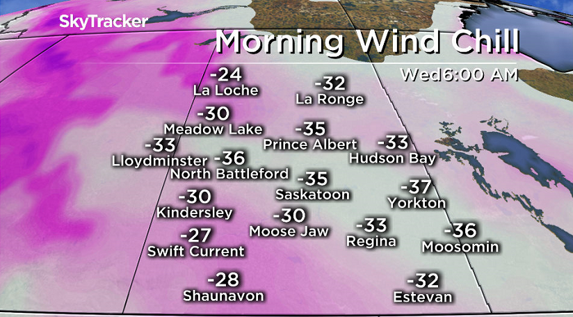
Mostly sunny skies will start off the day with a few more clouds moving in later on, helping temperatures to rise up a few degrees into the minus teens by afternoon.
The polar vortex, the bulge of arctic air in the upper atmosphere that normally sits over the North Pole will move out tomorrow, but with wind chill it will feel like the low -20s or -30s all day.


Thursday-Friday
Thursday may be a touch warmer as some more clouds move in with a daytime high around -17 or so before arctic air pushes back in aloft on Friday.
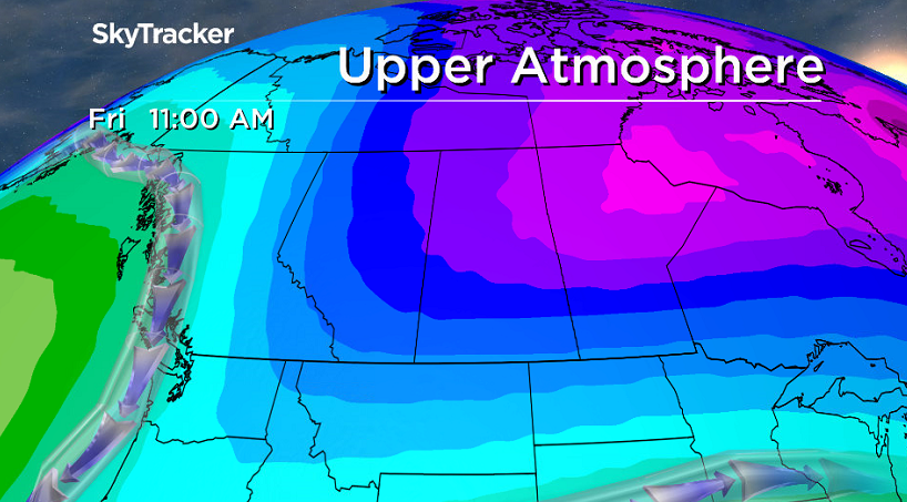
That’ll push temperatures back into the -20s all day, but will also bring back more sunshine through the day.
Weekend Outlook
The core of the arctic air will swing through into early Saturday, likely pushing the mercury down into the -30s in the morning with wind chill values making it feel around the -40s.
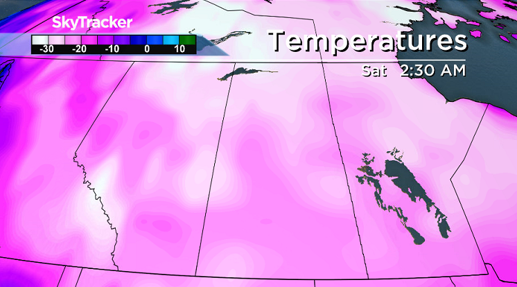
That’ll be the coldest temperature Saskatoon has seen all season, only the third time the city has dropped into the -30s in 2016!
Mostly sunny skies should stick around all day with an afternoon high stuck in the mid-minus 20s.
Then on Sunday some more clouds are likely to build in as some warmer air presses in, pushing the mercury back up into the mid-minus teens before likely topping out in minus single digits early next week.
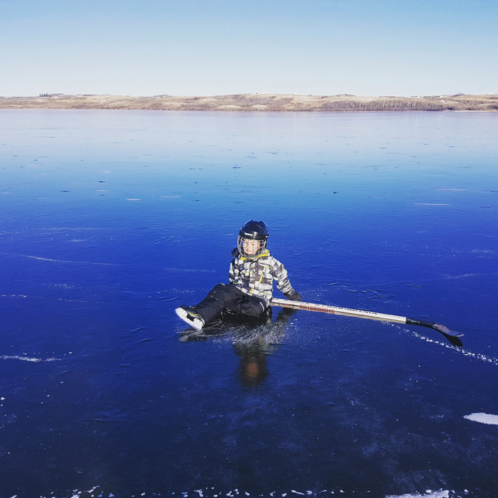
This Your Saskatchewan photo was taken by Gina Rea at Murray Lake:
READ MORE: Get a 2017 Your Saskatchewan calendar today
Saskatoon weather outlook is your one stop shop for all things weather for Saskatoon, central and northern Saskatchewan with a comprehensive look at your local forecast that you can only find here.


Comments
Want to discuss? Please read our Commenting Policy first.