
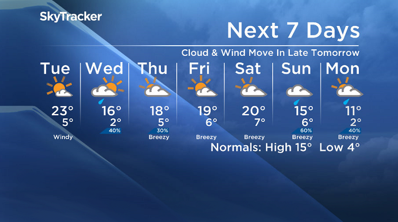
We’ll be back in the 20s tomorrow before a cold front slides through!

Saskatoon Forecast
Today
After an above freezing first weekend of fall, the mercury fell below zero this morning, down to -0.6 degrees to start under clear skies.
Temperatures quickly recovered back up to 16 degrees by noon, which is pretty impressive – especially given that Saskatoon’s normal daytime high at this time of the year is 15 degrees!
Mostly sunny skies under this building ridge of high pressure are expected to continue for the rest of the day as the mercury pushes up into the high teens, possibly even hitting the low 20s later today.

Get daily National news
Tonight
Temperatures will fall back to around 5 degrees under predominantly clear skies tonight.
Tuesday
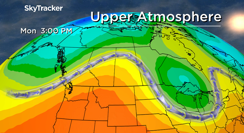
The heat continues to funnel in as the upper ridge continues to build over us tomorrow.
The city’s warmest day in over a week is expected with the mercury climbing into the high teens by noon and then topping out in the low 20s in the afternoon.
Mostly sunny skies are expected through the day with just some high clouds possible at times.
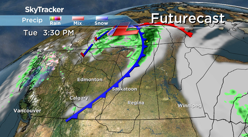
Winds will start off from the south-southeast up to around 20 km/h during most of the day until in late afternoon/early in the evening when a cold front moves through, kicking up winds to 30 gusting to 40 km/h from the northwest.


That front will bring in some late day cloud cover that’ll linger into the evening, but is expected to be a dry front with no precipitation for the Saskatoon area.
Wednesday-Friday
Cooler air continues to sink in with a high in the mid-teens under increasing cloudiness and a chance of late day showers on Wednesday.
It looks like we’ll warm up a bit further into the teens for Thursday under mostly to partly cloudy skies with a slight chance of showers.
Then Friday we’ll start to see a bit more sunshine as the upper ridge starts building back in with a daytime high pushing up even more into the high teens, possibly even reaching the low 20s.
Weekend Outlook
Saturday is shaping up to be the warmer of the two days for the weekend under partly to mostly cloudy skies before a cooler Sunday as the upper ridge starts to break down and a low pressure system swings through, bringing in a chance of rain and daytime highs back into the mid-teens.
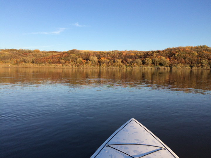
This Your Saskatchewan photo was taken by Sherry Kostiuk near Langham:
Saskatoon weather outlook is your one stop shop for all things weather for Saskatoon, central and northern Saskatchewan with a comprehensive look at your local forecast that you can only find here.
Comments
Want to discuss? Please read our Commenting Policy first.