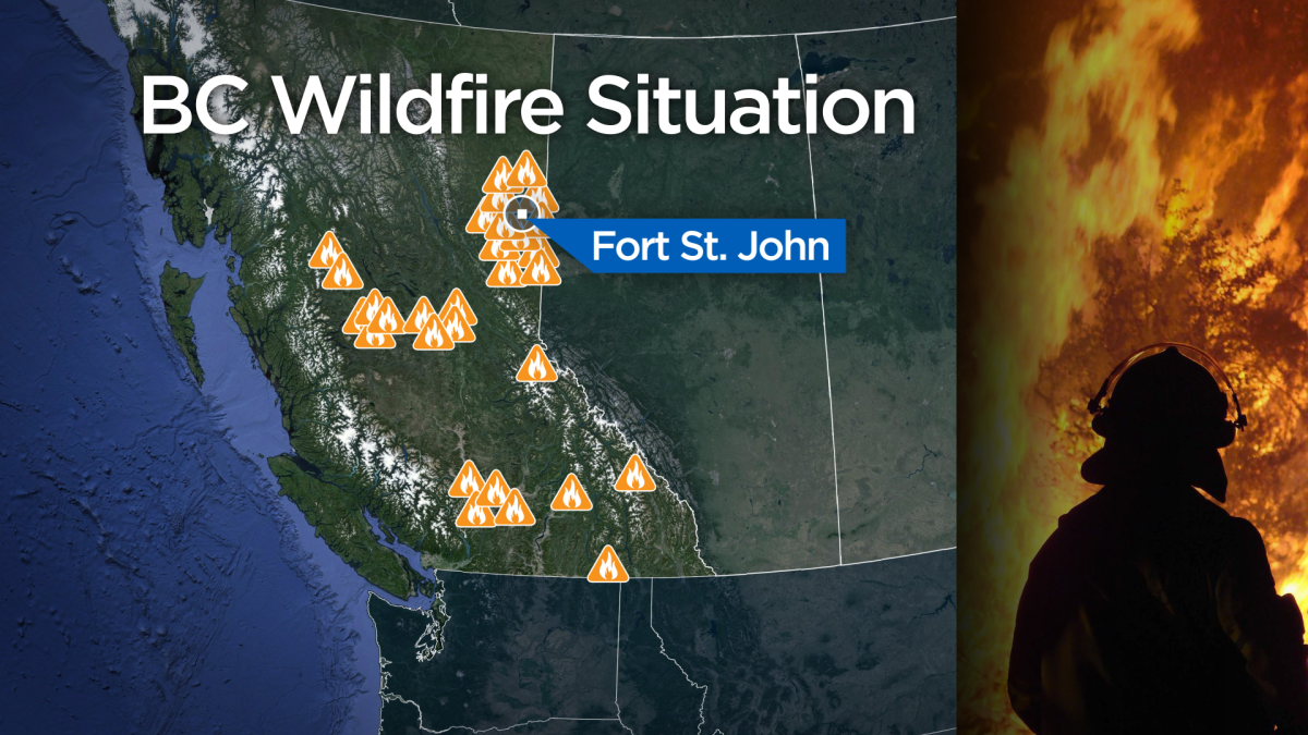
Several wildfires are burning in Northern British Columbia at a time when much of the province is experiencing higher than normal temperatures.

A state of emergency has been declared in parts of northern B.C., where a number of wildfires have burned buildings, forced residents from their homes and closed roads.
There are 131 fires burning across B.C., most of them in the Peace River district.
The district says a large area, including Fort St. John and the District of Taylor, has been placed under a state of emergency because there is danger to people and property in the area.
Const. Josh Swanback of the Fort St. John RCMP said a number of homes in the area have been evacuated because of three large fires.

Get daily National news
One fire is burning near Baldonell, one near Charlie Lake on Highway 29, and one further north of Fort St. John on the Alaska Highway, he said.
On Tuesday, the district expanded an evacuation order to include the following areas of South Taylor Hill:
-Johnson Road
-Big Bam Road
-249 Road off Johnson Road
-249 Road off 230 Road
-Pingle Creek Road
-232 Road (Lythall Road)
-Travis Subdivision
-230 Road west of the Alaska Highway and east of the Alaska Highway to the junction of the 247 Road
-257 Road off of the 230 Road
-251 Road between 230 Road and 228 Road
-Addresses along the 228 Road from 66275 228 Road to 5482 228 Road
-Addresses along the 247 Road from 2578 247 Road to the 230 Road
An evacuation alert has also been issued for the area around Beatton Airport Road.
Residents under evacuation alert should be prepared to leave on short notice.
A post on the City of Fort St. John Facebook page says three structures have been lost to the fires.
WATCH: John Innes, Dean of Forestry at UBC, talks to BC1 about the early start to the wildfire season

DriveBC reports Highway 29 has been closed in both directions from Bear Flats to Halfway River Bridge because of a fire.
A command centre has been set up in the town of Taylor, southwest of Fort St. John.
The B.C. Wildfire Service says a 30-hectare blaze is burning west of Dayeezcha Mountain, located about 44 kilometres southeast of Burns Lake. A smaller fire is burning about 57 kilometres southeast of Burns Lake.
– With files from The Canadian Press


Comments