

The 17-hour shutdown of a single bridge near Nipigon, Ont., on Sunday and Monday also severed the only road link between Eastern and Western Canada.

The bridge is a bottleneck – there are no other roads in that area.
And it’s not the only one.
The Trans-Canada is the only road linking several regions in Northern Ontario, according to Ontario’s Transportation Ministry. From west to east, they are:
- About 24 km of Hwy 17 from the Manitoba Border to the intersection of Hwy 17 and Hwy 17A
- About 500m of Hwy 17 from Longbow Road to the intersection of Hwy 17 and Hwy 71
- River Bridge on Hwy 11/17, immediately south of the intersection of Hwy 11 and Hwy 17 (at Shabaqua)
- Several stretches of Hwy 11/17 between where the four-laning ends just west of Pass Lake to the intersection of Hwy 11 and Hwy 17 (at Nipigon River)
- The Wolf River Bridge on Hwy 11/17, about 36 km south of the intersection of Hwy 11 and Hwy 17 (at Nipigon River)
- The Black Sturgeon River Bridge on Hwy 11/17, about 20 km south of the intersection of Hwy 11 and Hwy 17 (at Nipigon River)
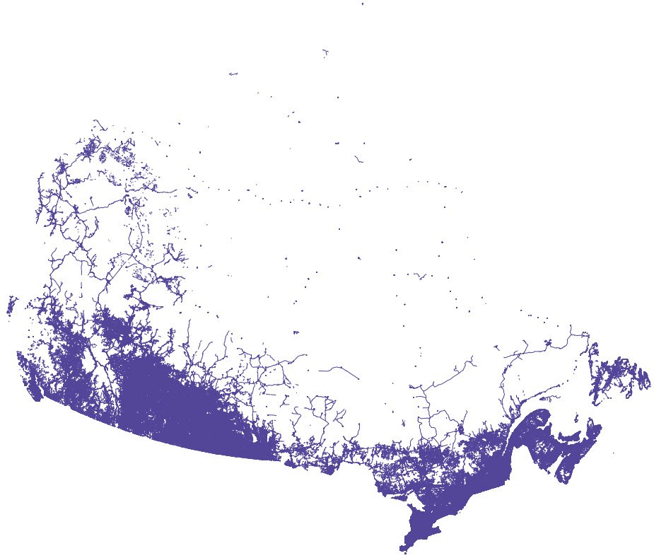
Similarly, if the Trans-Canada were to be blocked in much of central Newfoundland, there would be no way to drive from one side of the island to the other, according to federal government maps of Canada’s road network released through open data.
NDP MP Charlie Angus, who represents the Northern Ontario riding of Timmins-James Bay, says the lack of alternate routes through Northern Ontario is “crazy.”

Get daily National news
“These are the major transportation thoroughfares for the country and they’re often travelling on two-lane highways around all kinds of rock cuts with very icy conditions,” he said in a Skype interview from his home in Cobalt, Ontario, where he was stuck for the day because the highway was closed due to a snowstorm.
“If something gives out, you end up in a situation as we did with this Nipigon Bridge fiasco, which is really ridiculous. How is a G7 nation having to tell people to get their passports out and travel through the States in order to get from one part of even the province to the other, let alone one part of the country to the other?”
The map below shows the road network in part of Northern Ontario. Zoom in to the areas west of Kenora and near Nipigon (marked with green flags) to see some of the bottlenecks in the route.
Source: Open Data – Road Network Files 2015, Statistics Canada
Jean-Marc Picard, executive director of the Atlantic Provinces Trucking Association, said his office had “tons” of calls Monday from trucking companies wondering what to do about the Trans-Canada closure.
“We’re pretty dependent on the Trans-Canada,” he said. “If that was shut down for a couple of weeks, it would be quite significant to our logistics.”
If a community were cut off, he said, within days hospitals would start scrambling for medical supplies, among other potentially dire immediate impacts.
Less than two weeks ago, he said, a software error by a trucking company meant restaurants and bars in Moncton ran out of food and booze around New Year’s Eve.
“I don’t think people realize how vulnerable we are if something like that happens. Because we’re so dependent on our roads and on trucking.”
Angus would like to see more investment in northern infrastructure. “If we want to talk about stepping up, as the Wynne government has and Mr. Trudeau’s government has about building infrastructure, it’s not just building subways,” he said.
“Subways are important. But we need to make sure that these major thoroughfares, for freight but also for people, that they’re maintained and that they’re safe.”
The geography in Northern Ontario is “uniquely challenging,” wrote Bob Nichols, spokesperson for Ontario’s Ministry of Transportation in an emailed statement.
But he said they’re expanding the Nipigon River Bridge to make sure that this doesn’t happen again. The bridge, which was closed Sunday, is only half-complete. Two more lanes will be added, with each side functioning independently and creating some redundancy.
Transport Canada declined to comment on national road network choke points, saying that these fell under provincial jurisdiction. Global News asked Transport Minister Marc Garneau for comment and was referred to the Minister of Infrastructure, Amarjeet Sohi. We have not yet received a response.


Comments
Want to discuss? Please read our Commenting Policy first.