
Watch the video above: Global News weather reporter Nicole Mortillaro explains what was behind this morning’s messy commute in the Greater Toronto Area.

TORONTO – How was your commute this morning?
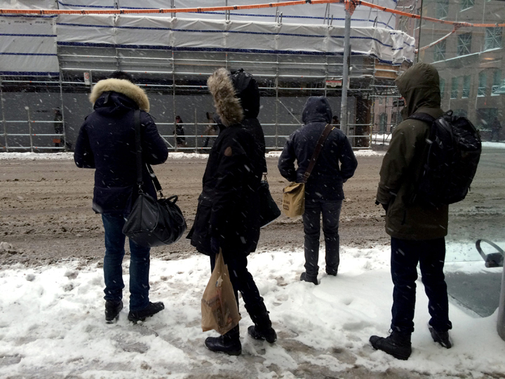
If you were anywhere in the Greater Toronto Area, you probably had a long one. And slippery one.
Why was it so hellish?
Well, it all started Tuesday, far off to the east.
A low pressure system that moved up the eastern seaboard of the United States, gained moisture. Strengthening, it dumped more than a foot of snow in New York and Vermont on Wednesday.
VIDEO GALLERY: Snow hits the GTA
In the Maritimes, the precipitation came as either rain or snow. In Bathurst, New Brunswick, 57 cm of snow fell. But in Moncton, where it was slightly warmer, people had to deal with rain, and a lot: 142 mm of it.

Get daily National news
READ MORE: Storm brings heavy rain and snow to the Maritimes
Nova Scotia battled the rain as well. In Halifax, residents had to deal with more than 100 mm of rain.

As the system moved west, the colder temperatures made all the difference
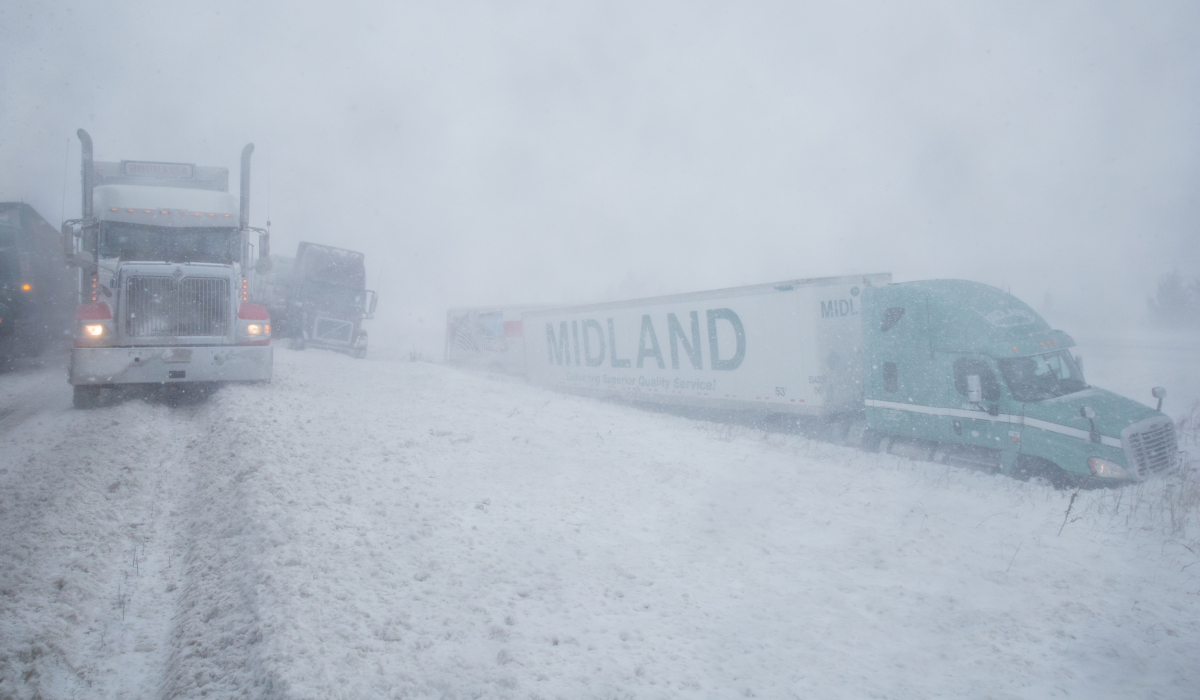
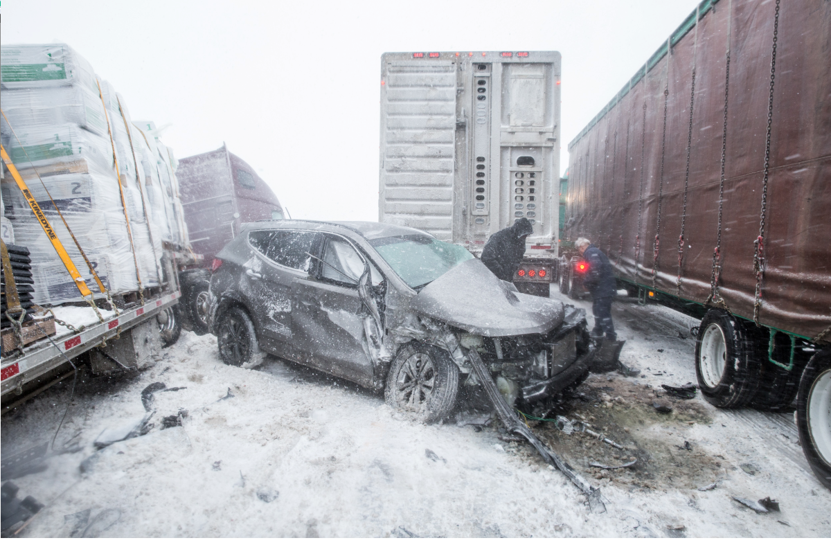
On Wednesday night, residents of eastern Ontario and Quebec were already battling the snow. Near Quebec City, there was a 20-car pileup on Highway 20.
GALLERY: Messy and dangerous commute for Quebec


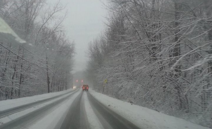
Overnight the system began to move into southern Ontario. By the early hours of Thursday — right in time for your commute — the system stretched from northern Quebec south into the northern part of the U.S.
As of 12:30 p.m., Environment Canada had reported about 10 to 22 cm of snow across the southern Ontario. It’s expected to taper off by later this evening.
There is good news, though. The snow is expected to taper off Thursday evening and we can expect to see some sunshine on Friday.
On the downside, winter still hasn’t begun.
-
![]() 12 youth injured after electrical issue at water park in Cultus Lake
12 youth injured after electrical issue at water park in Cultus Lake -
![]() ‘It’s all going to be OK’: Canada’s ambassador to US reassures ahead of CUSMA deadline
‘It’s all going to be OK’: Canada’s ambassador to US reassures ahead of CUSMA deadline -
![]() U.S. Coast Guard releases audio believed to have captured moment OceanGate’s Titan sub imploded
U.S. Coast Guard releases audio believed to have captured moment OceanGate’s Titan sub imploded -
![]() Saskatchewan Premier talks on European trade tour update
Saskatchewan Premier talks on European trade tour update


Comments
Want to discuss? Please read our Commenting Policy first.