
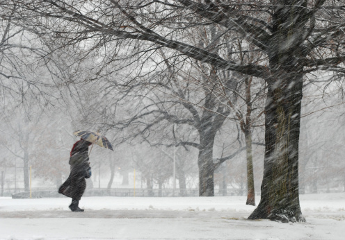
TORONTO – Parts of northern Ontario are under a combination of snow squall, snow fall and winter storm warnings for today.

Environment Canada says a major winter weather system is expected to produce between 15 to 35 centimetres of snow in certain regions by mid-day Wednesday.
The warnings are in effect for the following regions:
- Attawapiskat
- Chapleau – Gogama
- Geraldton – Manitouwadge – Hornepayne
- Kapuskasing – Hearst
- Moosonee – Fort Albany
- Sault Ste. Marie – Superior East
- Timmins – Cochrane
A winter storm in Timmins is expected to produce total snowfall amounts of 20 to 35 centimetres of snow by mid-day Wednesday.
Poor visibility is expected today on roads and will continue through to tomorrow.
Surfaces such as highways, roads, walkways and parking lots may become difficult to navigate due to accumulating snow and slick conditions. Visibility may be suddenly reduced at times in heavy snow.


Porter Airlines has issued a travel advisory for Sault Ste. Marie, Timmins, and Sudbury which may result in flight cancellations and delays.
Passengers are encouraged to check their flight status before heading to the airport.
Air Canada has also cancelled a number of flights into the region and are telling customers they can rebook online with no fees.
Comments