
TORONTO – As Japan recovers from one typhoon, another is on its doorstep.

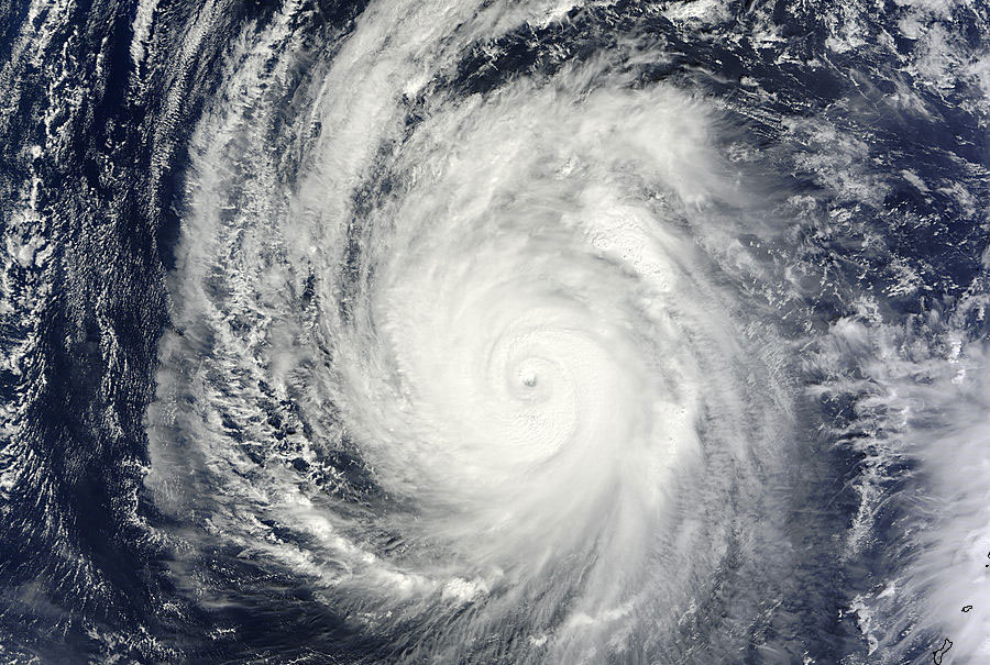
Typhoon Wipha struck the country just a week ago. Typhoon Francisco is now on its way to the island, packing sustained winds near 150 km/h with gusts of 222 km/h and is moving west-northwestward at 15 km/h.
Read more: Typhoon Francisco batters Japan islands
The storm is expected to make landfall near Tokyo Friday or Saturday as a category one typhoon.
Read more: Evacuation could have saved lives in Japan typhoon
As of Tuesday afternoon, the storm was about 530 km southwest of Okinawa, Japan.
The Japan Meteorological Agency has issued warnings and advisories for much of the eastern part of the country.
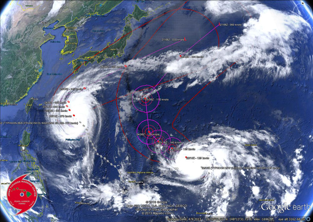
According to the Joint Typhoon Warning Center (JTWC), the storm is generating wave heights of up to 13.1 metres in the Northwestern Pacific Ocean.
Comments