
As coastal B.C. is rocked by heavy rain and winds this weekend, the province’s eastern highways will see a different kind of extreme weather.

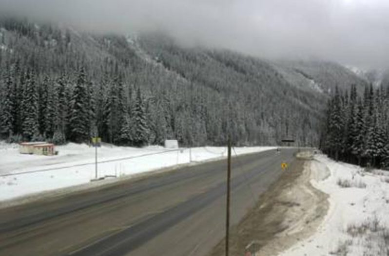
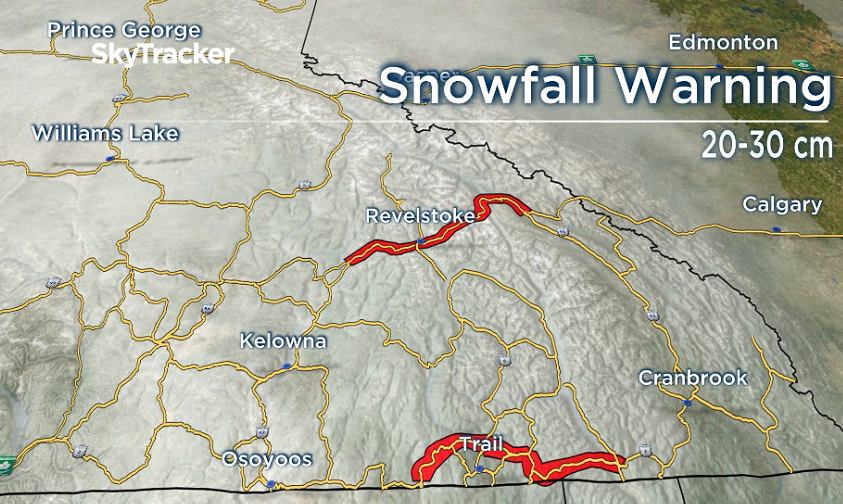
Environment Canada has issued a snowfall warning for Highway 1 between Eagles Pass and Rogers Pass, and Highway 3 between Paulson Summit and Kootenay Pass.
Both stretches are set to receive 10 to 15 centimetres of snow by Saturday night, with another 10 to 15 centimetres expected to fall by the end of Sunday.
In addition to the snowfall, Global BC weather specialist Kasia Bodurka says freezing rain could also hit the Highway 3 stretch early Sunday morning.
“Very messy out there,” Bodurka said.
“Drivers need to be cautious.”
Environment Canada is advising drivers that visibility will likely be reduced due to the snowfall, which will also make walkways and parking lots difficult to navigate.
Further west, the Coquihalla and Okanagan Connector could see light snow at higher elevations above 1,800 metres, which will change to rain overnight. Showers are expected to continue on those routes into Sunday.

Bodurka said the snow and rain are related to the atmospheric river that’s bringing between 50 and 100 millimetres of rain to parts of Vancouver Island, the coastal mainland and northeastern Metro Vancouver.
A hazardous winter storm warning has also been issued for the Watson Lake area that crosses the B.C.-Yukon border, bringing up to 25 centimetres of snow and freezing rain by Sunday afternoon.

Comments