


KELOWNA, BC — Environment Canada meteorologist Doug Lundquist in Kelowna calls them weather ‘spokes’ and says the first one will hit the Okanagan Tuesday afternoon.

Environment Canada issued a severe thunderstorm watch early Tuesday morning.
“We think there might be a potential for severe thunderstorms but it’s not a given,” says Lundquist.
He says the first ‘spoke’ will roll through the Okanagan at around 3 p.m. Tuesday bringing heavy rain – anywhere between 15-30 millimetres.

Get breaking National news
Environment Canada issued a heavy rainfall warning for Kelowna late Tuesday afternoon and the BC River Forecast Centre has issued a high streamflow advisory for the Central Interior.
Lundquist says the second ‘spoke’ will arrive by the weekend.
“We might see another downpour by Saturday.”
Lundquist says this is the beginning of the monsoon season for the Okanagan which traditionally begins in late May and ends in early July.
He says it will also be unseasonably cool through the end of next weekend with highs in the low teens. The normal highs are between 20-21.


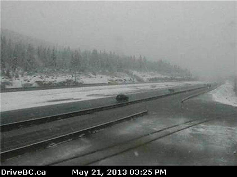
The unstable weather has also resulted in DriveBC issuing a travel advisory through the mountain passes because of snow.
There’s a travel advisory in effect due to heavy snowfall on Highway 5A at Aspen Grove to Pennask Summit.
There’s also a travel advisory for Highway 5 from Exit 202, Portia Interchange to Merritt.
DriveBC says both highways can receive up to 10 cm.
Send storm photos & videos: okanagan@globalnews.ca.


Comments
Want to discuss? Please read our Commenting Policy first.