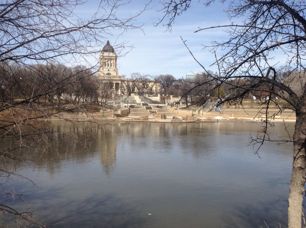
It’s finally nice enough to walk along the river, but residents of Winnipeg will not be able to for long, according to flood officials, who released Manitoba’s first flood bulletin of 2013 on Saturday afternoon.

The Red River walkway at The Forks is expected to be under water sometime Saturday as warm temperatures cause river levels to rise across the province. The water level at James Avenue was 6.7 feet James at 8 a.m. Saturday, having risen three feet since Friday. Officials expected it to rise an additional three feet over the next 24 hours.
The Red River water level at Fargo and Grand Forks, N.D., rose 4.2 feet and 4.1 feet respectively since Friday, and the river level at Emerson rose five feet since Friday afternoon, officials said.
The Manitoba Infrastructure and Transportation’s Hydrologic Forecast Centre issued high-water advisories for small rivers, creeks and drains in southeast and south-central Manitoba, saying high flows are expected. Water won’t necessarily flow over banks, according to the bulletin.
The bulletin said there are reports of sandbagging in the RM of Rhineland to protect two homes along Buffalo Creek near Rosenfeld.
On the Assiniboine River, the snow melt has been slower due to cooler temperatures in the west, according to flood forecasters.
Earlier in the day, the province closed Prairie Road 242 east of Westbourne due to water on the road and issued a caution for Provincial Road 350 south of MacGregor, also due to water on the road.
Comments