
Large parts of Alberta were placed under weather alerts Wednesday evening. Environment Canada issued the warnings and advisories shortly before 4:00 p.m Wednesday warning of freezing rain and foggy conditions across the province.

And the warnings delivered.
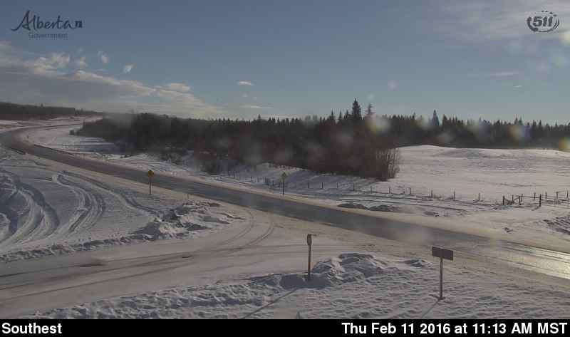
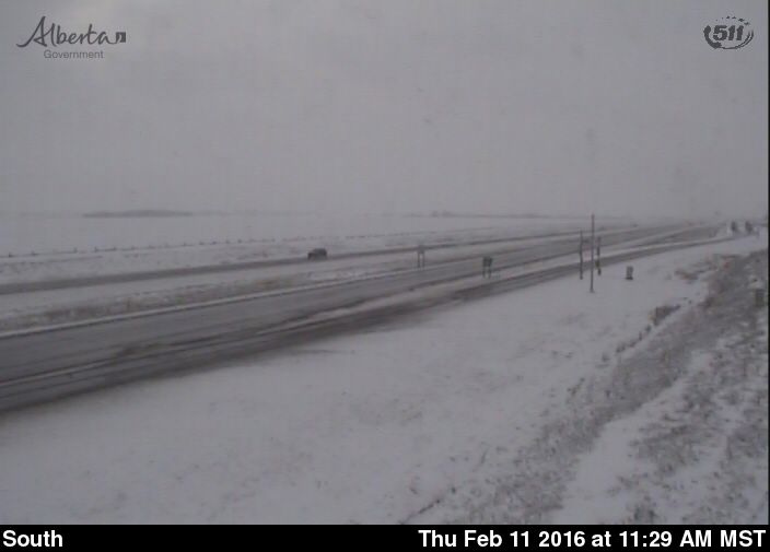
Slick roads were then covered by snow – a dangerous combination for highway conditions. As of 11:30 a.m. Thursday, the Alberta 511 website was reporting partly covered highway conditions for Highway 16 west of Edson, and for areas of Highway 2 south of Leduc.


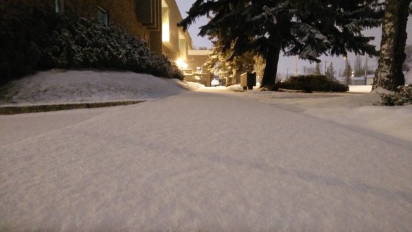
Freezing rain warnings were dropped by Thursday morning, but light snowfall continued through areas near Edmonton. Five to seven cm of snowfall was reported from the overnight event, and an additional dusting could be expected through Thursday afternoon.
Looking forward to the weekend, mostly cloudy skies and scattered flurries are expected for Friday as strong south east winds produce gusts of up to 50 km/h.
Late Friday night and into Saturday morning, another 2-5 cm of snow could fall around the Capital Region. West winds could also produce gusts of up to 40 km/h.
Up until Wednesday afternoon, Edmonton had received no precipitation in the month of February. On average, Edmonton would receive about 13.4 cm of snow by the end of the month.
*EDITOR’S NOTE: This article was originally posted on Feb. 10 and was updated Feb. 11 when the warnings/advisories were lifted.
- Calgary balances risk of drought and flood but things ‘trending in the right direction’
- First glimpse of Calgary event centre renderings expected this July
- A month’s worth of rainfall in 48 hours expected in some parts of Alberta
- Calgary’s RC-G rezoning public hearing wrapped up on Monday. What’s next?
Comments