
As warm spring temperatures continues to persist throughout the Southern Interior, Environment Canada has issued a severe thunderstorm watch for several areas in the Kootenay region.

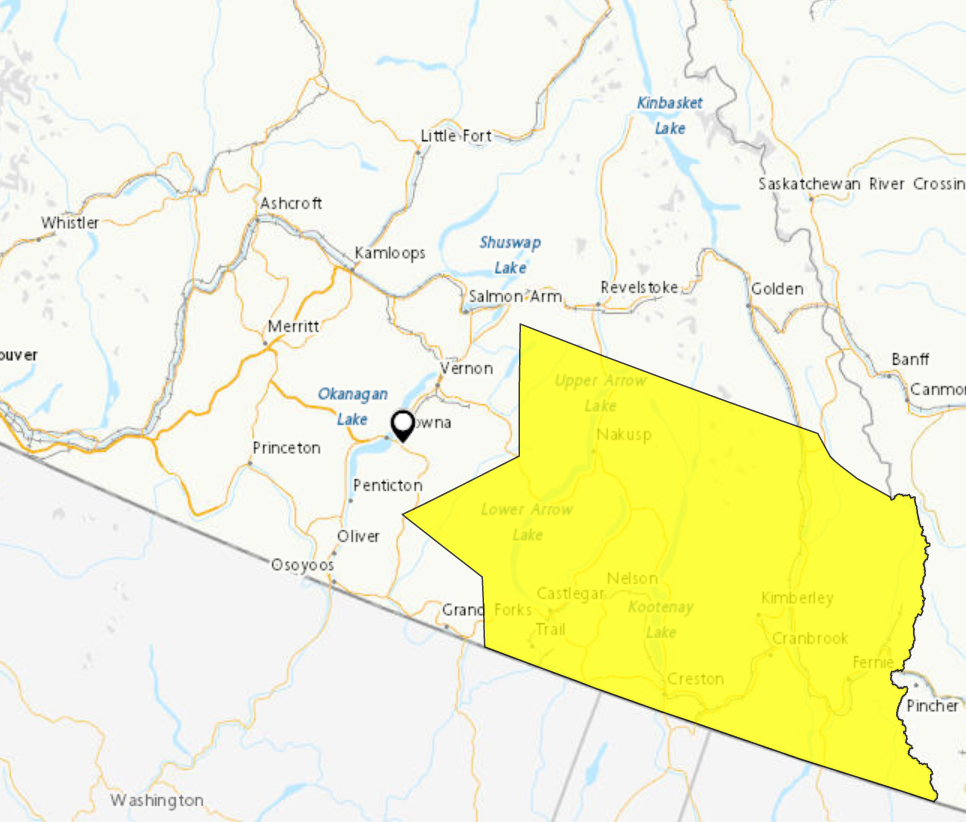
The watch is in effect for Elk Valley, Arrow Lakes, Slocan Lake and the East and West Kootenay region including Kootenay Lake.
According to the weather agency, atmospheric conditions in these areas have the potential to develop severe thunderstorms, and that brings the risk of strong wind gusts, heavy rainfall and even large hail.
While a thunderstorm could create the possibility of heavy rain, some areas that receive little or no precipitation could be at a greater risk of a wildfire caused by lightning.

Get daily National news
“The risk would be whether or not any lightning that we receive comes with an adequate amount of precipitation to go with it. Typically when you have dry lightning you can have more potential to see wildfires pop up,” said BCWS fire information officer Melanie Bibeau on Saturday.
“If you’re getting a decent amount of precipitation that chance will be lessened, not impossible.”
Forecasters predict a 60 per cent chance of showers for Elk Valley, West Kootenay and Kootenay Lake. As for Arrow Lakes and Slocan Lake, a 40 per cent chance of showers, and in the East Kootenay region, anywhere between a 40 – 70 per cent chance of showers.


Temperatures in all areas under the severe thunderstorm watch are hovering around the low-mid 20s today, followed by similar highs on Monday.
For more information on the severe thunderstorm watch, click here.

Comments
Want to discuss? Please read our Commenting Policy first.