
Environment Canada has issued a weather advisory for the Waterloo Region, Guelph, and the southern portion of Wellington County, as well as a special weather statement for the northern end of Wellington County.

The weather statement forecasts some pretty nasty weather on Monday overnight into Tuesday, specifically during the Monday afternoon commute.
It calls for the area to begin seeing snow in the early afternoon, which will likely be mixed with ice pellets later Monday evening. The precipitation could switch to freezing rain later Monday evening or early Tuesday morning.
There may be accumulations of snow and ice pellets of up to 5 cm with the precipitation falling as fast as 2 to 4 cm in just an hour.
In addition, the area could see winds gusting up to 70 km/h which could make driving visibility an issue and cause power outages.
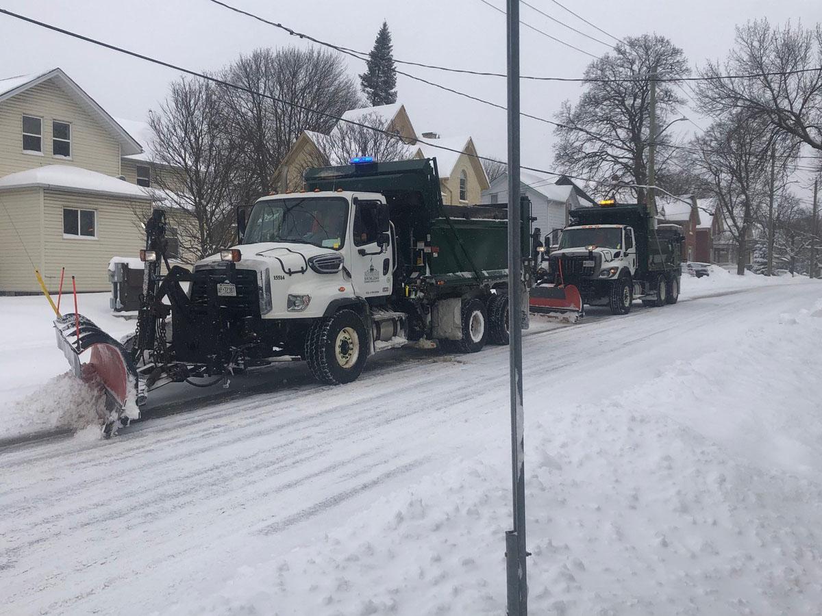
Environment Canada also says that the heavy, blowing snow could also cause surfaces to become slippery, so those travelling by car or foot need to proceed with caution.


“Prepare for quickly changing and deteriorating travel conditions. Be prepared to adjust your driving with changing road conditions,” the statement warns. “Take extra care when walking or driving in affected areas.”
Environment Canada’s special weather statement for the northern portion of Wellington County is fairly similar, although that area could see a few millimetres of ice built up overnight before the storm passes through the area on Tuesday morning.
- Posters promoting ‘Steal From Loblaws Day’ are circulating. How did we get here?
- As Canada’s tax deadline nears, what happens if you don’t file your return?
- Video shows Ontario police sharing Trudeau’s location with protester, investigation launched
- Solar eclipse eye damage: More than 160 cases reported in Ontario, Quebec
Comments