


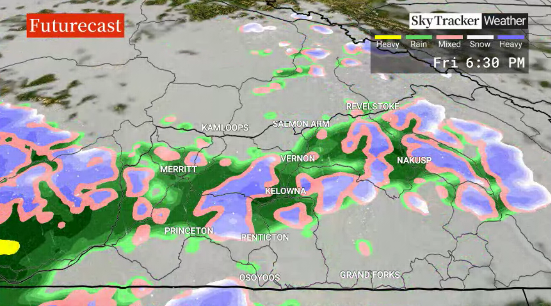
Showers will slide into the region on Thursday as a frontal system pushes through, with five to 10 millimetres of moisture possible.

During the day, temperatures should surge into the mid-single digits before falling to just above the freezing mark overnight and into Friday morning.

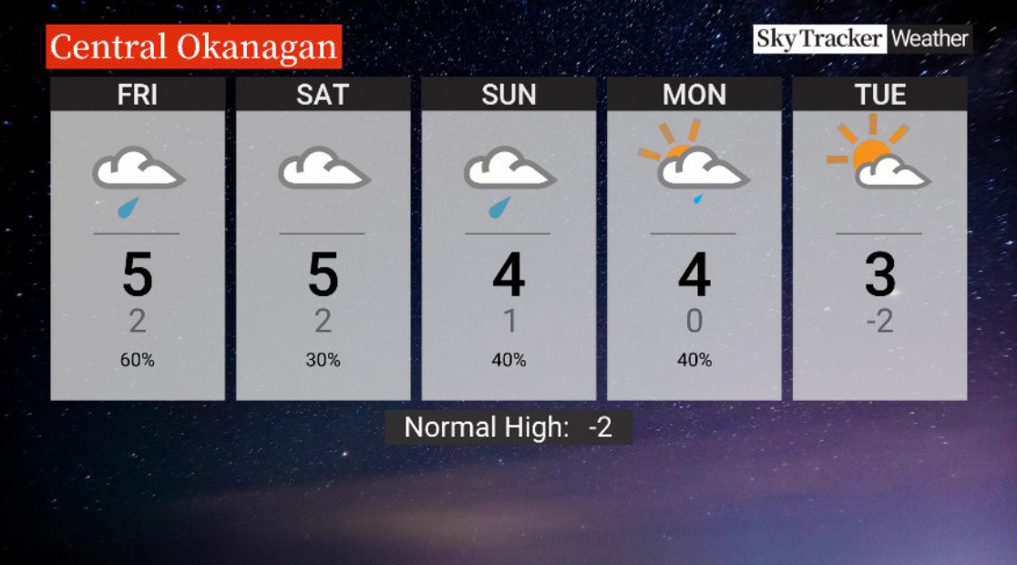
The risk of on-and-off pockets of rain will stick around on Friday, along with an afternoon high around 5 C.
A chance of showers lingers both Saturday and Sunday, and daytime highs should hover in the mid-single digits with overnight lows falling to around 0 C.

Get daily National news
Damp weather is expected to start the work week ahead, with the risk of rain eventually shifting to a possible rain-snow mix as daytime highs dip slightly.


For weather on the go download the Global News SkyTracker Weather App for iPhone, iPad or Android.


Comments
Want to discuss? Please read our Commenting Policy first.