TORONTO – If you live in eastern Ontario or Quebec, you’ll remember last Halloween was a wet one, thanks to to Hurricane Sandy.

It was the people of the east coast, in particular New York and New Jersey, who felt the most impact. They continue to rebuild today.
But eastern Canada also felt effects from the storm.
Sandy’s formation
Sandy was a complicated storm that put meteorologists hard at work trying to not only determine the path, but its likely impacts. (As an aside, there is no such thing as an official “superstorm.” It is simply a popular term that is used to describe a large and powerful storm.)
Sandy formed south of Jamaica on Oct. 22 as a tropical depression. But a mere six hours later, it had developed into a tropical storm.
Sandy continued to intensify rather rapidly. It hit the southeastern coast of Jamaica as a Category 1 hurricane on the Saffir-Simpson Scale, which measures hurricane strength from Category 1 to 5. It became a major hurricane (Category 3 or higher) before it hit Cuba early on Oct. 25.

Get daily National news
Read: 1 year on Sandy survivors to light up shore
As the storm continued on its northeast trek, it weakened, and there was hope that it would remain that way. But no such luck.
Sandy regained hurricane strength on Oct. 27 and then reintensified again on Oct. 29 with winds of 157 km/h (Category 2).
The cooler waters of the Atlantic Ocean helped to weaken the storm, but didn’t it weaken enough: the centre of the post-tropical storm slammed into New Jersey in the early morning of Oct. 30.
Headed to Canada
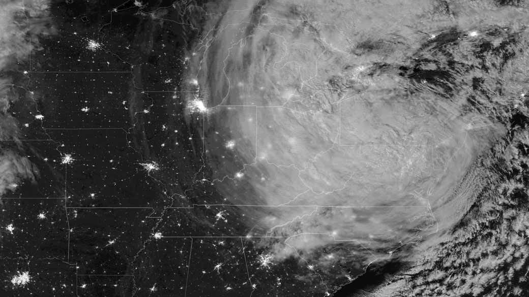
The storm then turned north-northwest before turning north toward Ontario.
Fortunately for people in Ontario, Sandy had weakened significantly. But residents still felt Sandy’s punch.
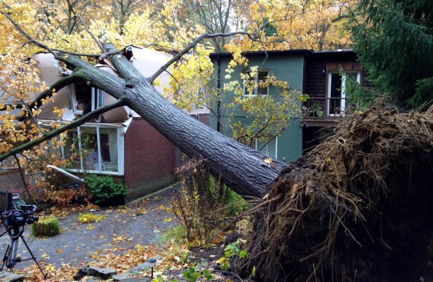
Sandy’s maximum sustained winds were near 70 to 80 km/h with gusts of 106 km/h near Georgian Bay. Winds churned up waters in the Great Lakes and waves of up to seven metres in Lake Huron. Rainfall amounts between 20 and 40 mm fell across southern Ontario. The winds also caused extensive damage in the province, and more than 150,000 people lost power due to downed hydro wires.

The storm also affected Quebec and the Maritimes. About 185 mm of rain fell in Charlevoix, QC, and the storm even spawned a tornado in Mont Laurier on Halloween. About 50,000 people throughout the province lost power. In Nova Scotia, more than 14,000 people faced power outages.
After all was said and done, Sandy – whether she was a hurricane or a post-tropical storm – cost people dearly.
In the United States, 72 people died and there was more than $50 billion in property damage from the storm. Another 72 people died in the Caribbean.
In Canada the deaths of two people were blamed on Sandy and more than $100 million in damages were reported.


Comments
Want to discuss? Please read our Commenting Policy first.