


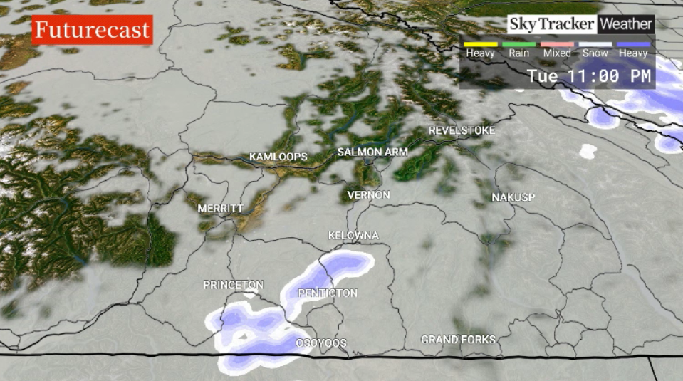
Skies are expected to clear and temperatures should rise above the freezing mark as a new work week begins.

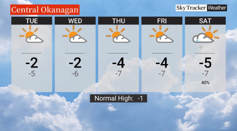
Then conditions get a bit chillier with mercury dipping below freezing for the rest of the week under a mix of sun and cloud.
Tuesday and Wednesday will see daytime highs just shy of the freezing mark.

Get daily National news
Get daily Canada news delivered to your inbox so you'll never miss the day's top stories.
By providing your email address, you have read and agree to Global News' Terms and Conditions and Privacy Policy.
Thursday and Friday will bring about afternoon temperatures ranging from -4 C to -7 C.
A transition happens over the weekend with building clouds on Saturday followed by snow Saturday night into Sunday as an arctic airmass moves in for next week.


For weather on the go download the Global News SkyTracker Weather App for iPhone, iPad or Android.


Comments
Want to discuss? Please read our Commenting Policy first.