
Pockets of potentially severe thunderstorms are expected to push through the Okanagan on Monday, bringing with them the possibility of large hail, heavy rain and strong winds.

Environment Canada issued a severe thunderstorm watch for the region Monday, while forecasting a daytime high temperature of 22C and a low of 10 C.
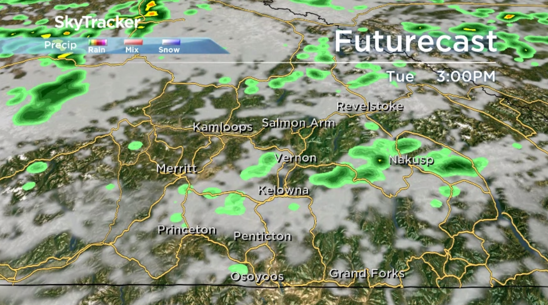
Showers will go on through the night though a mix of sun and cloud will return on Tuesday with an afternoon high back around 25 C.
Another wave of clouds is set to roll through on Wednesday with temperatures pushing toward 27 C
Then, mostly cloudy skies return Thursday with a chance of showers and a daytime high around 26 C.
That’s where highs will land on Friday and into the weekend with increasing sunshine as an upper ridge builds in.


For weather on the go download the Global News SkyTracker Weather App for iPhone, iPad or Android.
Comments