

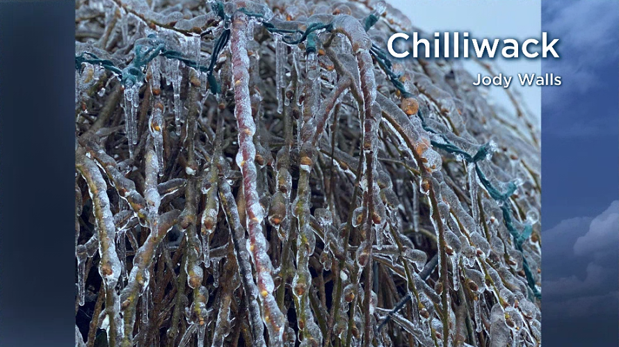
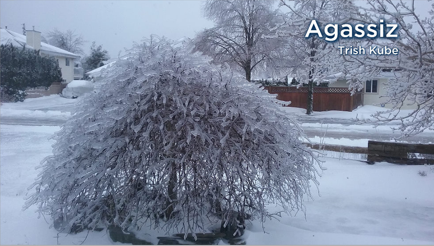
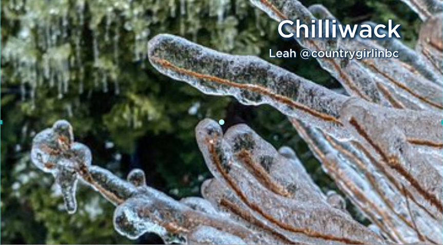
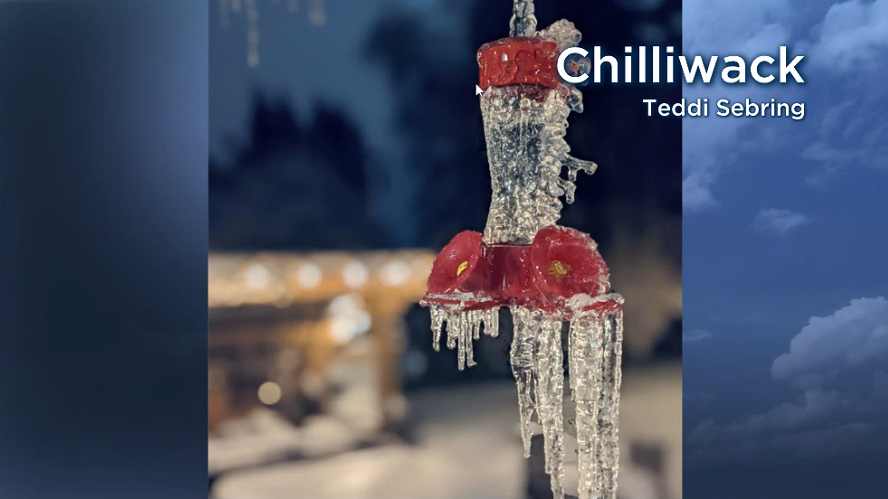
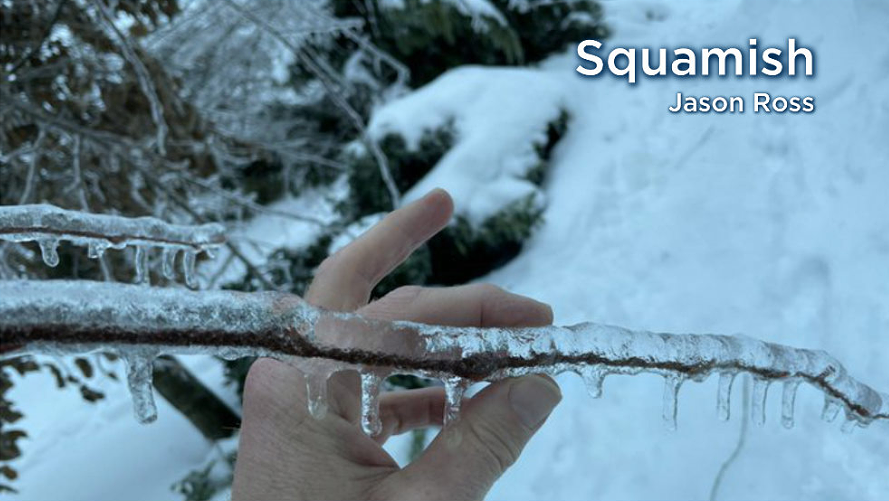
Many residents across British Columbia’s South Coast woke up to very icy conditions Friday morning.

Between 10 and 40 millimetres of freezing rain covered the Fraser Valley, Howe Sound and parts of eastern Metro Vancouver overnight, but Chilliwack and Squamish were hit the hardest.
Global News asked viewers for photos and you delivered:


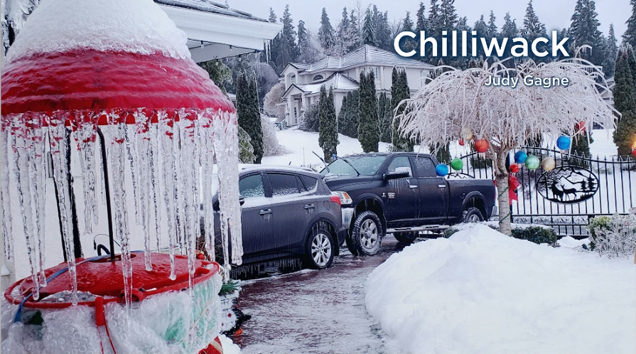

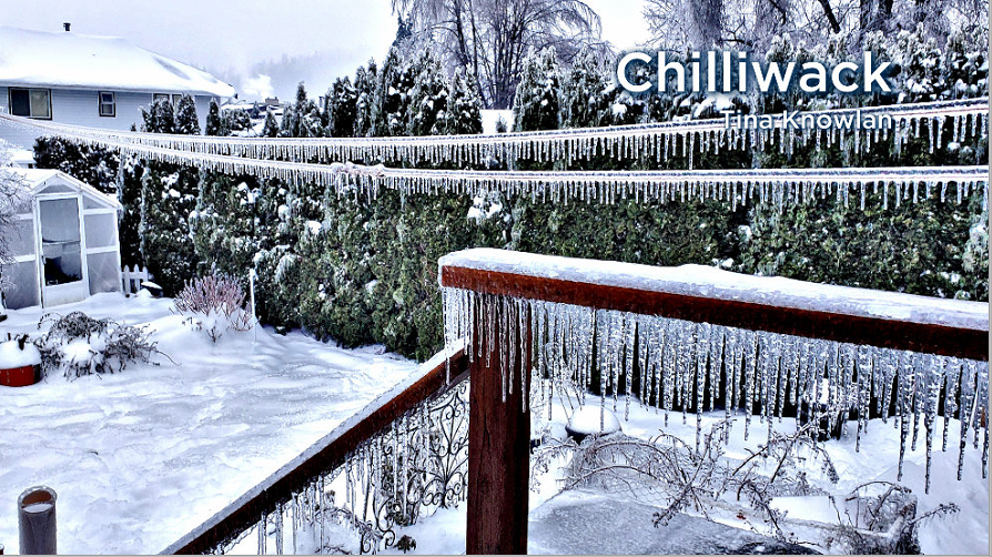
Tree branches broke under the weight of the ice and caused thousands of power outages on Friday.
Temperatures warmed up in Chilliwack to about 2 C in the afternoon and began melting the ice, but that melt won’t last long. Overnight temperatures will dip to minus 1 C, so many of these areas could be dealing with ice on Saturday as well.


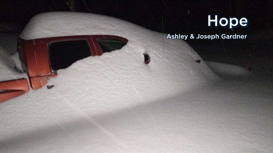
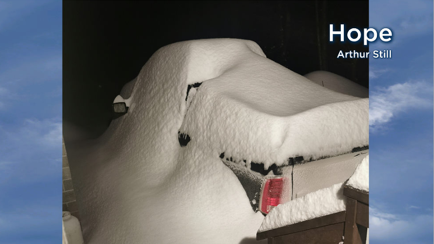
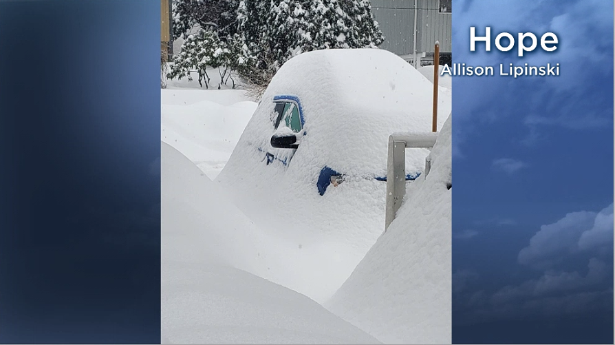
Heavy snow also blanketed the east Fraser Valley region on Thursday and Friday. At one point, Hope reported 39 centimeters of snow on the ground.

Get breaking National news
More snow is on the way for the South Coast on Friday night through to Saturday. Two to four cm is expected across Metro Vancouver while another 15 cm could fall near Hope.


Comments
Want to discuss? Please read our Commenting Policy first.