
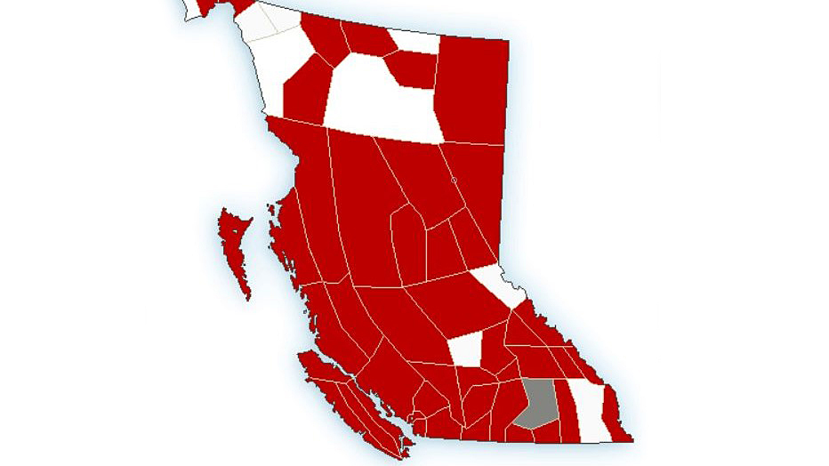
British Columbia was awash in public weather alerts on Wednesday, with extreme cold, winter storm and snowfall warnings stretching from the Yukon border in the north to Vancouver Island in the south and all along the Alberta border.

In the north, including the Dease Lake, Cassiar and Watson Lake, Fort Nelson and Peace River regions, extreme cold warnings are in effect due to persistent winds and very cold temperatures.
“A very cold airmass remains over northeastern B.C.,” said Environment Canada, adding light to moderate winds from the north or northwest will give wind chill values near or below -40 to -45.
The cold airmass is expected to remain in place through the end of this week.
In the Central Interior, for the Prince George, Stuart-Nechako, Chilcoton and Lakes District regions, extreme cold warnings are in effect.
Cold temperatures and light-to-moderate northerly winds will continue to give wind chill values near -40 for Wednesday morning.
Environment Canada says conditions are expected to improve Wednesday afternoon as the winds ease and temperatures increase.
For the Cariboo, a snowfall warning has been issued, with 10 to 20 cm expected between Wednesday night and Thursday night. The snow is expected to taper to flurries by Friday morning.
For the Central Coast, an Arctic outflow warning is in place for coastal valleys and inlets, including Terrace, Kitimat and Bella Coola, where wind chills of -20 to -30 are expected.

Also, a winter storm warning has been issued for some parts, including Haida Gwaii and northern Vancouver Island.
“A low-pressure system is forecast to approach the Central Coast this evening. Snow will develop this afternoon and evening with snowfall amounts ranging from 15 to 30 cm by late Thursday,” Environment Canada said Wednesday.

Get breaking National news
“Strong winds will also give occasional blowing snow and cold wind chill values. Extreme winds near inland fjords and inlets could cause tree branches to break and toss loose objects.”
For the rest of Vancouver Island, a winter storm warning is in effect, with heavy snow on Wednesday evening becoming mixed with rain or patchy freezing rain by Thursday morning.
“During this transition Thursday morning, there is a risk of freezing rain for central and east Vancouver Island as well as the Malahat,” Environment Canada said.
Heading inland, winter storm warnings are also in place for Metro Vancouver, Whistler, Howe Sound and the Fraser Valley.
The national weather agency said Metro Vancouver could see snowfall amounts of 10 to 20 cm, while up to 30 cm are possible for Howe Sound and the Fraser Valley.


“A low-pressure system will spread heavy snow across the B.C. South Coast beginning this evening,” Environment Canada said Wednesday. “On Thursday, snow will begin to transition to rain across Metro Vancouver as the system brings in milder air and temperatures begin to rise.
“For the western and central Fraser Valley, the transition will be from snow to freezing rain as cold air will continue to linger in the region. For the eastern Fraser Valley and Howe Sound, conditions will remain cold enough such that snow will continue all day Thursday.”
The federal agency said people should consider postponing non-essential travel until conditions improve, noting that surfaces such as highways, roads, walkways and parking lots will become icy, slippery and hazardous.
For the Southern Interior, there are snowfall, and winter storm warnings for mountain passes.
The Okanagan and Thompson regions can expect to see 10 to 20 cm, while the regions near the Alberta border could see 20 to 40 cm through to Friday morning.

Comments
Want to discuss? Please read our Commenting Policy first.