
Environment Canada has issued a number of alerts for B.C.’s Southern Interior for Saturday, Nov. 27:

Similkameen
There is a special weather statement in effect for:
- Highway 3 – Hope to Princeton via Allison Pass
Heavy rain is expected Saturday night and Sunday with “potential impacts to vulnerable landscape and infrastructure.”
Rainfall totalling 40 to 60 mm is forecast for the region.
The Ministry of Forests, Lands, Natural Resource Operations and Rural Development has also issued a high streamflow advisory for the Tulameen River, Similkameen River, Coldwater River and Nicola River.
“A second in a series of atmospheric rivers is impacting the British Columbia Coast through the weekend. Rainfall is expected to be heavy on the South Coast, with the potential for spillover of moist air across the Cascade and Coast Mountains and into Interior watersheds,” wrote ministry staff, in a release.

“Warming is also expected to contribute to snowmelt at mid-elevations and rain-on-snow runoff. River levels are expected to see rises on Saturday and into Sunday. Flooding last week has created increased vulnerabilities throughout the region and forecast flows, leading to increased risks to impacts from forecasted flows.”
Nicola

Get daily National news
There is a special weather statement in effect for:
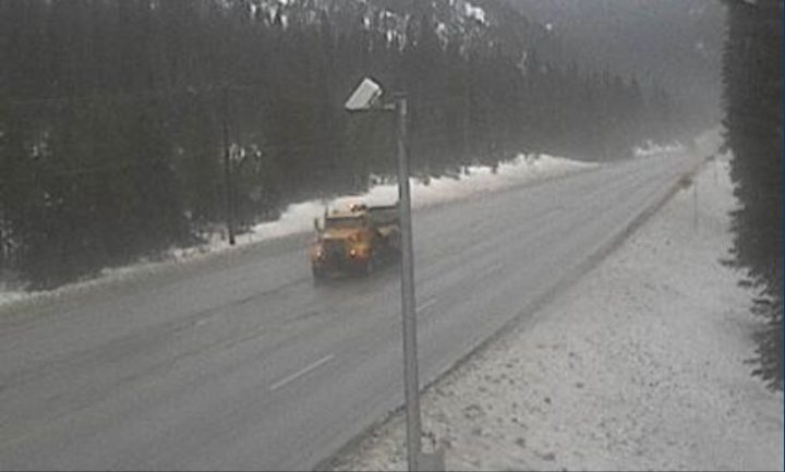
- Coquihalla Highway from Hope to the Coquihalla Summit and Highway 3 from Hope to Manning Park
Heavy rain is expected Saturday night and Sunday with “potential impacts to vulnerable landscape and infrastructure.”
Rainfall in the range of 40 to 60 mm is forecast for the region.
“Another front will approach the south coast today. Rain will begin this afternoon and become heavy tonight. Total rainfall amounts near 40 to 60 mm are expected over western and upslope sections of the highways. Areas east of the Coquihalla Summit are expected to receive lesser amounts,” wrote ministry staff, in a release.
“Strong warming will accompany this system causing freezing levels to rise well above the mountain tops this afternoon and Sunday. Snowmelt will contribute to runoff, increasing the risk of flooding and possibly impacting vulnerable landscapes and infrastructure.”
Boundary and West Kootenay
There is a special weather statement in effect for:
- Highway 3 – Paulson Summit to Kootenay Pass
Snow is expected Saturday followed by rainfall Saturday night.
Read more: Princeton prepares for next atmospheric river as Canadian Forces members fill thousands of sandbags
Snowfall of 15 to 20 cm is expected with a potential of 20 to 30 mm in the evening, according to Environment Canada.
“A strong weather system is bringing heavy snow to the Kootenay pass beginning this morning. 15 to 20 cm of snow is expected before changing to rain near midnight as freezing levels rise above the summit,” wrote ministry staff, in a release.
“After the snow changes to rain, an additional 20 to 30 mm is expected after midnight through Sunday.”
Shuswap
There is a special weather statement in effect for:
- Trans-Canada Highway – Eagle Pass to Rogers Pass
According to Environment Canada, hazardous winter conditions are expected and 25 cm of snowfall is expected followed by 20 to 30 mm of rain.
“A strong front will bring heavy snow to Eagle Pass to Rogers Pass, beginning this morning. 25 cm of snow is expected near the pass before changing to rain after midnight as freezing levels rise,” wrote ministry staff, in a release.
“After the snow changes to rain, an additional 20 to 30 mm is expected overnight through Sunday.”
Environment Canada is also warning drivers, telling them to only travel for “essential reasons.”


Comments
Want to discuss? Please read our Commenting Policy first.